
| Memorials | : | 0 |
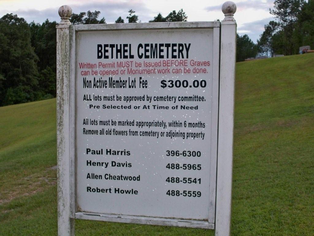
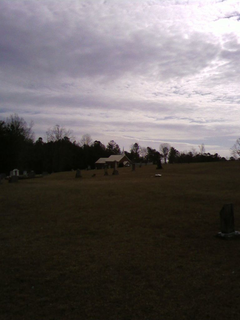
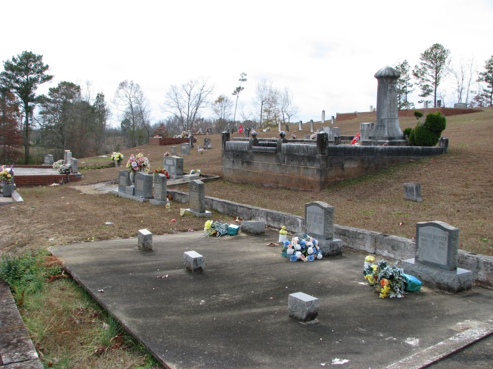
| Location | : | Delta, Clay County, USA |
| Coordinate | : | 33.4893990, -85.6841965 |
frequently asked questions (FAQ):
-
Where is Bethel Cemetery?
Bethel Cemetery is located at Delta, Clay County ,Alabama ,USA.
-
Bethel Cemetery cemetery's updated grave count on graveviews.com?
0 memorials
-
Where are the coordinates of the Bethel Cemetery?
Latitude: 33.4893990
Longitude: -85.6841965


Nearby Cemetories:
1. Ragan Chapel Cemetery
Clay County, USA
Coordinate: 33.4942017, -85.6830978
2. Open Door Baptist Church Cemetery
Delta, Clay County, USA
Coordinate: 33.4743860, -85.6932910
3. Lighthouse Independent Baptist Cemetery
Hollis Crossroads, Cleburne County, USA
Coordinate: 33.5084980, -85.6543850
4. Shiloh Primitive Baptist Cemetery
Delta, Clay County, USA
Coordinate: 33.4467010, -85.6532974
5. Good Hope Cemetery
Clay County, USA
Coordinate: 33.4592000, -85.7333000
6. Delta Cemetery
Clay County, USA
Coordinate: 33.4383000, -85.6881000
7. Macedonia Missionary Baptist Church Cemetery
Delta, Clay County, USA
Coordinate: 33.4906500, -85.7541300
8. Chulafinnee Methodist Church Cemetery
Chulafinnee, Cleburne County, USA
Coordinate: 33.5405006, -85.6503983
9. Center West Baptist Church Cemetery
Center West, Randolph County, USA
Coordinate: 33.4443700, -85.6340900
10. Chulafinnee Baptist Church Cemetery
Chulafinnee, Cleburne County, USA
Coordinate: 33.5441380, -85.6465090
11. Abel Cemetery
Abel, Cleburne County, USA
Coordinate: 33.5491982, -85.7121964
12. Hepsabah Cemetery
Hollis Crossroads, Cleburne County, USA
Coordinate: 33.5008011, -85.6078033
13. Mount Moriah Baptist Church Cemetery
Mount Moriah, Clay County, USA
Coordinate: 33.4212189, -85.6624603
14. Liberty Hill Methodist Church Cemetery
Chulafinnee, Cleburne County, USA
Coordinate: 33.5681000, -85.6650009
15. Mount Olive Cemetery North
Delta, Clay County, USA
Coordinate: 33.4165410, -85.7318120
16. Corinth Baptist Church Cemetery
Randolph County, USA
Coordinate: 33.4565800, -85.5922510
17. Mountain Grove Baptist Church Cemetery
Heflin, Cleburne County, USA
Coordinate: 33.5615190, -85.6254730
18. Union Dempsey Baptist Church Cemetery
Clay County, USA
Coordinate: 33.4458008, -85.7750015
19. Pleasant Hill Baptist Church Cemetery
Heflin, Cleburne County, USA
Coordinate: 33.5555992, -85.6117020
20. Bethlehem Primitive Baptist Church Cemetery
Heflin, Cleburne County, USA
Coordinate: 33.5766983, -85.6466980
21. Providence Cemetery
Clay County, USA
Coordinate: 33.4077988, -85.7444000
22. Sellers Family Cemetery
Randolph County, USA
Coordinate: 33.4233620, -85.5982000
23. Oak Hill Missionary Baptist Church Cemetery
Heflin, Cleburne County, USA
Coordinate: 33.5318380, -85.5768970
24. Cheaha State Park Chapel Cemetery
Delta, Clay County, USA
Coordinate: 33.4899412, -85.8123006