
| Memorials | : | 6 |
| Location | : | Dugger, Sullivan County, USA |
| Coordinate | : | 38.9985085, -87.2600098 |
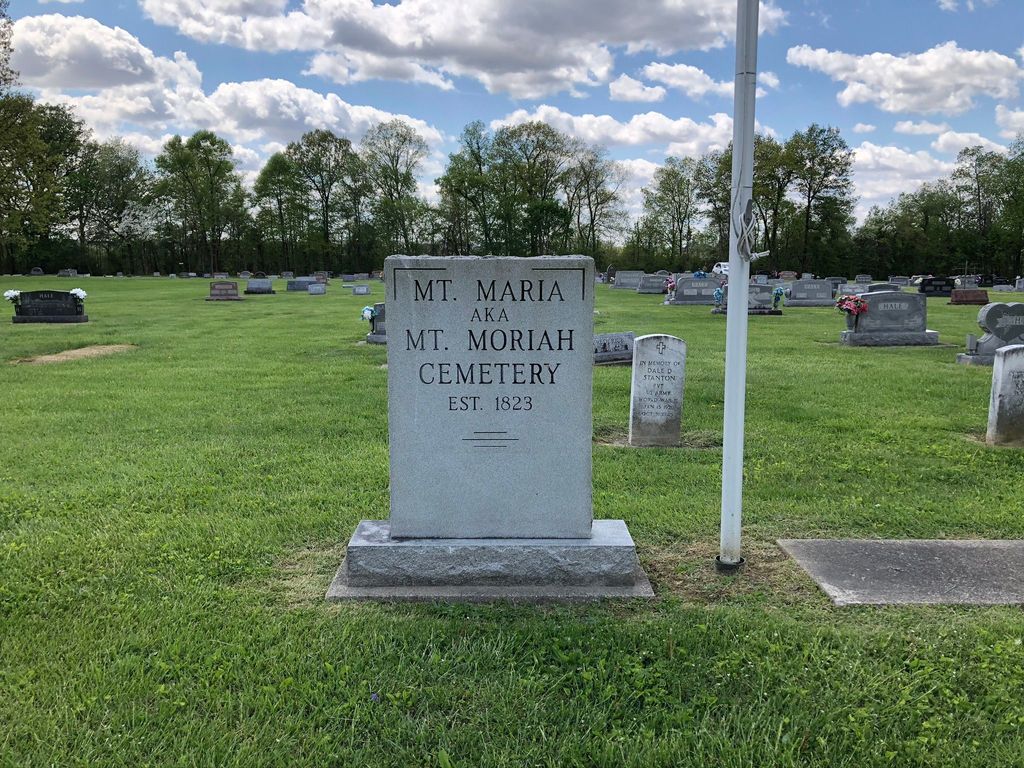
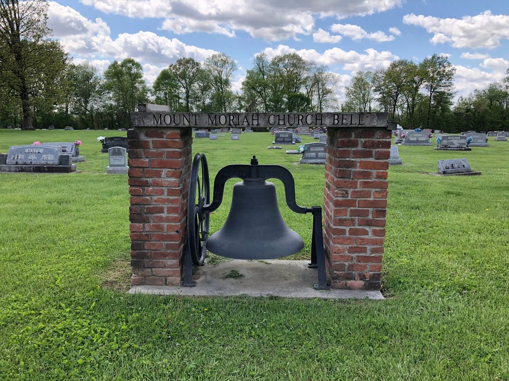
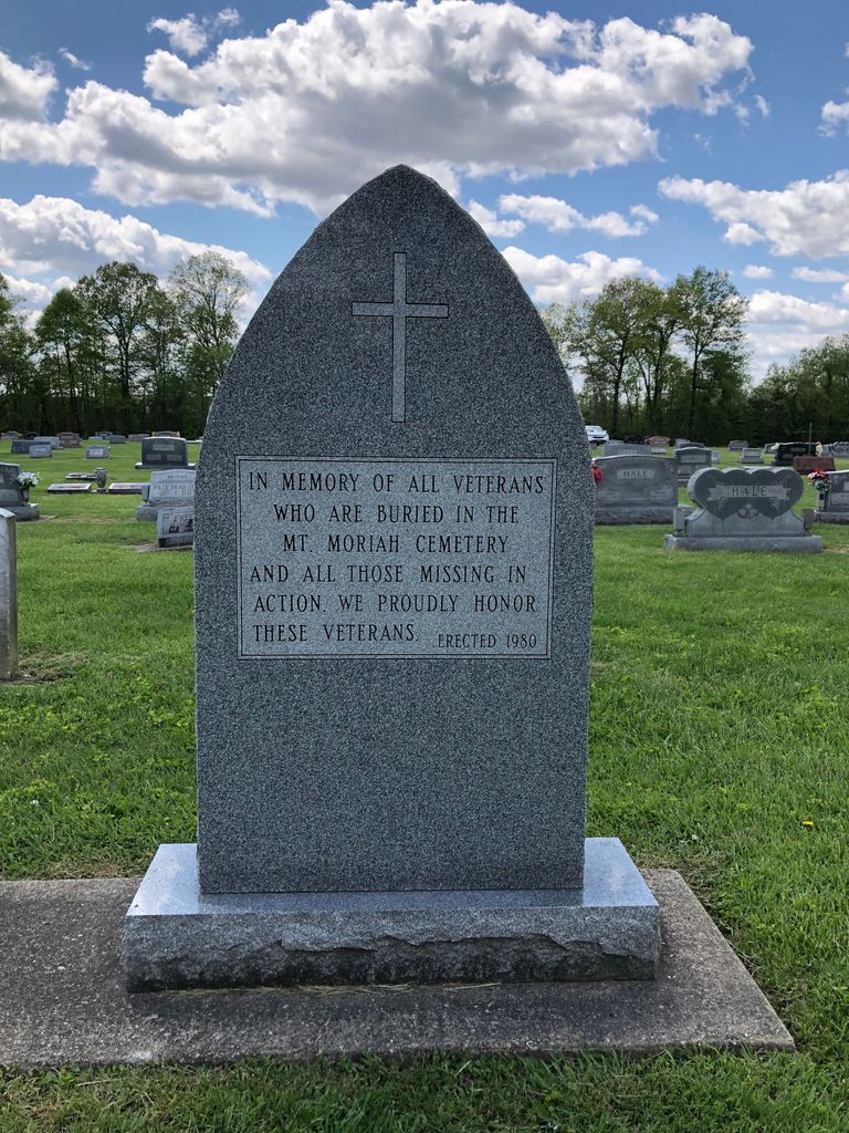
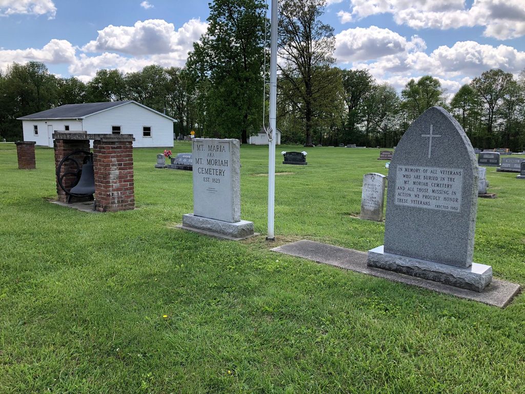
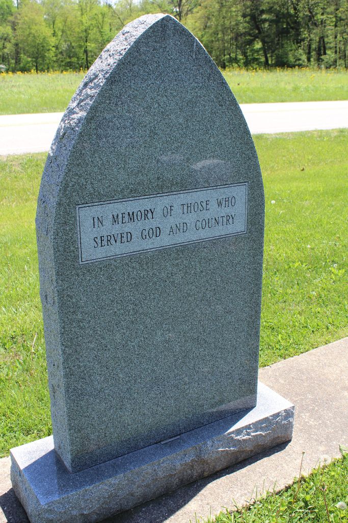
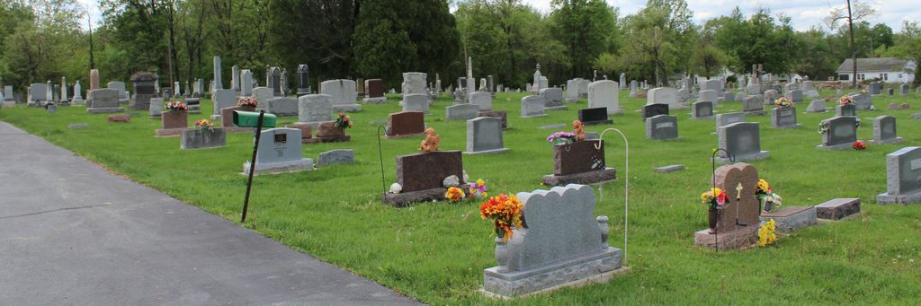
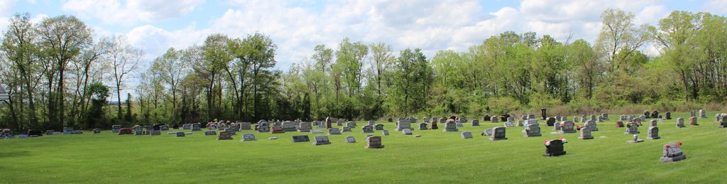
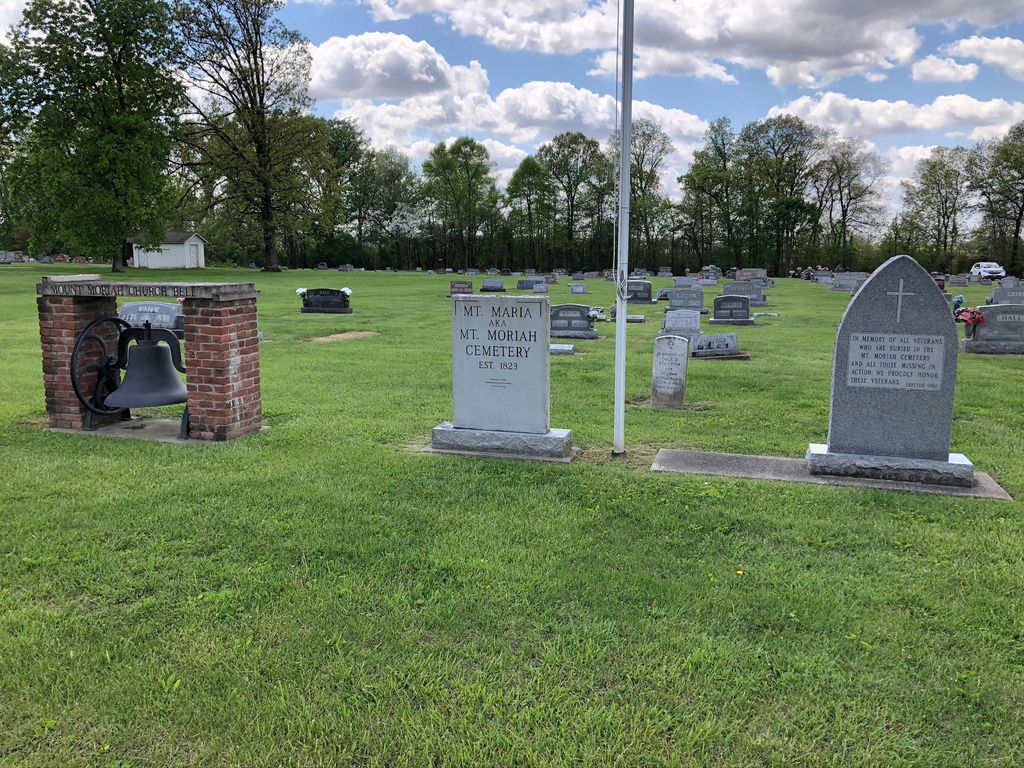
| Description | : | The cemetery is located in Jefferson Township on both the north and the south side of E County Road 575S at its intersection with S County Road 800 E (Indiana State Highway 159). Indiana Cemetery Locations, Volume 1, published by the Indiana Genealogical Society (02 April 2005), gives the primary cemetery name as Morris Chapel Cemetery. The cemetery is listed in the Cemetery and Burial Grounds Registry of the Indiana Department of Natural Resources (DNR) and in the State Historical Architectural and Archaeological Research Database (SHAARD) with Cemetery Record Number CR-77-125 (Mount Moriah). |
frequently asked questions (FAQ):
-
Where is Mount Moriah Cemetery?
Mount Moriah Cemetery is located at E County Road 575 S and S County Road 800 E (Indiana State Highway 159) Dugger, Sullivan County ,Indiana , 47848USA.
-
Mount Moriah Cemetery cemetery's updated grave count on graveviews.com?
6 memorials
-
Where are the coordinates of the Mount Moriah Cemetery?
Latitude: 38.9985085
Longitude: -87.2600098
Nearby Cemetories:
1. Moody Cemetery
Pleasantville, Sullivan County, USA
Coordinate: 38.9811000, -87.2491000
2. Hale Cemetery
Sullivan County, USA
Coordinate: 39.0158005, -87.2453003
3. McDade Cemetery
Sullivan County, USA
Coordinate: 38.9762800, -87.2667600
4. Goodman-Mayfield Cemetery
Island City, Greene County, USA
Coordinate: 38.9942000, -87.2292000
5. Burris Chapel Cemetery
Greene County, USA
Coordinate: 38.9867935, -87.2308426
6. Posey Cemetery
Bucktown, Sullivan County, USA
Coordinate: 38.9911003, -87.2968979
7. Morris Chapel Cemetery
Stockton Township, Greene County, USA
Coordinate: 39.0241547, -87.2371445
8. Chambers-Moore Cemetery
Dugger, Sullivan County, USA
Coordinate: 39.0294725, -87.2673484
9. Woodward Cemetery
Dugger, Sullivan County, USA
Coordinate: 39.0303001, -87.2677994
10. Pleasantville Cemetery
Pleasantville, Sullivan County, USA
Coordinate: 38.9651985, -87.2471008
11. Ferree Cemetery
Dugger, Sullivan County, USA
Coordinate: 39.0120811, -87.3050461
12. Pirtle Cemetery
Shiloh, Sullivan County, USA
Coordinate: 39.0218430, -87.3006210
13. Smith Cemetery
Dugger, Sullivan County, USA
Coordinate: 39.0175018, -87.3078003
14. Bethany Cemetery
Dugger, Sullivan County, USA
Coordinate: 38.9848404, -87.3127594
15. Morris Cemetery
Summit, Greene County, USA
Coordinate: 38.9636000, -87.2267000
16. Carrico Cemetery
Sullivan County, USA
Coordinate: 39.0047000, -87.3206000
17. Booker Cemetery
Sullivan County, USA
Coordinate: 39.0114640, -87.3218570
18. Hickory Cemetery
Dugger, Sullivan County, USA
Coordinate: 39.0462532, -87.2930298
19. Boyle Cemetery
Carlisle, Sullivan County, USA
Coordinate: 39.0232580, -87.3274770
20. Trimble Cemetery
Sullivan County, USA
Coordinate: 38.9768982, -87.3302994
21. Dugger Cemetery
Dugger, Sullivan County, USA
Coordinate: 39.0611000, -87.2585983
22. Indian Prairie Baptist Church Cemetery
Bucktown, Sullivan County, USA
Coordinate: 38.9479523, -87.3085327
23. Old Samaria Cemetery
Ellis, Greene County, USA
Coordinate: 39.0604910, -87.2364600
24. Clayton Cemetery
Sullivan County, USA
Coordinate: 39.0508003, -87.3094025