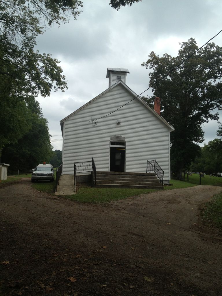
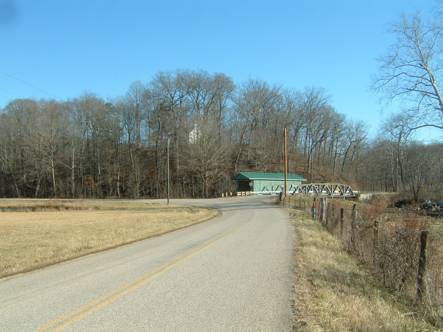
| Memorials | : | 4 |
| Location | : | Allensville, Vinton County, USA |
| Coordinate | : | 39.2870330, -82.5868680 |
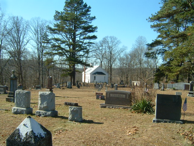
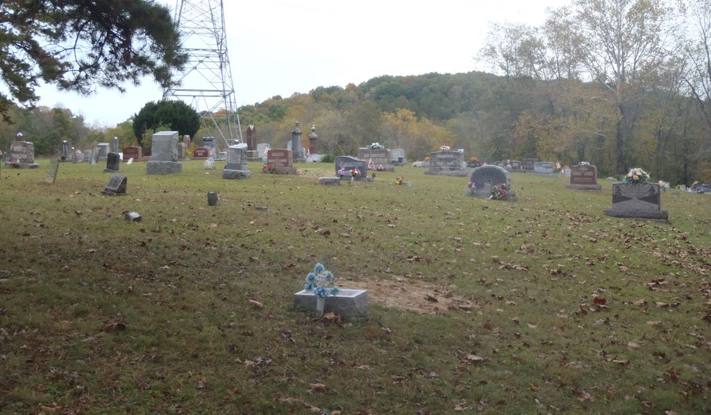
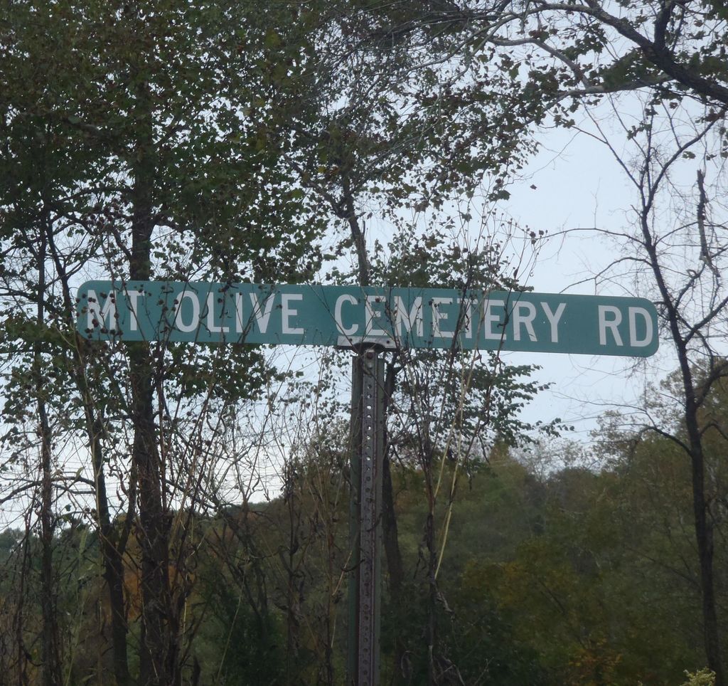
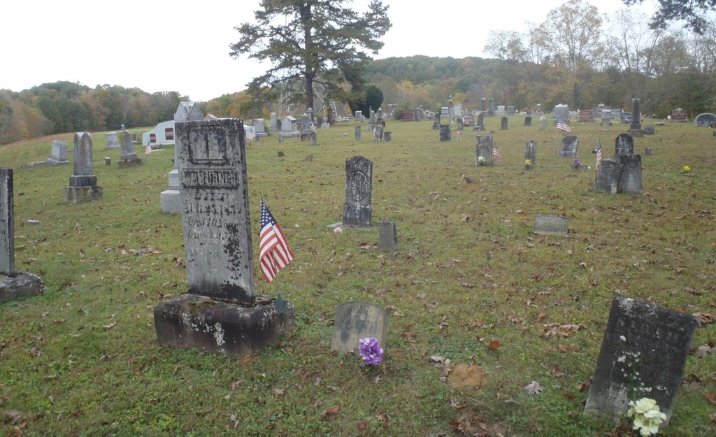
| Description | : | The cemetery is located on the north side of Mount Olive Road (Township Road 46) about 0.1 miles east of its intersection with County Road 18. The cemetery is located in Sharon Township, Vinton County, Ohio, and is # 12125 (Mount Olive Cemetery) in “Ohio Cemeteries 1803-2003”, compiled by the Ohio Genealogical Society. The cemetery is registered with the Ohio Division of Real Estate and Professional Licensing (ODRE) as Mt. Olive Cemetery with registration license number CGR. 2017000289. The U.S. Geological Survey (USGS) Geographic Names Information System (GNIS) feature ID for the cemetery is 1961645 (Mount Olive Cemetery). |
frequently asked questions (FAQ):
-
Where is Mount Olive Cemetery?
Mount Olive Cemetery is located at Mount Olive Road (Township Road 46) Allensville, Vinton County ,Ohio , 45651USA.
-
Mount Olive Cemetery cemetery's updated grave count on graveviews.com?
4 memorials
-
Where are the coordinates of the Mount Olive Cemetery?
Latitude: 39.2870330
Longitude: -82.5868680
Nearby Cemetories:
1. Bell Cemetery
Allensville, Vinton County, USA
Coordinate: 39.2764015, -82.6069031
2. Redfern Family Cemetery
Allensville, Vinton County, USA
Coordinate: 39.2671650, -82.5840890
3. Garrett Cemetery
Vinton County, USA
Coordinate: 39.2988200, -82.6119700
4. Curry Hill Cemetery
Allensville, Vinton County, USA
Coordinate: 39.2977982, -82.5438995
5. Centenary Cemetery
Vinton County, USA
Coordinate: 39.3135986, -82.5522003
6. Ankrum Cemetery
McArthur, Vinton County, USA
Coordinate: 39.2839040, -82.5377190
7. Salt Spring Cemetery
Ratcliffburg, Vinton County, USA
Coordinate: 39.2710991, -82.6322021
8. Pawpaw Cemetery
Allensville, Vinton County, USA
Coordinate: 39.2769012, -82.5374985
9. Walnut Grove Church Cemetery
Allensville, Vinton County, USA
Coordinate: 39.3210910, -82.6155610
10. Wyckoff Cemetery
Vinton, Vinton County, USA
Coordinate: 39.2386017, -82.5655975
11. Randerson Church Cemetery
Allensville, Vinton County, USA
Coordinate: 39.2357330, -82.5880051
12. Mount Zion Church Cemetery
Hamden, Vinton County, USA
Coordinate: 39.2408357, -82.5489488
13. Martindill Cemetery
Vinton County, USA
Coordinate: 39.2366982, -82.5531006
14. Slagle Farm Cemetery
Vinton County, USA
Coordinate: 39.3280983, -82.6436005
15. Slagle Cemetery
Vinton County, USA
Coordinate: 39.3300018, -82.6430969
16. Wolf Cemetery
Allensville, Vinton County, USA
Coordinate: 39.3424988, -82.6222000
17. Log Pile Church Cemetery
Allensville, Vinton County, USA
Coordinate: 39.2422830, -82.6453290
18. Stevens-Robb Cemetery
Zaleski, Vinton County, USA
Coordinate: 39.3002700, -82.5050580
19. Locust Grove Cemetery
Vinton County, USA
Coordinate: 39.3489070, -82.5520210
20. Otterbein Chapel Cemetery
Allensville, Vinton County, USA
Coordinate: 39.3587320, -82.5804440
21. McGee Cemetery
Eagle Mills, Vinton County, USA
Coordinate: 39.3266983, -82.6680984
22. Spunk Cemetery
Vinton County, USA
Coordinate: 39.3624992, -82.5856018
23. Shoemaker Cemetery
Vinton County, USA
Coordinate: 39.2196999, -82.6358032
24. Scott Cemetery
Vinton County, USA
Coordinate: 39.2639008, -82.6828003

