
| Memorials | : | 0 |
| Location | : | Allensville, Vinton County, USA |
| Coordinate | : | 39.3424988, -82.6222000 |
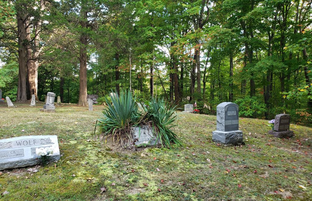
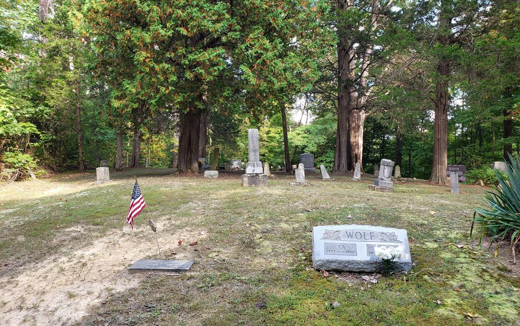
| Description | : | This cemetery is located at the end of Wolfe Cemetery Road (Township Road 31) about 1.1 miles from its intersection with Sowers Road (Township Road 20). The cemetery entrance is just south of the Macedonia church. The cemetery is located in Jackson Township, Vinton County, Ohio, and is # 12120 (Wolf Cemetery) in “Ohio Cemeteries 1803-2003”, compiled by the Ohio Genealogical Society. The U.S. Geological Survey (USGS) Geographic Names Information System (GNIS) feature ID for the cemetery is 1077221 (Wolf Cemetery). |
frequently asked questions (FAQ):
-
Where is Wolf Cemetery?
Wolf Cemetery is located at 27433 Wolfe Cemetery Road (Township Road 31) Allensville, Vinton County ,Ohio , 45651USA.
-
Wolf Cemetery cemetery's updated grave count on graveviews.com?
0 memorials
-
Where are the coordinates of the Wolf Cemetery?
Latitude: 39.3424988
Longitude: -82.6222000
Nearby Cemetories:
1. Slagle Cemetery
Vinton County, USA
Coordinate: 39.3300018, -82.6430969
2. Slagle Farm Cemetery
Vinton County, USA
Coordinate: 39.3280983, -82.6436005
3. Walnut Grove Church Cemetery
Allensville, Vinton County, USA
Coordinate: 39.3210910, -82.6155610
4. Chestnut Grove Cemetery
Vinton County, USA
Coordinate: 39.3703194, -82.6054535
5. Spunk Cemetery
Vinton County, USA
Coordinate: 39.3624992, -82.5856018
6. Otterbein Chapel Cemetery
Allensville, Vinton County, USA
Coordinate: 39.3587320, -82.5804440
7. McGee Cemetery
Eagle Mills, Vinton County, USA
Coordinate: 39.3266983, -82.6680984
8. Garrett Cemetery
Vinton County, USA
Coordinate: 39.2988200, -82.6119700
9. Lebanon Cemetery
Eagle Mills, Vinton County, USA
Coordinate: 39.3319450, -82.6800960
10. Locust Grove Cemetery
Vinton County, USA
Coordinate: 39.3489070, -82.5520210
11. Schooley Cemetery
Salt Creek Township, Hocking County, USA
Coordinate: 39.3903008, -82.6600037
12. Mount Carmel Cemetery
Laurelville, Hocking County, USA
Coordinate: 39.3804520, -82.6763820
13. Centenary Cemetery
Vinton County, USA
Coordinate: 39.3135986, -82.5522003
14. Liberty Hill Cemetery
South Bloomingville, Hocking County, USA
Coordinate: 39.3953620, -82.5815690
15. Mount Olive Cemetery
Allensville, Vinton County, USA
Coordinate: 39.2870330, -82.5868680
16. Union Cemetery
Eagle Mills, Vinton County, USA
Coordinate: 39.3213930, -82.6991650
17. Bell Cemetery
Allensville, Vinton County, USA
Coordinate: 39.2764015, -82.6069031
18. Salt Spring Cemetery
Ratcliffburg, Vinton County, USA
Coordinate: 39.2710991, -82.6322021
19. Beery Cemetery
South Bloomingville, Hocking County, USA
Coordinate: 39.4136700, -82.6089000
20. Harper Cemetery
Salt Creek Township, Hocking County, USA
Coordinate: 39.4141830, -82.6312380
21. Beery Cemetery
South Bloomingville, Hocking County, USA
Coordinate: 39.4141998, -82.6311035
22. Curry Hill Cemetery
Allensville, Vinton County, USA
Coordinate: 39.2977982, -82.5438995
23. South Bloomingville Cemetery
South Bloomingville, Hocking County, USA
Coordinate: 39.4160000, -82.5991600
24. Pike Run Cemetery
Jimtown, Vinton County, USA
Coordinate: 39.3467220, -82.7237780