| Memorials | : | 319 |
| Location | : | Battle Creek, Calhoun County, USA |
| Coordinate | : | 42.3074989, -85.1817017 |
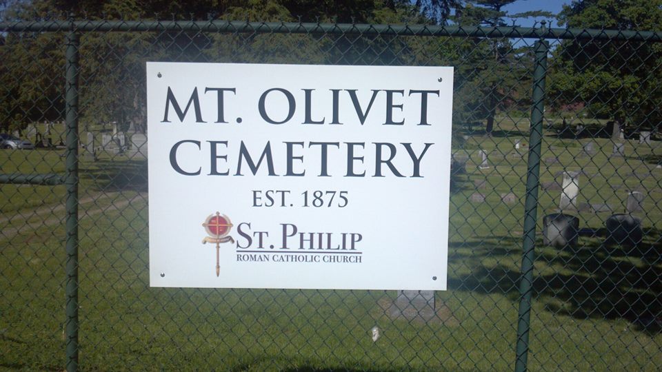
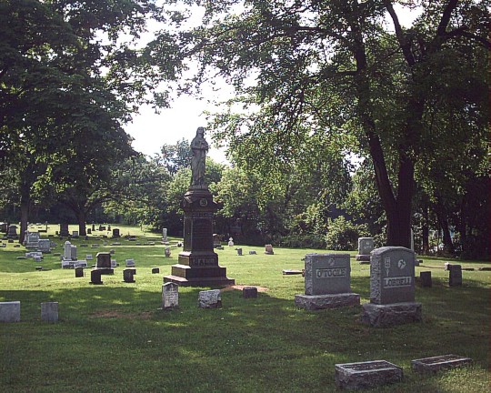
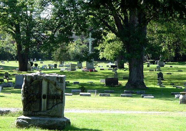
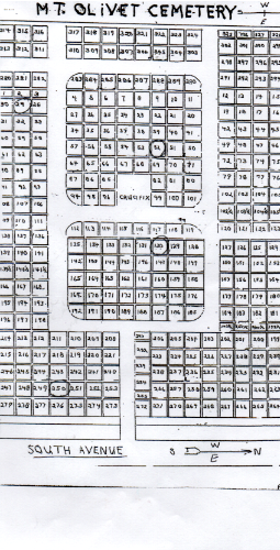
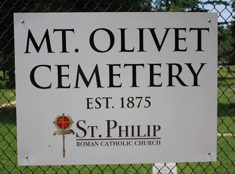
| Description | : | Mount Olivet Cemetery, owned and operated by St. Philip Roman Catholic Church, is located on South Avenue across from Oak Hill Cemetery. The cemetery has been an integral part of the local Catholic community since 1875. On Wednesday, March 1 of that year, The Battle Creek Journal announced: “The Catholic congregation has purchased five acres of ground opposite the Oak Hill Cemetery, on the Fonda farm, for a Catholic burying ground.” The purchase of the cemetery property by St. Philip’s second pastor, Father Joseph Seybold, was unpopular with many parishioners because the money used for the transaction had... Read More |
frequently asked questions (FAQ):
-
Where is Mount Olivet Cemetery?
Mount Olivet Cemetery is located at Battle Creek, Calhoun County ,Michigan ,USA.
-
Mount Olivet Cemetery cemetery's updated grave count on graveviews.com?
319 memorials
-
Where are the coordinates of the Mount Olivet Cemetery?
Latitude: 42.3074989
Longitude: -85.1817017
Nearby Cemetories:
1. Oak Hill Cemetery
Battle Creek, Calhoun County, USA
Coordinate: 42.3060989, -85.1774979
2. Saint Thomas Episcopal Church Memorial Gardens
Battle Creek, Calhoun County, USA
Coordinate: 42.3208710, -85.1795390
3. Haskell Home Cemetery
Battle Creek, Calhoun County, USA
Coordinate: 42.3350590, -85.2093310
4. Youngs Cemetery
Battle Creek, Calhoun County, USA
Coordinate: 42.3031693, -85.2358398
5. Memorial Park Cemetery
Battle Creek, Calhoun County, USA
Coordinate: 42.3005981, -85.2358017
6. Reese Cemetery
Springfield, Calhoun County, USA
Coordinate: 42.3196983, -85.2375031
7. Memorial Park Sunset Gardens
Battle Creek, Calhoun County, USA
Coordinate: 42.3010950, -85.2393690
8. Dubois Cemetery
Battle Creek, Calhoun County, USA
Coordinate: 42.2606010, -85.1956024
9. Harmon Halladay Cemetery
Bedford, Calhoun County, USA
Coordinate: 42.3546982, -85.2061005
10. Floral Lawn Memorial Gardens
Battle Creek, Calhoun County, USA
Coordinate: 42.3055992, -85.1033020
11. Beckley Cemetery
Battle Creek, Calhoun County, USA
Coordinate: 42.2633018, -85.2375031
12. Newbre Cemetery
Battle Creek, Calhoun County, USA
Coordinate: 42.2606010, -85.1196976
13. Morgan Cemetery
Battle Creek, Calhoun County, USA
Coordinate: 42.2397003, -85.1983032
14. Sandstone Cemetery
Emmett Township, Calhoun County, USA
Coordinate: 42.2963715, -85.0819778
15. Harmonia Cemetery
Bedford, Calhoun County, USA
Coordinate: 42.3436012, -85.2782974
16. Hicks Cemetery
Pennfield Township, Calhoun County, USA
Coordinate: 42.3883018, -85.1335983
17. Ceresco Cemetery
Emmett Township, Calhoun County, USA
Coordinate: 42.2785988, -85.0625000
18. Bedford Cemetery
Bedford Township, Calhoun County, USA
Coordinate: 42.3938103, -85.2306671
19. Fort Custer National Cemetery
Augusta, Kalamazoo County, USA
Coordinate: 42.3384514, -85.3191986
20. West Leroy Cemetery
West Leroy, Calhoun County, USA
Coordinate: 42.2241660, -85.2822220
21. Newton Township Cemetery
Marshall, Calhoun County, USA
Coordinate: 42.2031780, -85.1229720
22. Lawler Cemetery
Augusta, Kalamazoo County, USA
Coordinate: 42.3050003, -85.3469009
23. Checkered Cemetery
Assyria Township, Barry County, USA
Coordinate: 42.4331810, -85.1698350
24. Roof Cemetery
Climax, Kalamazoo County, USA
Coordinate: 42.2538986, -85.3368988

