
| Memorials | : | 14 |
| Location | : | Greene County, USA |
| Coordinate | : | 36.0006000, -82.9439000 |
frequently asked questions (FAQ):
-
Where is Mount Olivet Church Cemetery?
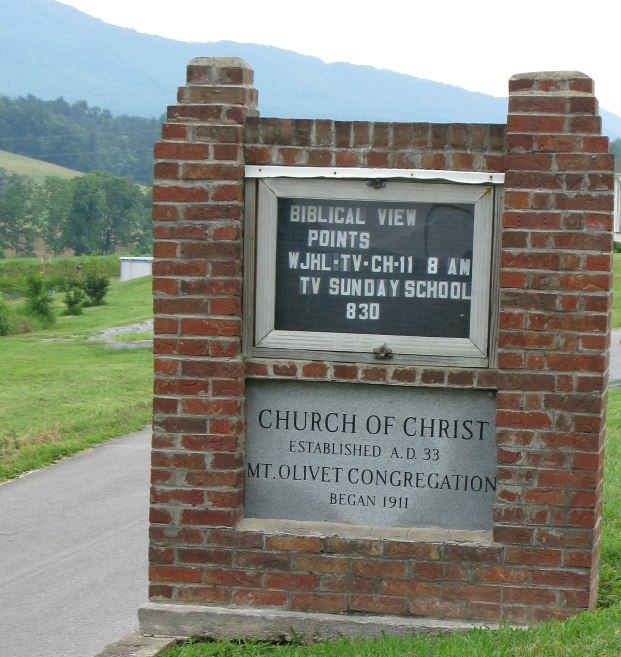
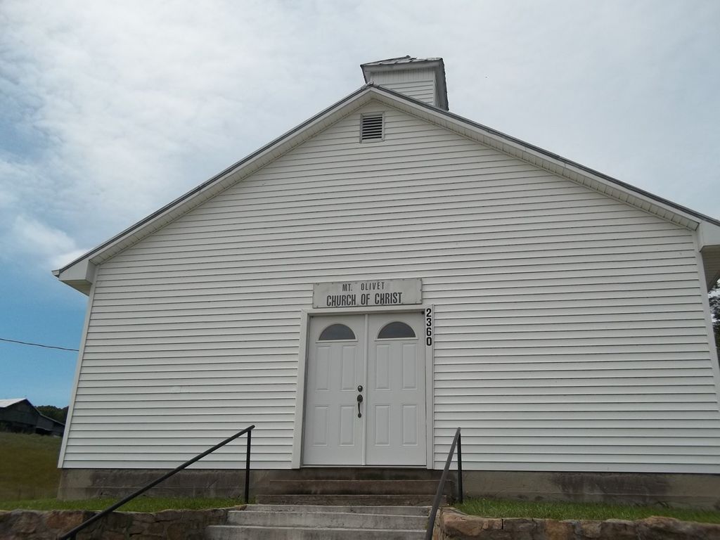
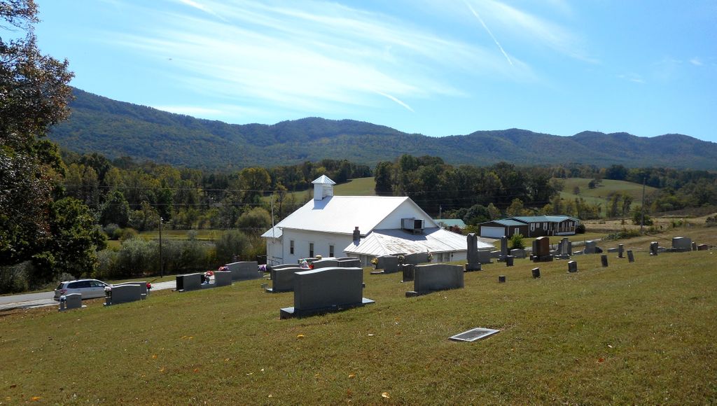
Mount Olivet Church Cemetery is located at 2360 Little Meadow Creek Rd. Greene County ,Tennessee ,USA.
-
Mount Olivet Church Cemetery cemetery's updated grave count on graveviews.com?
14 memorials
-
Where are the coordinates of the Mount Olivet Church Cemetery?
Latitude: 36.0006000
Longitude: -82.9439000
Nearby Cemetories:
1. Browns Chapel Cemetery
Cocke County, USA
Coordinate: 35.9927600, -82.9726120
2. Hale Cemetery
Houston Valley, Greene County, USA
Coordinate: 35.9692210, -82.9200490
3. Lawson, Wills, & Arrington Cemetery
Greene County, USA
Coordinate: 35.9734660, -82.9083070
4. Cedar Creek Cemetery
Cedar Creek, Greene County, USA
Coordinate: 36.0263770, -82.8995460
5. Meadow Creek Presbyterian Cemetery
Greene County, USA
Coordinate: 36.0553800, -82.9373700
6. Pine Springs Missionary Baptist Church Cemetery
Greeneville, Greene County, USA
Coordinate: 35.9782380, -82.8700750
7. Beersheba Cemetery
Limestone Springs, Greene County, USA
Coordinate: 36.0153008, -82.8566971
8. Shelton Chapel Cemetery
Caney Branch, Greene County, USA
Coordinate: 36.0542100, -83.0047400
9. Solomon Lutheran Church Cemetery
Greeneville, Greene County, USA
Coordinate: 36.0411797, -82.8680573
10. Rehobeth United Methodist Church Cemetery
Greene County, USA
Coordinate: 36.0158005, -82.8518982
11. O & S Chapel United Methodist Church Cemetery
Caney Branch, Greene County, USA
Coordinate: 36.0556490, -83.0153300
12. Mooneyham Cemetery
Del Rio, Cocke County, USA
Coordinate: 35.9244003, -82.9766998
13. Haire Family Cemetery
Greene County, USA
Coordinate: 35.9888992, -82.8432999
14. Susong Graveyard Old
Greeneville, Greene County, USA
Coordinate: 36.0848700, -82.9246600
15. Paint Rock Cemetery
Paint Rock, Madison County, USA
Coordinate: 35.9287500, -82.8851800
16. Lamb Family Cemetery at Sherills Cove
Greene County, USA
Coordinate: 35.9959800, -82.8374200
17. Fugate Free Will Baptist Church Cemetery
Del Rio, Cocke County, USA
Coordinate: 35.9167500, -82.9732900
18. New Ebenezer Presbyterian Church Cemetery
DeBusk, Greene County, USA
Coordinate: 36.0742684, -82.8851504
19. Maynard Cemetery
Hot Springs, Madison County, USA
Coordinate: 35.9168800, -82.9116700
20. Daniels Cemetery
Del Rio, Cocke County, USA
Coordinate: 35.9197300, -82.9890700
21. Captain A.C. Huff Family Cemetery
Del Rio, Cocke County, USA
Coordinate: 35.9195100, -82.9893700
22. Pruitt Hill United Methodist Church Cemetery
Greeneville, Greene County, USA
Coordinate: 36.0751660, -82.8807880
23. Loves Memorial United Methodist Church Cemetery
Greene County, USA
Coordinate: 36.0791740, -83.0029630
24. Bethel Full Gospel Church Cemetery
Greeneville, Greene County, USA
Coordinate: 36.0885250, -82.9100820