
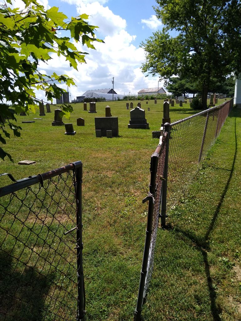
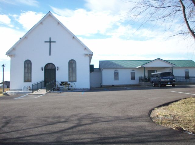
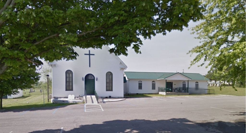
| Memorials | : | 32 |
| Location | : | White Oak, Garrard County, USA |
| Coordinate | : | 37.7461580, -84.6522530 |
frequently asked questions (FAQ):
-
Where is Mount Olivet Methodist Cemetery?
Mount Olivet Methodist Cemetery is located at 1401 Kennedy Bridge Road (Kentucky State Highway 152) White Oak, Garrard County ,Kentucky , 40444USA.
-
Mount Olivet Methodist Cemetery cemetery's updated grave count on graveviews.com?
32 memorials
-
Where are the coordinates of the Mount Olivet Methodist Cemetery?
Latitude: 37.7461580
Longitude: -84.6522530
Nearby Cemetories:
1. White Oak Cemetery
Garrard County, USA
Coordinate: 37.7381410, -84.6464610
2. Walker-Simpson Af-Am Cemetery
White Oak, Garrard County, USA
Coordinate: 37.7390500, -84.6437300
3. Harmony Presbyterian Church Cemetery
Buena Vista, Garrard County, USA
Coordinate: 37.7515200, -84.6664600
4. Day's Cemetery
Garrard County, USA
Coordinate: 37.7629610, -84.6578590
5. James Crow Cemetery
Buena Vista, Garrard County, USA
Coordinate: 37.7616650, -84.6713850
6. Bright Cemetery
Bryantsville, Garrard County, USA
Coordinate: 37.7256860, -84.6420700
7. Crow Cemetery
Buena Vista, Garrard County, USA
Coordinate: 37.7626770, -84.6709210
8. Kays Farm Cemetery
Bryantsville, Garrard County, USA
Coordinate: 37.7237500, -84.6639060
9. Spillman Family Graveyard
Buena Vista, Garrard County, USA
Coordinate: 37.7546430, -84.6853340
10. Benjamin Dunn Cemetery
Bryantsville, Garrard County, USA
Coordinate: 37.7186030, -84.6452780
11. Smith Cemetery
Lancaster, Garrard County, USA
Coordinate: 37.7199940, -84.6675000
12. Hogan Cemetery
Bryantsville, Garrard County, USA
Coordinate: 37.7161820, -84.6481390
13. Terrill Cemetery
Bryantsville, Garrard County, USA
Coordinate: 37.7763850, -84.6658310
14. Burnt Tavern Cemetery
Garrard County, USA
Coordinate: 37.7119470, -84.6527790
15. Saint James Cemetery
Buena Vista, Garrard County, USA
Coordinate: 37.7493400, -84.7020100
16. Mayes Cemetery
Burgin, Mercer County, USA
Coordinate: 37.7270770, -84.6964360
17. Bonta Family Graveyard
Burgin, Mercer County, USA
Coordinate: 37.7418900, -84.7044400
18. Swope Cemetery
Bryantsville, Garrard County, USA
Coordinate: 37.7094460, -84.6777770
19. Chapman Cemetery
Nicholasville, Jessamine County, USA
Coordinate: 37.7701170, -84.6063500
20. Mount Hebron Cemetery
Garrard County, USA
Coordinate: 37.7146440, -84.6085990
21. Bonta and Sallee Family Graveyard
Burgin, Mercer County, USA
Coordinate: 37.7293500, -84.7098000
22. Camp Nelson Family Cemetery
Nicholasville, Jessamine County, USA
Coordinate: 37.7875600, -84.6198030
23. Majors Cemetery
Bryantsville, Garrard County, USA
Coordinate: 37.7708080, -84.7055450
24. Jefferies Cemetery
Bryantsville, Garrard County, USA
Coordinate: 37.6980510, -84.6394310