| Memorials | : | 11 |
| Location | : | Odessa, Lafayette County, USA |
| Coordinate | : | 38.9409218, -93.8814163 |
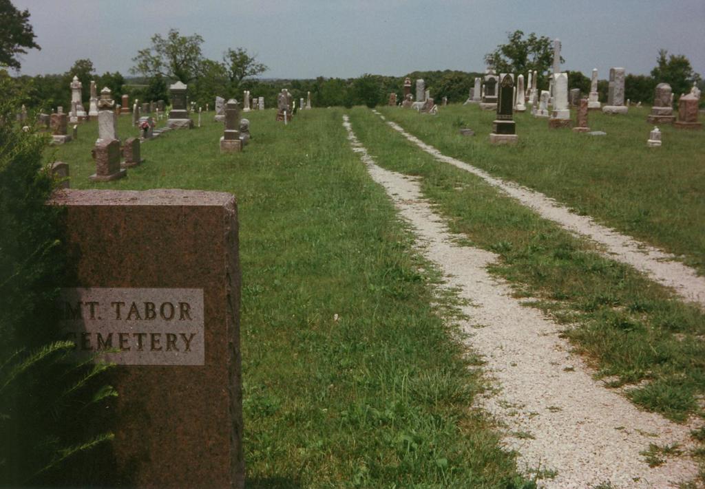
| Description | : | The Mt. Tabor Cemetery is located south central Lafayette County, southeast of Odessa, Missouri. The cemetery is behind the Mt. Tabor Methodist Church which was founded in 1873. Take exit 41 off Interstate Highway 70. Go south on Highway M about 4.5 miles to Mt. Tabor Road. Turn east (left) on Mt. Tabor Road and go less than 1/2 mile. The cemetery is behind the Mt. Tabor Methodist Church building on the north side of the road and can be seen from Highway M. |
frequently asked questions (FAQ):
-
Where is Mount Tabor Cemetery?
Mount Tabor Cemetery is located at Odessa, Lafayette County ,Missouri ,USA.
-
Mount Tabor Cemetery cemetery's updated grave count on graveviews.com?
10 memorials
-
Where are the coordinates of the Mount Tabor Cemetery?
Latitude: 38.9409218
Longitude: -93.8814163
Nearby Cemetories:
1. Summers-Helm Cemetery
Odessa, Lafayette County, USA
Coordinate: 38.9469200, -93.8900800
2. Whitsitt Family Cemetery
Odessa, Lafayette County, USA
Coordinate: 38.9691150, -93.9055220
3. Maxwell-Gordy Cemetery
Odessa, Lafayette County, USA
Coordinate: 38.9869510, -93.8955970
4. Countryside Community Cemetery
Johnson County, USA
Coordinate: 38.9051690, -93.9377540
5. Miracle Ridge Cemetery
Columbus, Johnson County, USA
Coordinate: 38.8807290, -93.9040130
6. Odessa Cemetery
Odessa, Lafayette County, USA
Coordinate: 39.0005989, -93.9244003
7. McGinness Cemetery
Freedom, Lafayette County, USA
Coordinate: 38.9663900, -93.7945200
8. Columbus Christian Church Cemetery
Columbus, Johnson County, USA
Coordinate: 38.8619300, -93.8908700
9. Cumberland Presbyterian Cemetery
Columbus, Johnson County, USA
Coordinate: 38.8595900, -93.8906500
10. Wood's Chapel Cemetery
Johnson County, USA
Coordinate: 38.8884100, -93.9684700
11. Woods Chapel Cemetery
Odessa, Lafayette County, USA
Coordinate: 38.8883530, -93.9694710
12. McKendree Cemetery
Chapel Hill, Lafayette County, USA
Coordinate: 38.9217110, -93.9972610
13. Mount Hebron Cemetery
Odessa, Lafayette County, USA
Coordinate: 39.0361200, -93.8923790
14. Marvin Chapel Cemetery
Lafayette County, USA
Coordinate: 39.0190048, -93.8088074
15. Mound Prairie Baptist Church Cemetery
Mayview, Lafayette County, USA
Coordinate: 39.0224180, -93.8147020
16. Ragland Family Cemetery
Mayview, Lafayette County, USA
Coordinate: 39.0205400, -93.8024300
17. Mount Hebron Cemetery
Mayview, Lafayette County, USA
Coordinate: 39.0455017, -93.8899002
18. Jacoby Chapel Cemetery
Warrensburg, Johnson County, USA
Coordinate: 38.8389397, -93.8457108
19. Cobb Cemetery
Odessa, Lafayette County, USA
Coordinate: 38.9115500, -94.0126800
20. Cobb Cemetery
Johnson County, USA
Coordinate: 38.9117012, -94.0128021
21. Zion United Church of Christ Cemetery
Mayview, Lafayette County, USA
Coordinate: 39.0469400, -93.8178800
22. Mount Moriah Cemetery
Hazel Hill Township, Johnson County, USA
Coordinate: 38.8489900, -93.7859500
23. Mount Maria Cemetery
Johnson County, USA
Coordinate: 38.8492012, -93.7855988
24. Powell Family Cemetery
Mayview, Lafayette County, USA
Coordinate: 39.0568900, -93.9173200


