
| Memorials | : | 5 |
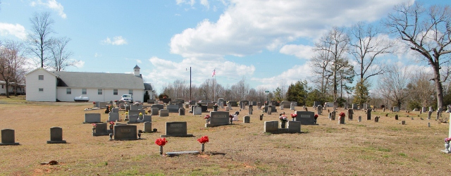
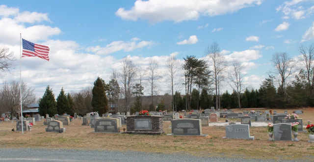
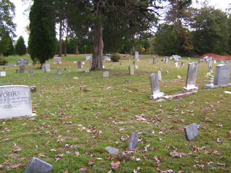
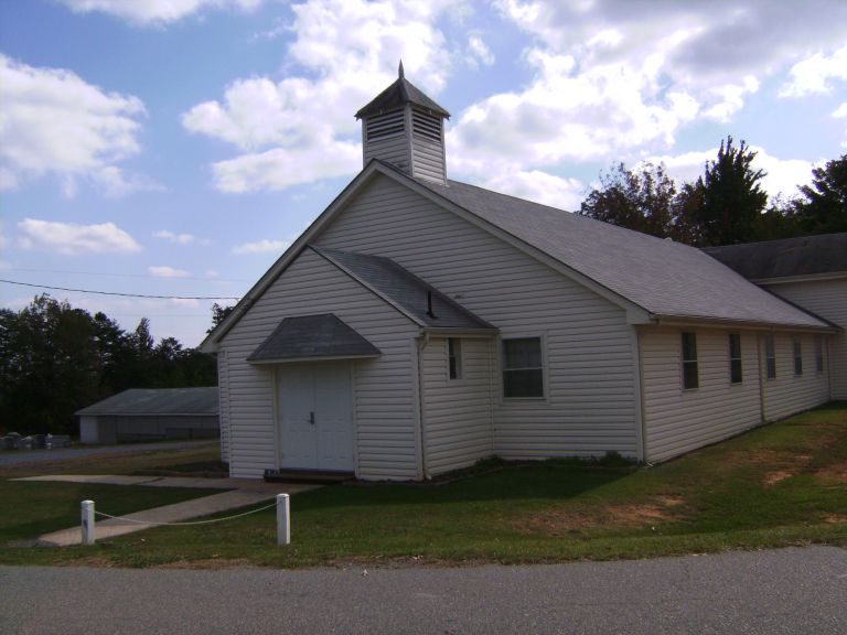
| Location | : | Asheboro, Randolph County, USA |
| Coordinate | : | 35.6892900, -79.7318400 |
| Description | : | At Mount Tabor Church Road and Vesper Trail. |
frequently asked questions (FAQ):
-
Where is Mount Tabor Community Church Cemetery?
Mount Tabor Community Church Cemetery is located at Asheboro, Randolph County ,North Carolina ,USA.
-
Mount Tabor Community Church Cemetery cemetery's updated grave count on graveviews.com?
4 memorials
-
Where are the coordinates of the Mount Tabor Community Church Cemetery?
Latitude: 35.6892900
Longitude: -79.7318400
Nearby Cemetories:
1. Spoons Chapel United Church of Christ Cemetery
Asheboro, Randolph County, USA
Coordinate: 35.6763150, -79.7345110
2. Mountain of Faith Christian Church Cemetery
Asheboro, Randolph County, USA
Coordinate: 35.6760930, -79.7129830
3. Bethel Friends Cemetery
Asheboro, Randolph County, USA
Coordinate: 35.6645700, -79.7391200
4. Shady Grove Community Cemetery
Asheboro, Randolph County, USA
Coordinate: 35.7192180, -79.7287920
5. Providence Baptist Church Cemetery
Asheboro, Randolph County, USA
Coordinate: 35.7231400, -79.7237930
6. Pleasant Cross Christian Church Cemetery
Asheboro, Randolph County, USA
Coordinate: 35.7254000, -79.7268740
7. Richland Baptist Church Cemetery
Asheboro, Randolph County, USA
Coordinate: 35.6543740, -79.7559120
8. Browers Chapel UMC Cemetery
Asheboro, Randolph County, USA
Coordinate: 35.6747290, -79.7854000
9. Billy Trogdon Cemetery
Asheboro, Randolph County, USA
Coordinate: 35.7392800, -79.7219100
10. Oddfellow-McAlister Cemetery
Asheboro, Randolph County, USA
Coordinate: 35.7090670, -79.7942090
11. Mount Calvary Cemetery
Asheboro, Randolph County, USA
Coordinate: 35.7095920, -79.7940450
12. Pleasant Ridge Christian Church Cemetery
Ramseur, Randolph County, USA
Coordinate: 35.7046860, -79.6670060
13. Holly Spring Friends Meeting Cemetery
Ramseur, Randolph County, USA
Coordinate: 35.6697270, -79.6676470
14. Cedar Falls United Methodist Church Cemetery
Asheboro, Randolph County, USA
Coordinate: 35.7472920, -79.7338990
15. Cedar Falls Baptist Church Cemetery
Cedar Falls, Randolph County, USA
Coordinate: 35.7480800, -79.7357800
16. Stouts Chapel UMC Cemetery
Ramseur, Randolph County, USA
Coordinate: 35.6647210, -79.6646660
17. Franklinville United Methodist Church Cemetery
Franklinville, Randolph County, USA
Coordinate: 35.7462900, -79.7037500
18. Goins Family Cemetery
Asheboro, Randolph County, USA
Coordinate: 35.6285300, -79.7079600
19. Clear View Baptist Church Cemetery
Franklinville, Randolph County, USA
Coordinate: 35.7530800, -79.7234300
20. Giles Chapel United Methodist Church Cemetery
Asheboro, Randolph County, USA
Coordinate: 35.7462270, -79.7752450
21. First Baptist Church Cemetery
Franklinville, Randolph County, USA
Coordinate: 35.7482230, -79.6908630
22. Union Grove Christian Church Cemetery
Asheboro, Randolph County, USA
Coordinate: 35.6235200, -79.7106600
23. Mill Creek Friends Cemetery
Asheboro, Randolph County, USA
Coordinate: 35.6922270, -79.6463380
24. Old Salem Cemetery
Franklinville, Randolph County, USA
Coordinate: 35.7414017, -79.6742020