
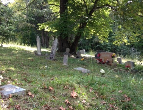
| Memorials | : | 4 |
| Location | : | Greeneville, Greene County, USA |
| Coordinate | : | 36.1881520, -82.8514860 |
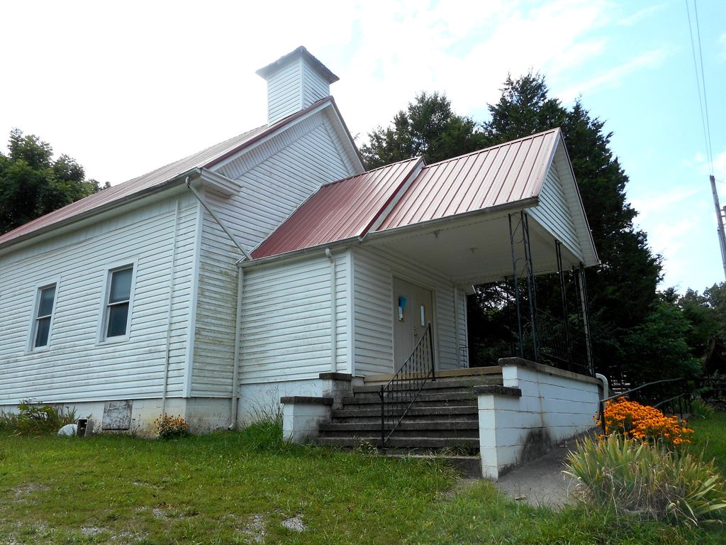
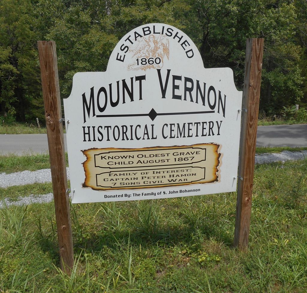
| Description | : | This cemetery is maintained by the Bohannon Family and is not associated with the Mount Vernon United Methodist Church. |
frequently asked questions (FAQ):
-
Where is Mount Vernon Historical Cemetery?
Mount Vernon Historical Cemetery is located at 1015 Doughty Chapel Road Greeneville, Greene County ,Tennessee ,USA.
-
Mount Vernon Historical Cemetery cemetery's updated grave count on graveviews.com?
4 memorials
-
Where are the coordinates of the Mount Vernon Historical Cemetery?
Latitude: 36.1881520
Longitude: -82.8514860
Nearby Cemetories:
1. Kidwell Cemetery
Greeneville, Greene County, USA
Coordinate: 36.2063600, -82.8381400
2. Hardins Chapel United Methodist Church Cemetery
Greeneville, Greene County, USA
Coordinate: 36.2108190, -82.8368730
3. McCurry Cemetery
Baileyton, Greene County, USA
Coordinate: 36.2000008, -82.8217010
4. New Bethel Cumberland Presbyterian Cemetery
Greene County, USA
Coordinate: 36.1954060, -82.8839970
5. Wesley Cemetery
Greeneville, Greene County, USA
Coordinate: 36.1616490, -82.8409984
6. Saint James Episcopal Church Cemetery
Greeneville, Greene County, USA
Coordinate: 36.1643380, -82.8310470
7. Oak Grove Cemetery
Greeneville, Greene County, USA
Coordinate: 36.1711006, -82.8210983
8. Holston Home For Children Cemetery
Greeneville, Greene County, USA
Coordinate: 36.1576400, -82.8485940
9. Old Harmony Graveyard
Greeneville, Greene County, USA
Coordinate: 36.1632996, -82.8274994
10. Andrew Johnson National Cemetery
Greeneville, Greene County, USA
Coordinate: 36.1553001, -82.8380966
11. Mount Bethel Cemetery
Greeneville, Greene County, USA
Coordinate: 36.1707993, -82.8139038
12. Bradburn Hill UMC Cemetery
Greeneville, Greene County, USA
Coordinate: 36.1923360, -82.8051980
13. Trobaugh-Myers Cemetery
Greeneville, Greene County, USA
Coordinate: 36.1651400, -82.8889710
14. J.H. Anderson Cemetery
Greene County, USA
Coordinate: 36.2139300, -82.8874800
15. Fortner-Moore Cemetery
Greeneville, Greene County, USA
Coordinate: 36.2026770, -82.8001320
16. Fortner-Gass Cemetery
Greene County, USA
Coordinate: 36.2242012, -82.8193970
17. Mount Pleasant Methodist Church Cemetery
Greeneville, Greene County, USA
Coordinate: 36.1693670, -82.9067280
18. William Alexander Hankins Cemetery
Cross Anchor, Greene County, USA
Coordinate: 36.1342000, -82.8249290
19. Ottway Bible Church Cemetery
Ottway, Greene County, USA
Coordinate: 36.2449610, -82.8812270
20. Malone Cemetery
Ottway, Greene County, USA
Coordinate: 36.2508200, -82.8611200
21. Cedar Hill Cemetery
Greeneville, Greene County, USA
Coordinate: 36.1291000, -82.8913500
22. Carters Station UMC Cemetery
Mosheim, Greene County, USA
Coordinate: 36.2395860, -82.9099840
23. Amity Presbyterian Cemetery
Greeneville, Greene County, USA
Coordinate: 36.1179870, -82.8528070
24. Carters Station UMC Churchyard
Mosheim, Greene County, USA
Coordinate: 36.2410380, -82.9098200