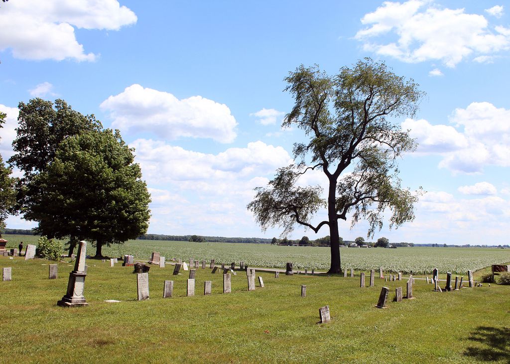
| Memorials | : | 0 |
| Location | : | Dayton, Berrien County, USA |
| Coordinate | : | 41.7839210, -86.4354520 |
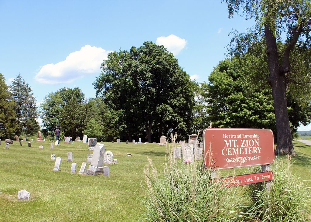
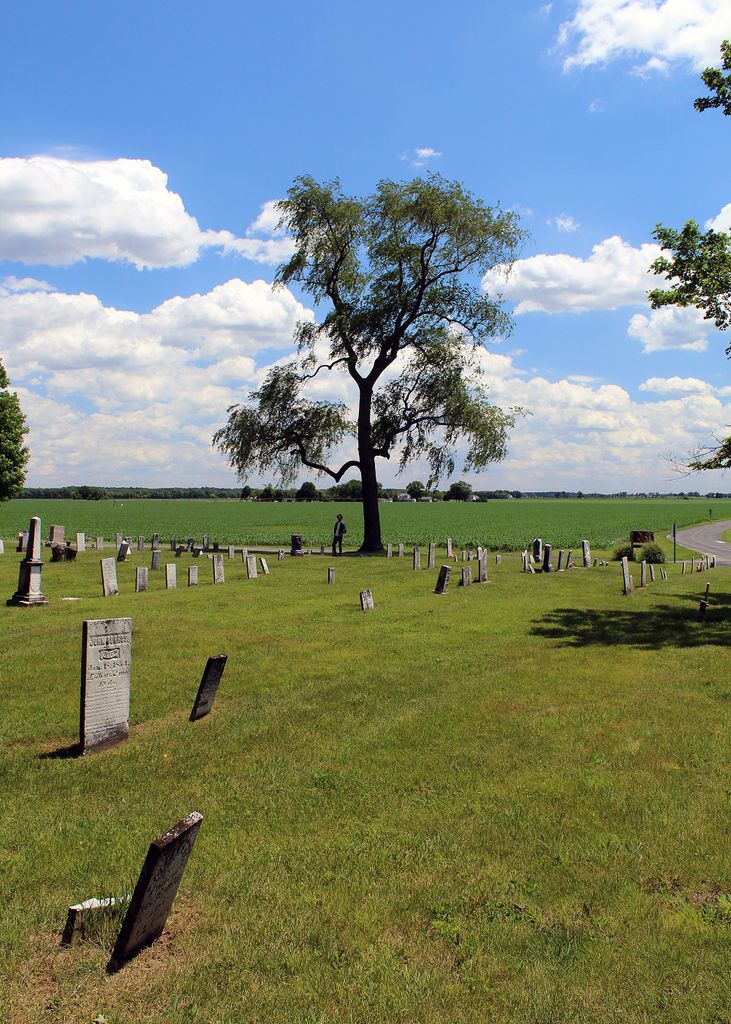
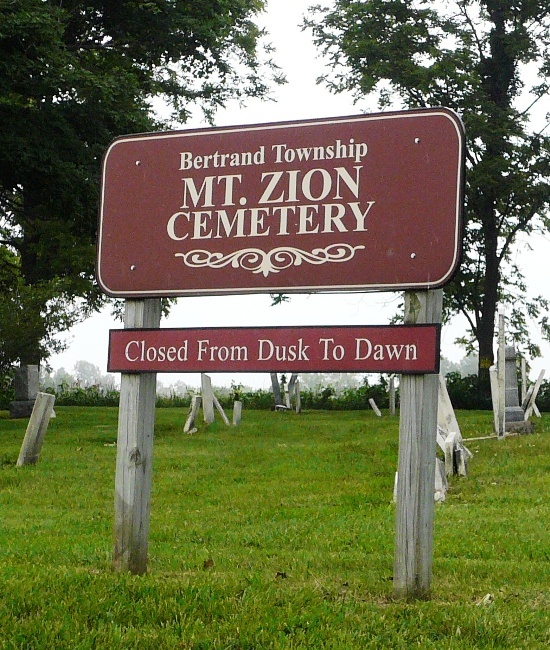
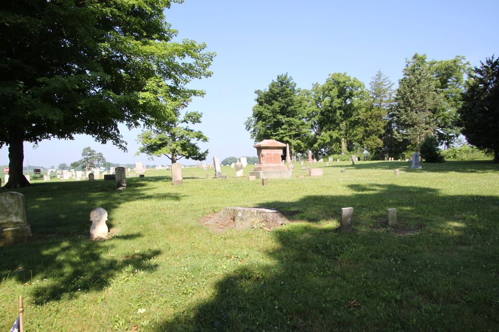
| Description | : | The cemetery is located in Bertrand Township on the northeast corner of the intersection of Dayton Road and Buffalo Road. The U.S. Geological Survey (USGS) Geographic Names Information System (GNIS) feature ID for the cemetery is 2374135 (Dayton Cemetery / Dayton Lake Cemetery / Mount Zion Cemetery). |
frequently asked questions (FAQ):
-
Where is Mount Zion Cemetery?
Mount Zion Cemetery is located at Dayton Road and Buffalo Road Dayton, Berrien County ,Michigan , 49107USA.
-
Mount Zion Cemetery cemetery's updated grave count on graveviews.com?
0 memorials
-
Where are the coordinates of the Mount Zion Cemetery?
Latitude: 41.7839210
Longitude: -86.4354520
Nearby Cemetories:
1. McGowan Cemetery
Bertrand, Berrien County, USA
Coordinate: 41.7863889, -86.4211111
2. Bakertown Cemetery
Buchanan, Berrien County, USA
Coordinate: 41.8125000, -86.3975000
3. Galien Township Cemetery
Galien, Berrien County, USA
Coordinate: 41.7975000, -86.4916660
4. Hamilton Church Cemetery
Hamilton, St. Joseph County, USA
Coordinate: 41.7344100, -86.4768200
5. Oak Ridge Cemetery
Buchanan, Berrien County, USA
Coordinate: 41.8244019, -86.3788986
6. Smith Property Cemetery
Galien, Berrien County, USA
Coordinate: 41.7987000, -86.5124800
7. Howe Cemetery
Buchanan, Berrien County, USA
Coordinate: 41.7977982, -86.3531036
8. Portage Prairie Cemetery
Buchanan, Berrien County, USA
Coordinate: 41.7836110, -86.3402770
9. Kathryn Park Cemetery
Buchanan, Berrien County, USA
Coordinate: 41.8308100, -86.3634230
10. Virginians Burying Ground
Buchanan, Berrien County, USA
Coordinate: 41.8373070, -86.3694077
11. Portage Prairie Cemetery
St. Joseph County, USA
Coordinate: 41.7516085, -86.3477750
12. Plainfield Cemetery
New Carlisle, St. Joseph County, USA
Coordinate: 41.7094100, -86.4758000
13. Benton Cemetery
Niles, Berrien County, USA
Coordinate: 41.8542190, -86.3501790
14. Orchard Hills Country Club Cemetery
Buchanan, Berrien County, USA
Coordinate: 41.8305477, -86.3222168
15. Sherwood Cemetery
Buchanan, Berrien County, USA
Coordinate: 41.8669440, -86.3636110
16. New Carlisle Cemetery
New Carlisle, St. Joseph County, USA
Coordinate: 41.7056999, -86.5244980
17. Maple Grove Cemetery
Hudson Lake, La Porte County, USA
Coordinate: 41.7535019, -86.5690994
18. Glendora Cemetery
Glendora, Berrien County, USA
Coordinate: 41.8786011, -86.4950027
19. Hudson Cemetery
Hudson Lake, La Porte County, USA
Coordinate: 41.7087100, -86.5343100
20. Harrah Road Cemetery
Niles, Berrien County, USA
Coordinate: 41.8425000, -86.3058333
21. Boyle Cemetery
Oronoko, Berrien County, USA
Coordinate: 41.9013889, -86.4527778
22. Shedd Cemetery
Three Oaks, Berrien County, USA
Coordinate: 41.7625008, -86.5914001
23. Colvin Cemetery
Buchanan, Berrien County, USA
Coordinate: 41.8986110, -86.3944440
24. Mount Pleasant Cemetery
South Bend, St. Joseph County, USA
Coordinate: 41.6937130, -86.3198700

