
| Memorials | : | 9 |
| Location | : | Cedar Grove, Hocking County, USA |
| Coordinate | : | 39.4218600, -82.2982800 |
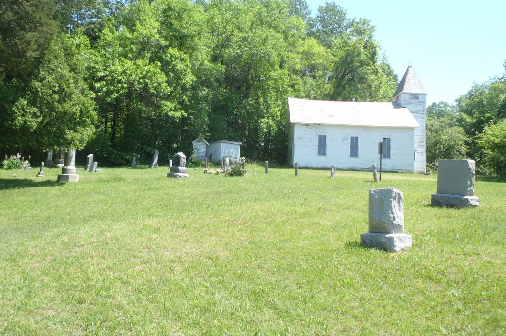
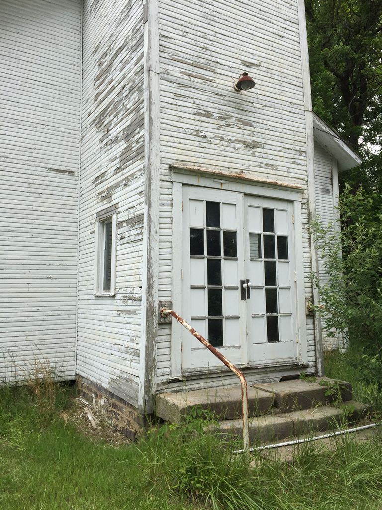
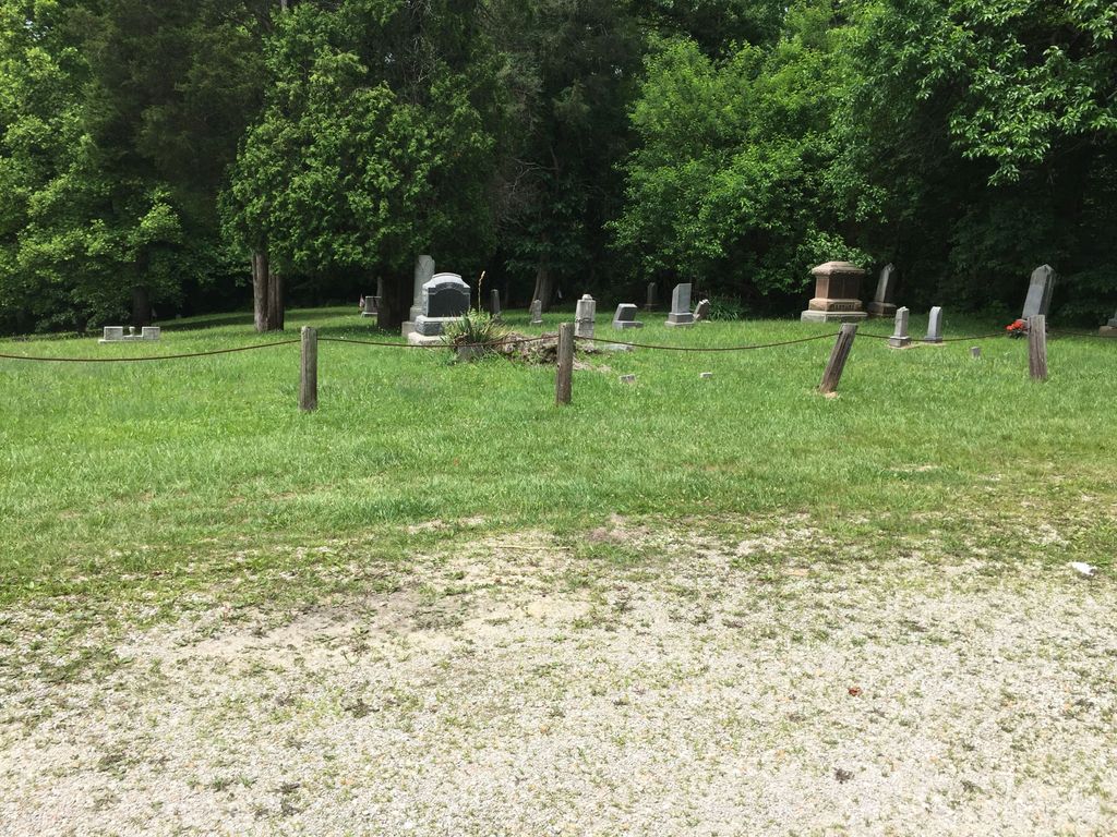
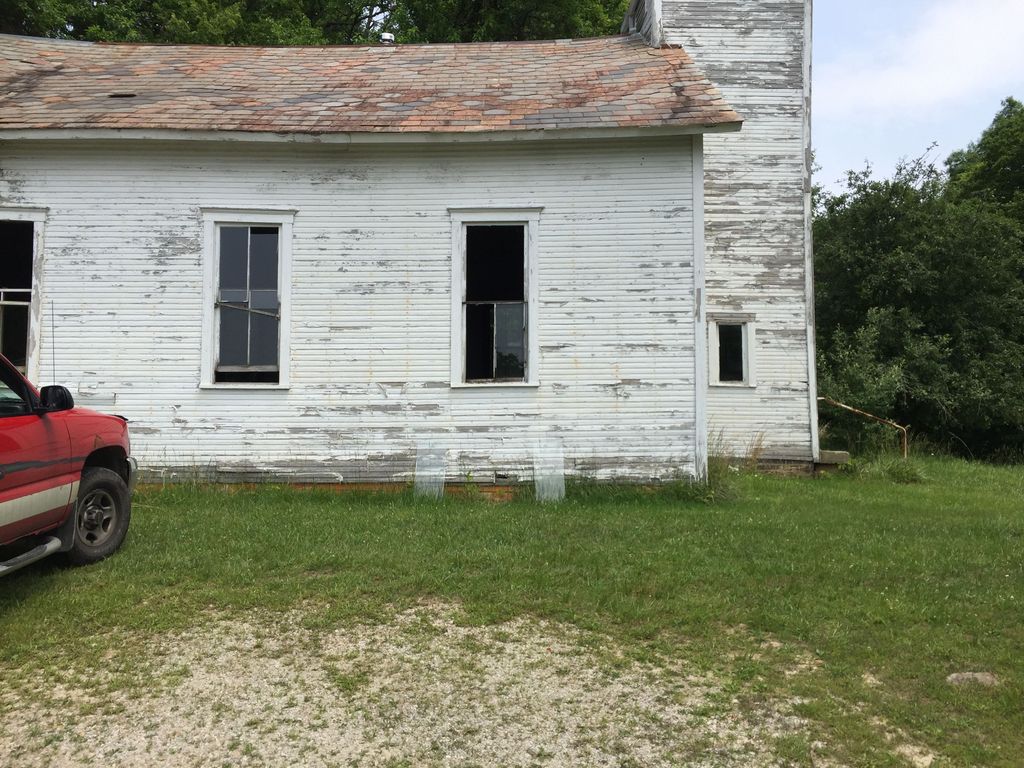
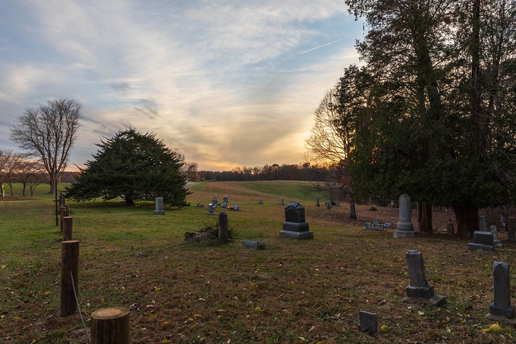
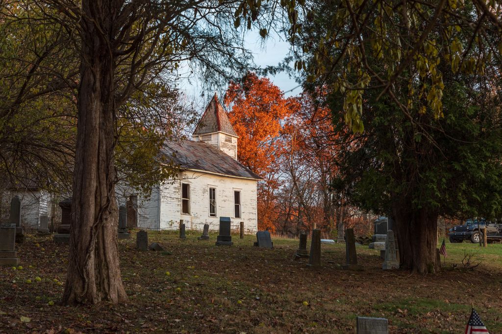
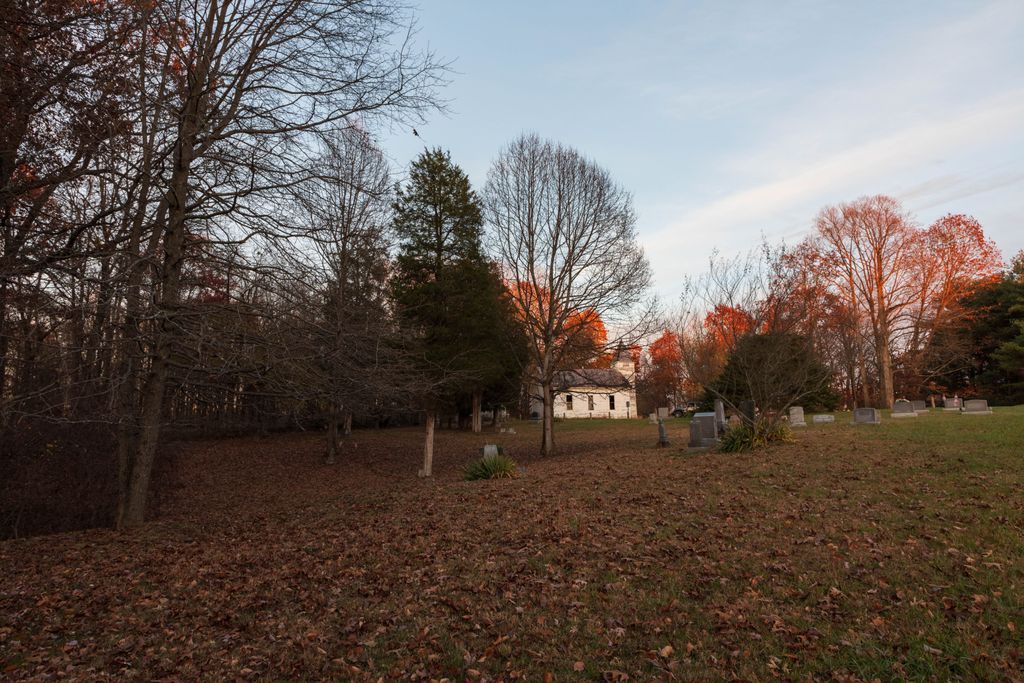
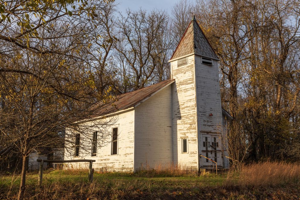
| Description | : | The cemetery is located on the west side of Ohio State Route 278 about 0.2 miles south of its intersection with White Road (Township Road 322). The cemetery is located in Laurel Township, Hocking County, Ohio, and is # 5466 (Mount Zion Church Cemetery) in “Ohio Cemeteries 1803-2003”, compiled by the Ohio Genealogical Society. The cemetery is registered with the Ohio Division of Real Estate and Professional Licensing (ODRE) as Mt. Zion with registration license number CGR.000982310. The U.S. Geological Survey (USGS) Geographic Names Information System (GNIS) feature ID for the cemetery is 1963591 (Mount Zion Cemetery). |
frequently asked questions (FAQ):
-
Where is Mount Zion Cemetery?
Mount Zion Cemetery is located at 20489 Ohio State Route 278 Cedar Grove, Hocking County ,Ohio , 45764USA.
-
Mount Zion Cemetery cemetery's updated grave count on graveviews.com?
9 memorials
-
Where are the coordinates of the Mount Zion Cemetery?
Latitude: 39.4218600
Longitude: -82.2982800

Nearby Cemetories:
1. Groves Cemetery
Starr Township, Hocking County, USA
Coordinate: 39.4178009, -82.3182983
2. Morris Chapel Cemetery
Starr, Hocking County, USA
Coordinate: 39.4186200, -82.3252900
3. Campbell-Craig Cemetery
Starr, Hocking County, USA
Coordinate: 39.3992660, -82.3027190
4. Asbury Methodist Church Cemetery
Starr, Hocking County, USA
Coordinate: 39.3917885, -82.3024979
5. Connett Cemetery
Connett, Athens County, USA
Coordinate: 39.4155998, -82.2566986
6. Morse-Lewis Cemetery
Starr Township, Hocking County, USA
Coordinate: 39.4019012, -82.3419037
7. Wolfe Cemetery
Haydenville, Hocking County, USA
Coordinate: 39.4711000, -82.3167000
8. Haydenville Cemetery
Green Township, Hocking County, USA
Coordinate: 39.4760600, -82.3204070
9. Starr Cemetery
Starr, Hocking County, USA
Coordinate: 39.3927994, -82.3664017
10. Matheny Cemetery
Nelsonville, Athens County, USA
Coordinate: 39.4080200, -82.2197200
11. Skinner Croy Cemetery
Logan, Hocking County, USA
Coordinate: 39.4669860, -82.3562190
12. Tick Ridge Cemetery
Starr, Hocking County, USA
Coordinate: 39.4258003, -82.3816986
13. Fort Street Cemetery
Nelsonville, Athens County, USA
Coordinate: 39.4627991, -82.2328033
14. Brooks Cemetery
Waterloo Township, Athens County, USA
Coordinate: 39.3555984, -82.2502975
15. Armstrong Cemetery
Union Furnace, Hocking County, USA
Coordinate: 39.4478330, -82.3925250
16. Greenlawn Cemetery
Nelsonville, Athens County, USA
Coordinate: 39.4317017, -82.1924973
17. Judd Cemetery
Athens County, USA
Coordinate: 39.3396988, -82.2817001
18. Hewitt Cemetery
Athens County, USA
Coordinate: 39.3488998, -82.2453003
19. Carter Cemetery
Athens County, USA
Coordinate: 39.3732986, -82.2074966
20. Hocking Hills Mennonite Church Cemetery
Logan, Hocking County, USA
Coordinate: 39.5066300, -82.3139830
21. New Plymouth Cemetery
New Plymouth, Vinton County, USA
Coordinate: 39.3899100, -82.4029800
22. Meldrim Cemetery
Logan, Hocking County, USA
Coordinate: 39.4488983, -82.4056015
23. Dew Cemetery
Nelsonville, Athens County, USA
Coordinate: 39.4678001, -82.1983032
24. Conner Cemetery
Ward Township, Hocking County, USA
Coordinate: 39.4682740, -82.1985010