
| Memorials | : | 13 |
| Location | : | Haydenville, Hocking County, USA |
| Coordinate | : | 39.4711000, -82.3167000 |
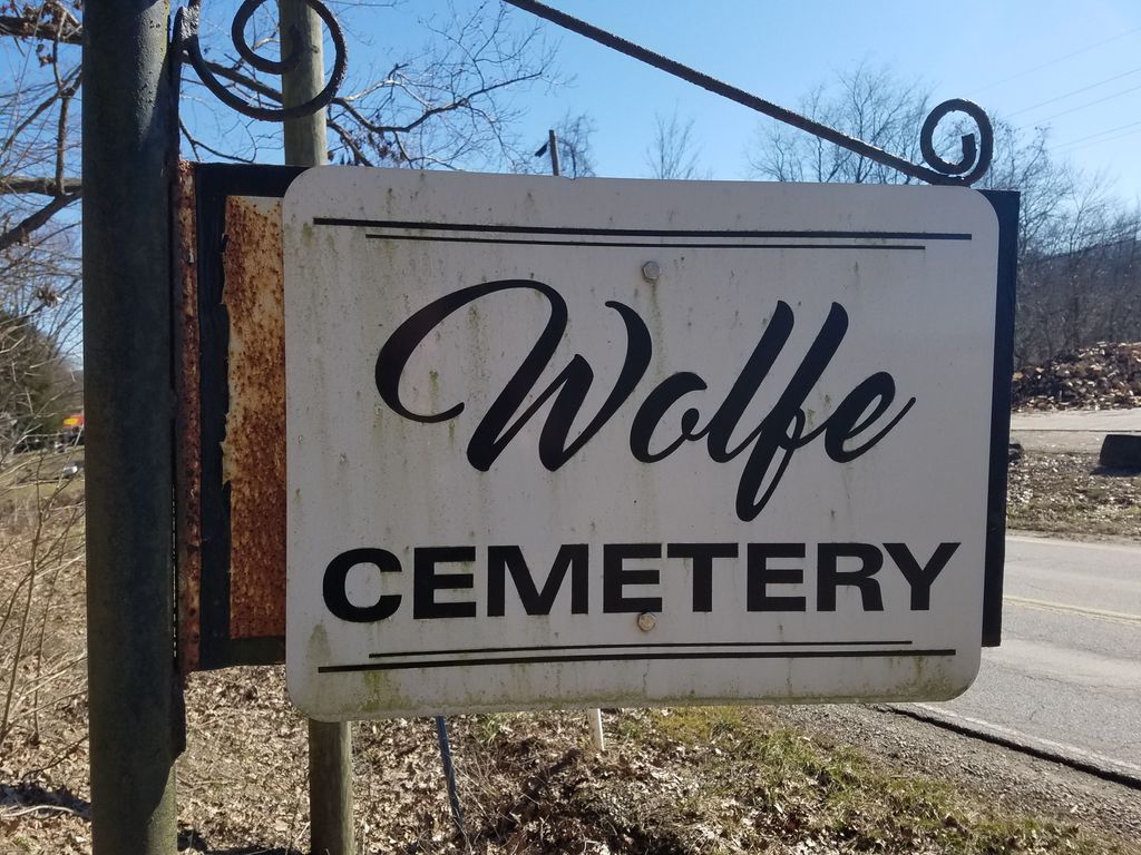
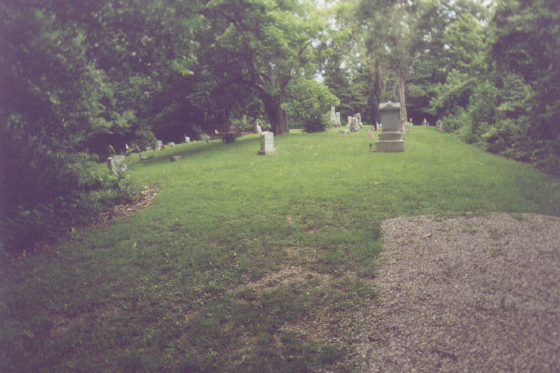
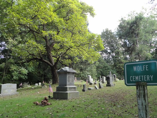
| Description | : | The cemetery is located on the northeast side of Haydenville Road (County Road 25) about 0.7 miles of its intersection with Wandling Road (Township Road 355). The cemetery is located in Starr Township, Hocking County, Ohio, and is # 5471 (Wolf Cemetery) in “Ohio Cemeteries 1803-2003”, compiled by the Ohio Genealogical Society. The U.S. Geological Survey (USGS) Geographic Names Information System (GNIS) feature ID for the cemetery is 1048031 (Wolf Cemetery). |
frequently asked questions (FAQ):
-
Where is Wolfe Cemetery?
Wolfe Cemetery is located at Haydenville Road (County Road 25) Haydenville, Hocking County ,Ohio , 45764USA.
-
Wolfe Cemetery cemetery's updated grave count on graveviews.com?
13 memorials
-
Where are the coordinates of the Wolfe Cemetery?
Latitude: 39.4711000
Longitude: -82.3167000
Nearby Cemetories:
1. Haydenville Cemetery
Green Township, Hocking County, USA
Coordinate: 39.4760600, -82.3204070
2. Skinner Croy Cemetery
Logan, Hocking County, USA
Coordinate: 39.4669860, -82.3562190
3. Hocking Hills Mennonite Church Cemetery
Logan, Hocking County, USA
Coordinate: 39.5066300, -82.3139830
4. Ebenezer Methodist Church Cemetery
Hocking County, USA
Coordinate: 39.5146408, -82.2926865
5. Davis Chapel Cemetery
Green Township, Hocking County, USA
Coordinate: 39.5191020, -82.3150930
6. Mount Zion Cemetery
Cedar Grove, Hocking County, USA
Coordinate: 39.4218600, -82.2982800
7. Morris Chapel Cemetery
Starr, Hocking County, USA
Coordinate: 39.4186200, -82.3252900
8. Groves Cemetery
Starr Township, Hocking County, USA
Coordinate: 39.4178009, -82.3182983
9. Miller Chapel Cemetery
Green Township, Hocking County, USA
Coordinate: 39.4832260, -82.3843620
10. Hocking County Home Cemetery
Green Township, Hocking County, USA
Coordinate: 39.5041920, -82.3717820
11. Armstrong Cemetery
Union Furnace, Hocking County, USA
Coordinate: 39.4478330, -82.3925250
12. Fort Street Cemetery
Nelsonville, Athens County, USA
Coordinate: 39.4627991, -82.2328033
13. Smith Chapel Cemetery
Logan, Hocking County, USA
Coordinate: 39.5244930, -82.3687340
14. Green Township Cemetery
Green Township, Hocking County, USA
Coordinate: 39.5248940, -82.3696290
15. Carbon Hill Cemetery
Carbon Hill, Hocking County, USA
Coordinate: 39.4986000, -82.2367020
16. Tick Ridge Cemetery
Starr, Hocking County, USA
Coordinate: 39.4258003, -82.3816986
17. Morse-Lewis Cemetery
Starr Township, Hocking County, USA
Coordinate: 39.4019012, -82.3419037
18. Meldrim Cemetery
Logan, Hocking County, USA
Coordinate: 39.4488983, -82.4056015
19. Connett Cemetery
Connett, Athens County, USA
Coordinate: 39.4155998, -82.2566986
20. Campbell-Craig Cemetery
Starr, Hocking County, USA
Coordinate: 39.3992660, -82.3027190
21. Shaw Cemetery
Logan, Hocking County, USA
Coordinate: 39.5060997, -82.4057999
22. Asbury Methodist Church Cemetery
Starr, Hocking County, USA
Coordinate: 39.3917885, -82.3024979
23. Dawley-Downhour Cemetery
Ward Township, Hocking County, USA
Coordinate: 39.5372009, -82.2564011
24. Fellowship United Methodist Cemetery
Maysville, Hocking County, USA
Coordinate: 39.5550600, -82.3307000