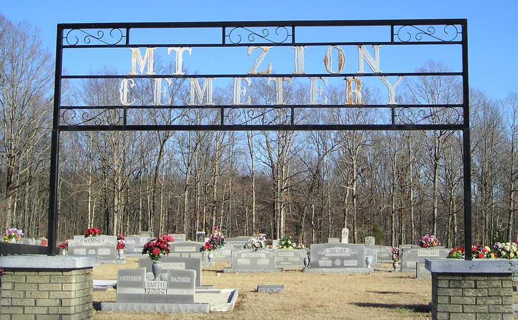
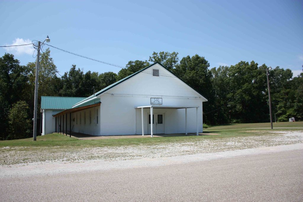
| Memorials | : | 355 |
| Location | : | Decaturville, Decatur County, USA |
| Coordinate | : | 35.5583800, -88.2029190 |
| Description | : | This cemetery is located at the intersection of Mt. Zion Rd & Champbell Rd., 1.1 miles north of highway 100 via Campbell Rd., near the Henderson County line. It is indicated on the U.S.G.S. Scotts Hill quadrangle (1986). David Donahue recorded this cemetery in late 1990; updated it in 1994; and checked and updated in 2002. Alexander and Tuten recorded this cemetery October 27, 1976. |
frequently asked questions (FAQ):
-
Where is Mount Zion Church Cemetery?
Mount Zion Church Cemetery is located at 2028 Mt Zion Road Decaturville, Decatur County ,Tennessee , 38329USA.
-
Mount Zion Church Cemetery cemetery's updated grave count on graveviews.com?
354 memorials
-
Where are the coordinates of the Mount Zion Church Cemetery?
Latitude: 35.5583800
Longitude: -88.2029190
Nearby Cemetories:
1. Rushing Grove Church Cemetery
Decaturville, Decatur County, USA
Coordinate: 35.5673300, -88.1909020
2. Smith Chapel Cemetery
Middleburg, Henderson County, USA
Coordinate: 35.5727500, -88.2203500
3. Harrington Cemetery
Decaturville, Decatur County, USA
Coordinate: 35.5706580, -88.1788700
4. Pratt Cemetery
Decaturville, Decatur County, USA
Coordinate: 35.5403540, -88.2231060
5. Morgan Family Cemetery
Decaturville, Decatur County, USA
Coordinate: 35.5343740, -88.1975940
6. Davis Cemetery
Decatur County, USA
Coordinate: 35.5374985, -88.1800003
7. Hensley Cemetery
Henderson County, USA
Coordinate: 35.5861015, -88.2161026
8. Flat Creek Cemetery
Scotts Hill, Decatur County, USA
Coordinate: 35.5450790, -88.2404150
9. Newsom Family Cemetery
Henderson County, USA
Coordinate: 35.5948410, -88.2104270
10. Chumney Cemetery
Scotts Hill, Henderson County, USA
Coordinate: 35.5423140, -88.2460590
11. Presley Cemetery
Darden, Henderson County, USA
Coordinate: 35.5928120, -88.2259270
12. Peace Chapel Cemetery
Scotts Hill, Decatur County, USA
Coordinate: 35.5214060, -88.2206280
13. Crowell Chapel Cemetery
Henderson County, USA
Coordinate: 35.5952860, -88.2318640
14. Crawford Cemetery
Scotts Hill, Decatur County, USA
Coordinate: 35.5141550, -88.1882830
15. Martin Family Cemetery
Decaturville, Decatur County, USA
Coordinate: 35.5139160, -88.1882440
16. New Hope Baptist Church Cemetery
Decaturville, Decatur County, USA
Coordinate: 35.5992640, -88.1768180
17. Averett Cemetery
Decatur County, USA
Coordinate: 35.5247002, -88.1594009
18. Camp Ground Cemetery
Decaturville, Decatur County, USA
Coordinate: 35.5955700, -88.1625440
19. Yarbro Cemetery
Decaturville, Decatur County, USA
Coordinate: 35.5807900, -88.1483890
20. Brigance Cemetery
Decaturville, Decatur County, USA
Coordinate: 35.5355560, -88.1480280
21. Pafford - Scotts Hill Cemetery
Scotts Hill, Henderson County, USA
Coordinate: 35.5265450, -88.2515290
22. Decatur County Farm Cemetery
Scotts Hill, Decatur County, USA
Coordinate: 35.5078697, -88.1940994
23. Powers Cemetery
Scotts Hill, Henderson County, USA
Coordinate: 35.5830370, -88.2599740
24. Oak Grove Methodist Church Cemetery
Middleburg, Henderson County, USA
Coordinate: 35.5922290, -88.2527470


