
| Memorials | : | 70 |
| Location | : | Scotts Hill, Decatur County, USA |
| Coordinate | : | 35.5214060, -88.2206280 |
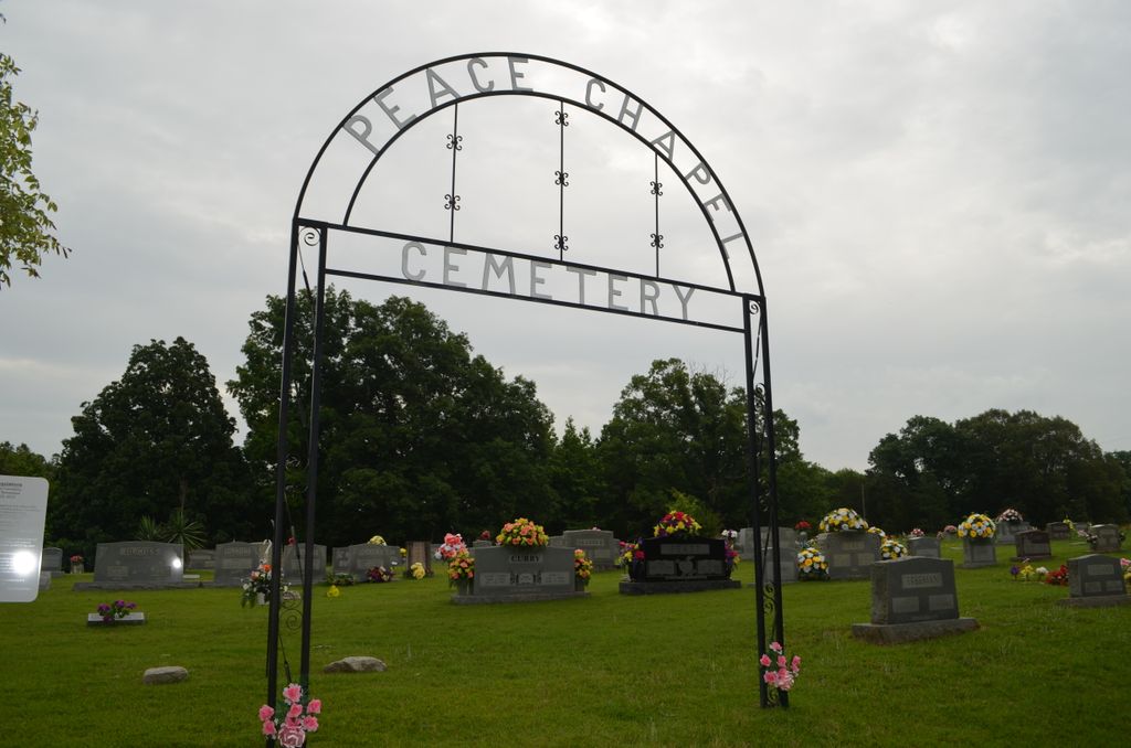
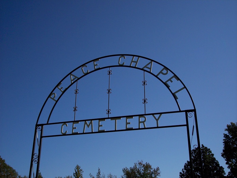
| Description | : | This cemetery is located on the old Decaturville-Scotts Hill Road (now called Peace Chapel Road) about two miles east of Scotts Hill. It is indicated on the U.S.G.S. Scotts Hill quadrangle (1972). The cemetery is a well maintained. David Donahue recorded this cemetery January 19, 1992 and checked and updated it January 9, 2002. The cemetery was recorded by Alexander and Tuten in 1977. Alexander and Tuten estimate "at least 100 unmarked graves." There is no particular evidence for these unmarked graves today as all fieldstones have been removed, and some areas, particularly near the church, are being reused. |
frequently asked questions (FAQ):
-
Where is Peace Chapel Cemetery?
Peace Chapel Cemetery is located at 1426 Peace Chapel Road Scotts Hill, Decatur County ,Tennessee , 38329USA.
-
Peace Chapel Cemetery cemetery's updated grave count on graveviews.com?
70 memorials
-
Where are the coordinates of the Peace Chapel Cemetery?
Latitude: 35.5214060
Longitude: -88.2206280
Nearby Cemetories:
1. Scotts Hill Pentecostal Church Cemetery
Scotts Hill, Decatur County, USA
Coordinate: 35.5065610, -88.2336080
2. Pratt Cemetery
Decaturville, Decatur County, USA
Coordinate: 35.5403540, -88.2231060
3. Scotts Hill Church Cemetery
Scotts Hill, Henderson County, USA
Coordinate: 35.5189480, -88.2463960
4. Morgan Family Cemetery
Decaturville, Decatur County, USA
Coordinate: 35.5343740, -88.1975940
5. Grandsire Holmes Cemetery
Scotts Hill, Henderson County, USA
Coordinate: 35.5140820, -88.2483620
6. Decatur County Farm Cemetery
Scotts Hill, Decatur County, USA
Coordinate: 35.5078697, -88.1940994
7. Pafford - Scotts Hill Cemetery
Scotts Hill, Henderson County, USA
Coordinate: 35.5265450, -88.2515290
8. Bethel Cemetery
Scotts Hill, Decatur County, USA
Coordinate: 35.4963690, -88.2320790
9. Crawford Cemetery
Scotts Hill, Decatur County, USA
Coordinate: 35.5141550, -88.1882830
10. Martin Family Cemetery
Decaturville, Decatur County, USA
Coordinate: 35.5139160, -88.1882440
11. Flat Creek Cemetery
Scotts Hill, Decatur County, USA
Coordinate: 35.5450790, -88.2404150
12. Chumney Cemetery
Scotts Hill, Henderson County, USA
Coordinate: 35.5423140, -88.2460590
13. Davis Cemetery
Decatur County, USA
Coordinate: 35.5374985, -88.1800003
14. Mount Zion Church Cemetery
Decaturville, Decatur County, USA
Coordinate: 35.5583800, -88.2029190
15. Fellowship Church Cemetery
Scotts Hill, Henderson County, USA
Coordinate: 35.4965940, -88.2602540
16. Murphy Cemetery
Lick Skillet, Decatur County, USA
Coordinate: 35.4806930, -88.1983720
17. Averett Cemetery
Decatur County, USA
Coordinate: 35.5247002, -88.1594009
18. Granny Austin Cemetery
Scotts Hill, Henderson County, USA
Coordinate: 35.4949850, -88.2734300
19. Smith Chapel Cemetery
Middleburg, Henderson County, USA
Coordinate: 35.5727500, -88.2203500
20. Rushing Grove Church Cemetery
Decaturville, Decatur County, USA
Coordinate: 35.5673300, -88.1909020
21. Gray's Chapel Cemetery
Decaturville, Decatur County, USA
Coordinate: 35.5019030, -88.1590860
22. Cedar Grove Pentecostal Cemetery
Sardis, Henderson County, USA
Coordinate: 35.4829530, -88.2698440
23. Doe Creek Cemetery
Scotts Hill, Henderson County, USA
Coordinate: 35.4692990, -88.2474350
24. Cedar Grove Cemetery
Henderson County, USA
Coordinate: 35.4799600, -88.2678900