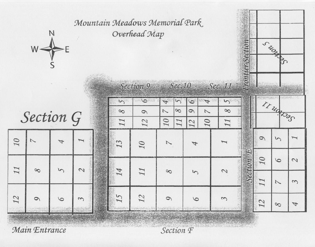
| Memorials | : | 10 |
| Location | : | Payson, Gila County, USA |
| Coordinate | : | 34.1941986, -111.3153000 |
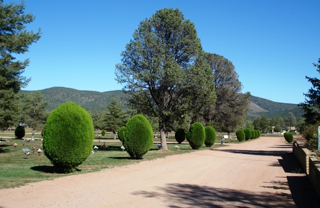
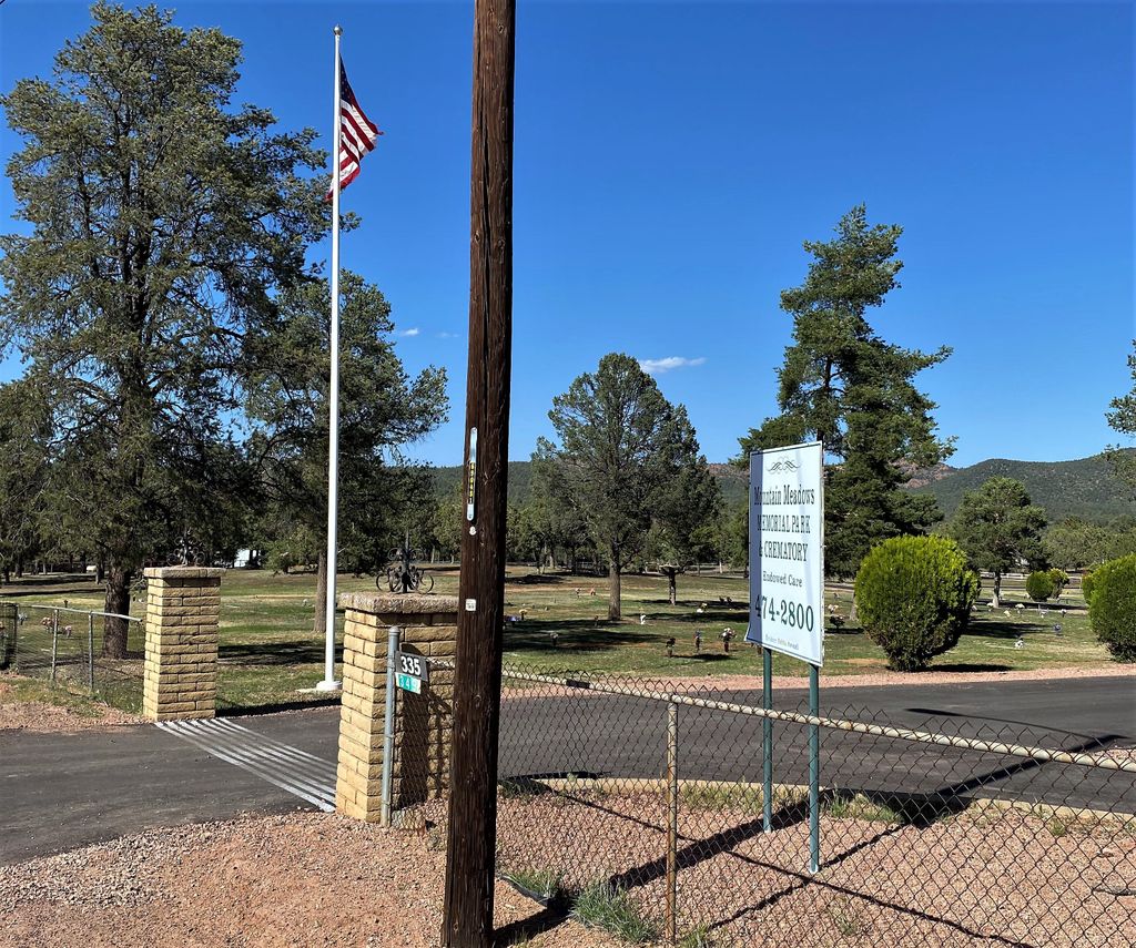
| Description | : | Directions: Travel two miles south of Mile Marker 251 on Highway 87 (South edge of town of Payson, AZ & location of the Mazatzal Casino, has a cross-street w/stoplight) to Mile Marker 249, turn left, crossing North-bound lane of Highway 87, onto Gibson Ranch Road for 0.5 miles, turn right just after Mountain Meadows Memorial Gardens sign onto Round Valley Road. In 0.5 miles Round Valley Road makes a 90° left jog, continue 0.6 miles, paving ends at the entrance to Mountain Meadows Memorial Gardens, marked with a large sign. |
frequently asked questions (FAQ):
-
Where is Mountain Meadows Memorial Park and Crematory?
Mountain Meadows Memorial Park and Crematory is located at 335 W Round Valley Rd Payson, Gila County ,Arizona , 85541USA.
-
Mountain Meadows Memorial Park and Crematory cemetery's updated grave count on graveviews.com?
9 memorials
-
Where are the coordinates of the Mountain Meadows Memorial Park and Crematory?
Latitude: 34.1941986
Longitude: -111.3153000
Nearby Cemetories:
1. Payson Pioneer Cemetery
Payson, Gila County, USA
Coordinate: 34.2352660, -111.3560490
2. Gisela Cemetery
Gisela, Gila County, USA
Coordinate: 34.1010017, -111.2789993
3. Brown Family Cemetery
Rye, Gila County, USA
Coordinate: 34.0862740, -111.3496390
4. Haught Ranch Pioneer Cemetery
Rye, Gila County, USA
Coordinate: 34.0712090, -111.2155533
5. Davey Gowan Burial Site
Rye, Gila County, USA
Coordinate: 34.0488536, -111.4082711
6. Pine Cemetery
Pine, Gila County, USA
Coordinate: 34.3862470, -111.4509130
7. Tonto Basin Cemetery
Jakes Corner, Gila County, USA
Coordinate: 33.9468290, -111.3192260
8. Andres Moreno Gravesite
Coconino County, USA
Coordinate: 34.4524490, -111.3823150
9. Strawberry Old Cemetery
Strawberry, Gila County, USA
Coordinate: 34.4061300, -111.5194900
10. Packard Graves Site
Punkin Center, Gila County, USA
Coordinate: 33.8765870, -111.3029640
11. Navajo Sheepherder Gravesite
Young, Gila County, USA
Coordinate: 34.1498010, -110.9328620
12. Gordon Canyon Cemetery
Gila County, USA
Coordinate: 34.2816100, -110.9177600
13. Big Dry Wash Battlefield
Coconino County, USA
Coordinate: 34.5461230, -111.2206610
14. Cline Family Cemetery
Punkin Center, Gila County, USA
Coordinate: 33.8337400, -111.2815200
15. Tewksbury-Jacobs Gravesite
Young, Gila County, USA
Coordinate: 34.0494330, -110.8987417
16. Q Ranch Historic Cemetery
Young, Gila County, USA
Coordinate: 34.1024990, -110.8104400
17. J Redman Gravesite
Young, Gila County, USA
Coordinate: 34.1866200, -110.7836400
18. Bacon Family Cemetery
Roosevelt, Gila County, USA
Coordinate: 33.7327300, -111.1068900
19. Hangman Trail Burial Ground
Heber, Navajo County, USA
Coordinate: 34.3056700, -110.7333300
20. Squaw Peak Cemetery
Camp Verde, Yavapai County, USA
Coordinate: 34.4957600, -111.8319900
21. Baca Family Cemetery
Heber, Navajo County, USA
Coordinate: 34.3229000, -110.6864700
22. Clear Creek Cemetery
Camp Verde, Yavapai County, USA
Coordinate: 34.5261002, -111.8272018
23. Historic Roosevelt Cemetery
Roosevelt, Gila County, USA
Coordinate: 33.6662010, -111.1369520
24. Windy Hill Burial Grounds
Roosevelt, Gila County, USA
Coordinate: 33.6691000, -111.0880000


