
| Memorials | : | 47 |
| Location | : | Deming, Luna County, USA |
| Coordinate | : | 32.2677994, -107.7193985 |
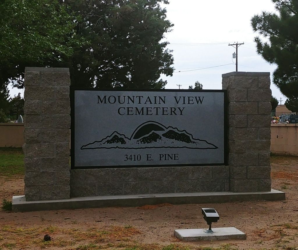
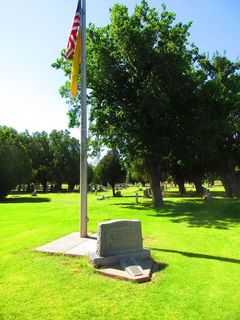
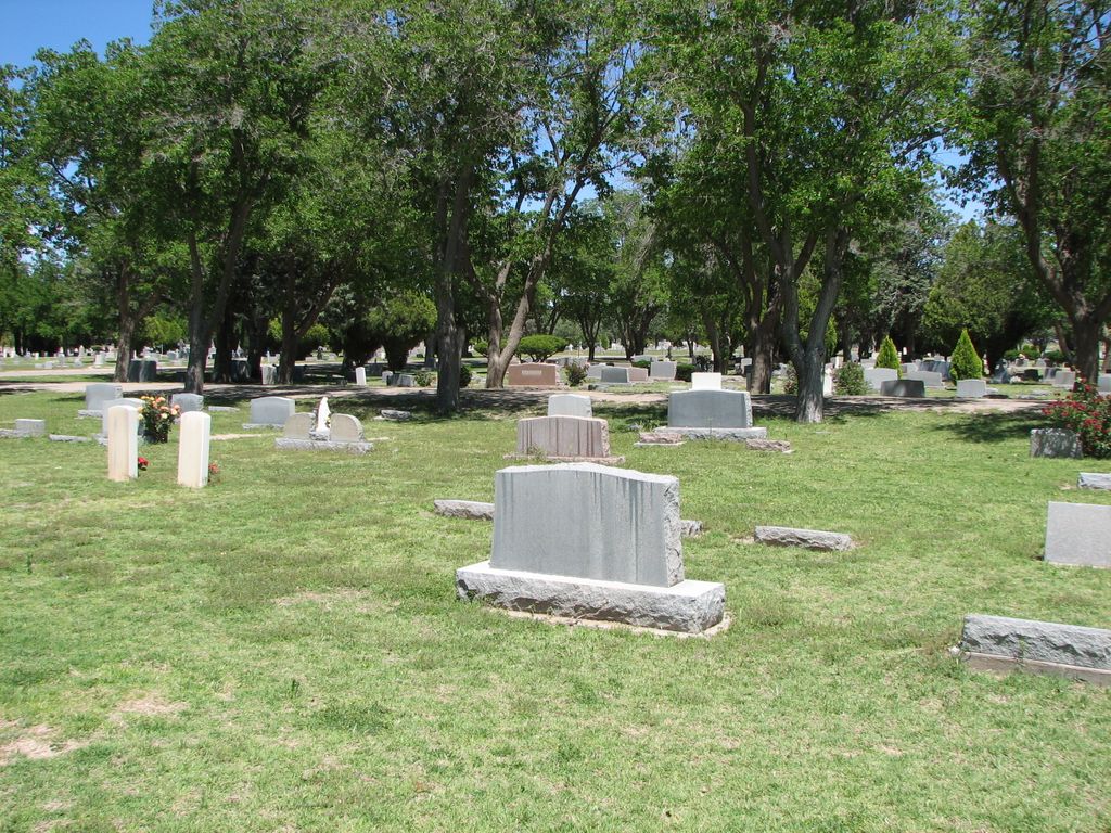
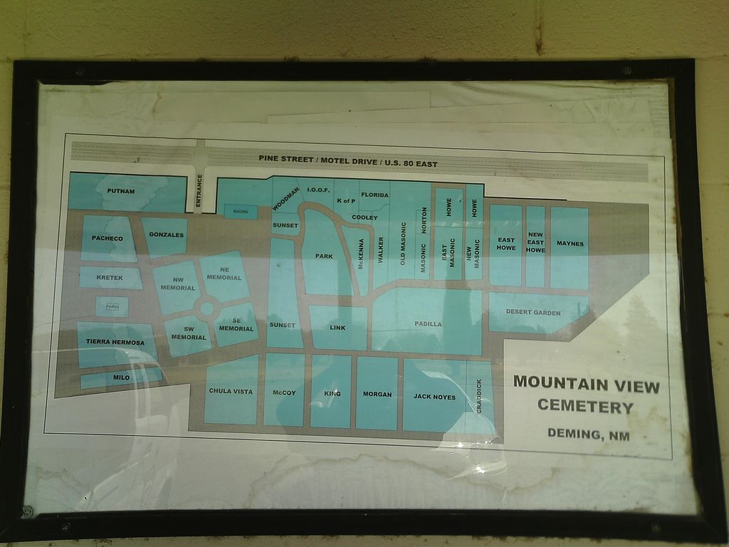
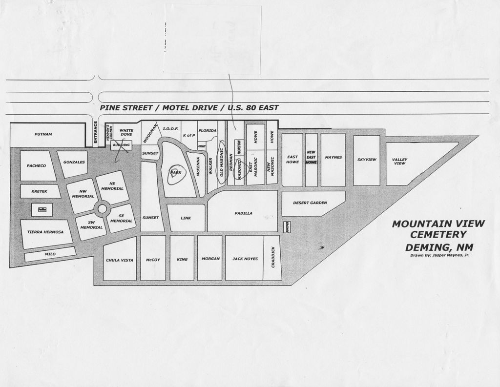
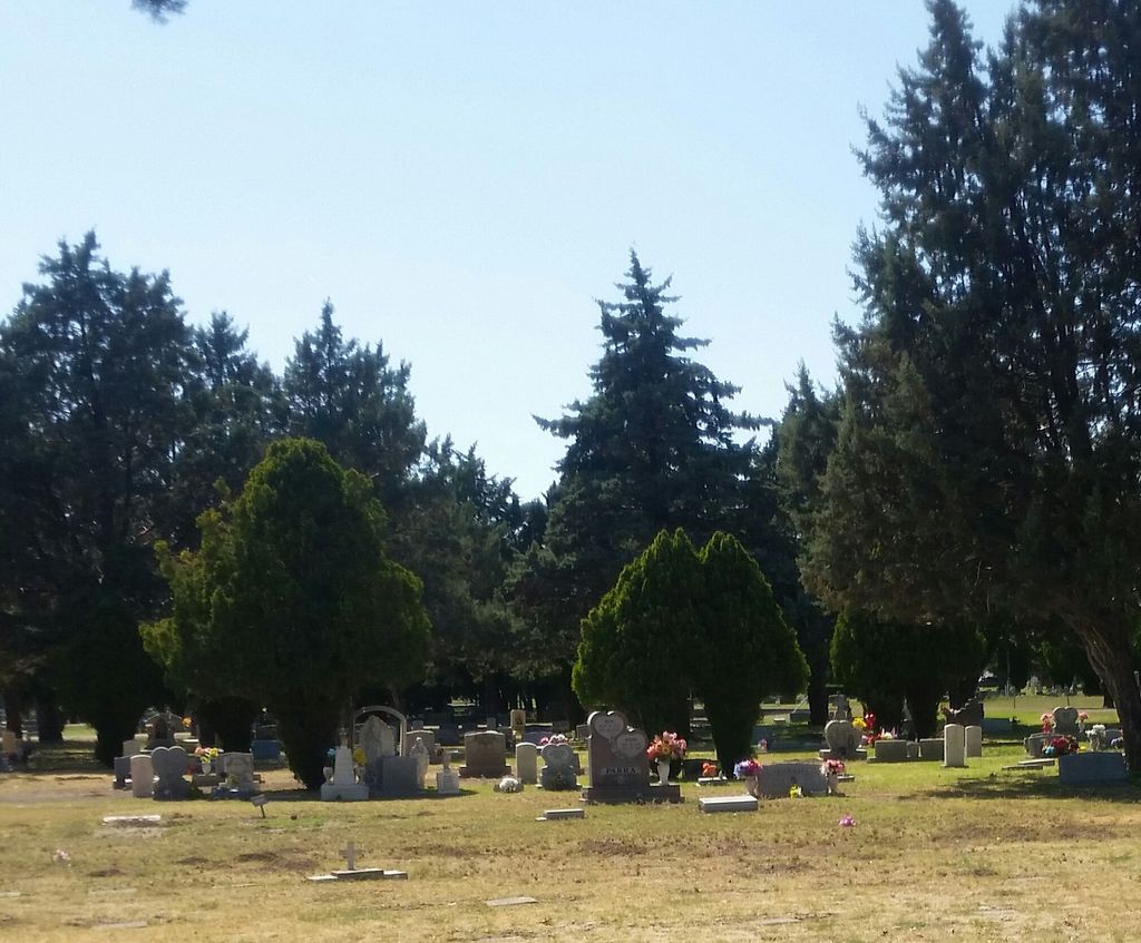
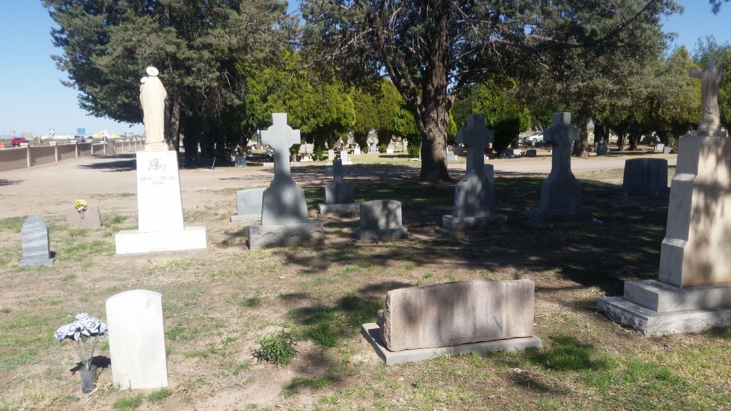
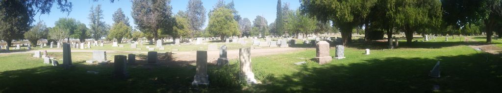
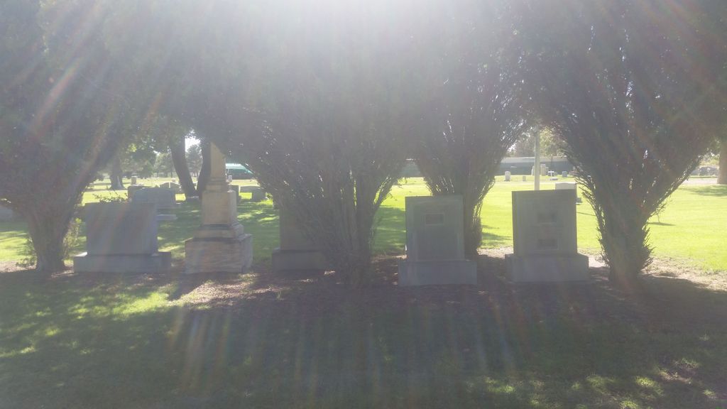
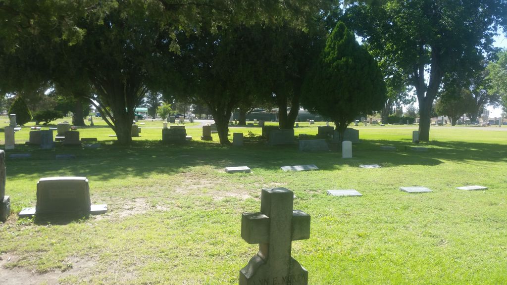
| Description | : | Mountain view Cemetery is the Main Cemetery of The City of Deming & Luna County, New Mexico with over 11,000 gravesites. Several older Cemeteries were excavated & the graves interred within them were re-located here. Several sections within the Cemetery are exclusively Categorized for Class, Ethnicty & Age such as Craddick, Sunset, Woodmen of the World, I.O.O.F., Masonic, Howe, Padilla, Knights of Pythias, Link, McKenna & Skyview . Cremains Memorials are located within the directions plots directly through gates surrounding the large statues. Cemetery Section Abbreviations provided by Janet Partridge transcribed & edited by Jay Hughey: CHV = Chulva Vista... Read More |
frequently asked questions (FAQ):
-
Where is Mountain View Cemetery?
Mountain View Cemetery is located at Deming, Luna County ,New Mexico , 88030USA.
-
Mountain View Cemetery cemetery's updated grave count on graveviews.com?
45 memorials
-
Where are the coordinates of the Mountain View Cemetery?
Latitude: 32.2677994
Longitude: -107.7193985
Nearby Cemetories:
1. Louise Coffman Memorial Park
Deming, Luna County, USA
Coordinate: 32.2524000, -107.7145000
2. Desert Lawn Memorial Gardens
Deming, Luna County, USA
Coordinate: 32.3084000, -107.7818000
3. Holy Cross Cemetery
Luna County, USA
Coordinate: 32.2789001, -107.8056030
4. Lewis Flats Cemetery
Deming, Luna County, USA
Coordinate: 32.2313995, -107.5710983
5. Fort Cummings Cemetery
Luna County, USA
Coordinate: 32.4618988, -107.6391983
6. Carroll Cemetery
Luna County, USA
Coordinate: 32.0522003, -107.8855972
7. Cooks Peak Cemetery
Luna County, USA
Coordinate: 32.5564003, -107.7181015
8. Foster Cemetery
Luna County, USA
Coordinate: 32.5862410, -107.9062660
9. Coleson's Crossing Cemetery
Dwyer, Grant County, USA
Coordinate: 32.5682540, -107.9522090
10. Dwyer Cemetery
Dwyer, Grant County, USA
Coordinate: 32.6231600, -107.8792400
11. Valley Heights Cemetery
Columbus, Luna County, USA
Coordinate: 31.8365820, -107.6624970
12. Lake Valley Cemetery
Lake Valley, Sierra County, USA
Coordinate: 32.7132988, -107.5640030
13. Nunn Ranch Cemetery
Sierra County, USA
Coordinate: 32.7410000, -107.6133000
14. Perrault Ranch Cemetery
Sherman, Grant County, USA
Coordinate: 32.7493770, -107.8935000
15. Panteón de Puerto Palomas
Puerto Palomas, Ascensión Municipality, Mexico
Coordinate: 31.7635810, -107.6276950
16. San Juan Catholic Cemetery
Grant County, USA
Coordinate: 32.7647705, -107.9098969
17. Victorio Cemetery
Luna County, USA
Coordinate: 31.8511500, -108.1384000
18. Hurley Cemetery
Hurley, Grant County, USA
Coordinate: 32.6885986, -108.1363983
19. San Lorenzo Cemetery
San Lorenzo, Grant County, USA
Coordinate: 32.7910270, -107.9205040
20. Tierra Blanca Cemetery
Sierra County, USA
Coordinate: 32.8408000, -107.6540000
21. Bayard Cemetery
Bayard, Grant County, USA
Coordinate: 32.7403620, -108.1326270
22. Garden of Memories
Hatch, Doña Ana County, USA
Coordinate: 32.6539001, -107.1847000
23. Gustava Glaze Gravesite
Grant County, USA
Coordinate: 32.5309240, -108.3568690
24. Placitas Hill Cemetery
Placitas, Doña Ana County, USA
Coordinate: 32.6646900, -107.1748700