| Memorials | : | 41 |
| Location | : | Beaumont, Riverside County, USA |
| Phone | : | (951) 845-3303 |
| Website | : | mtviewsummit.cemsites.com/ |
| Coordinate | : | 33.9435997, -116.9800034 |
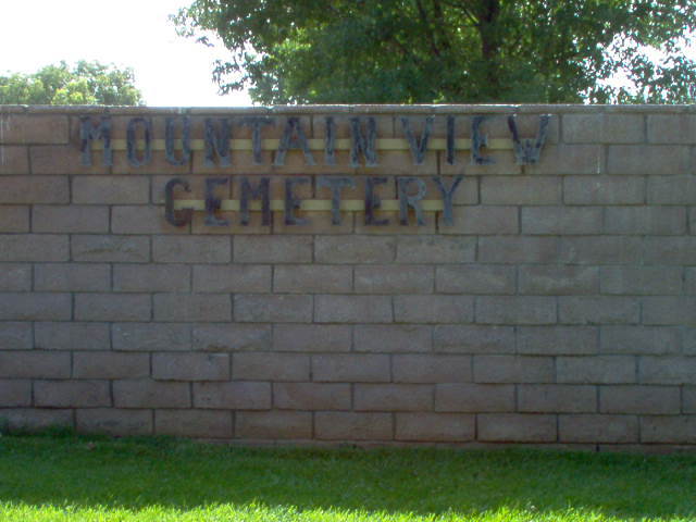
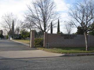
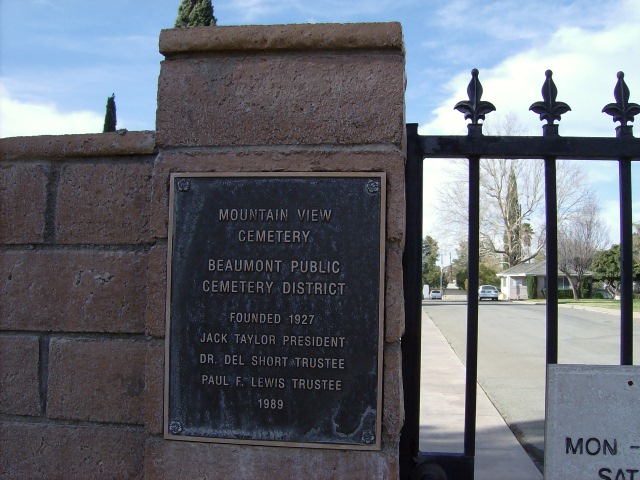
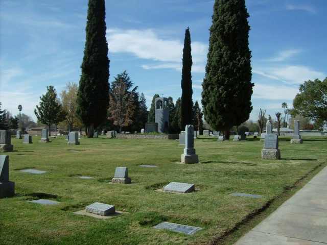
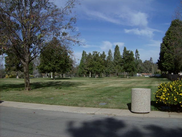
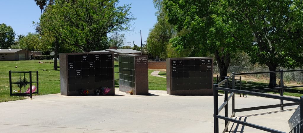
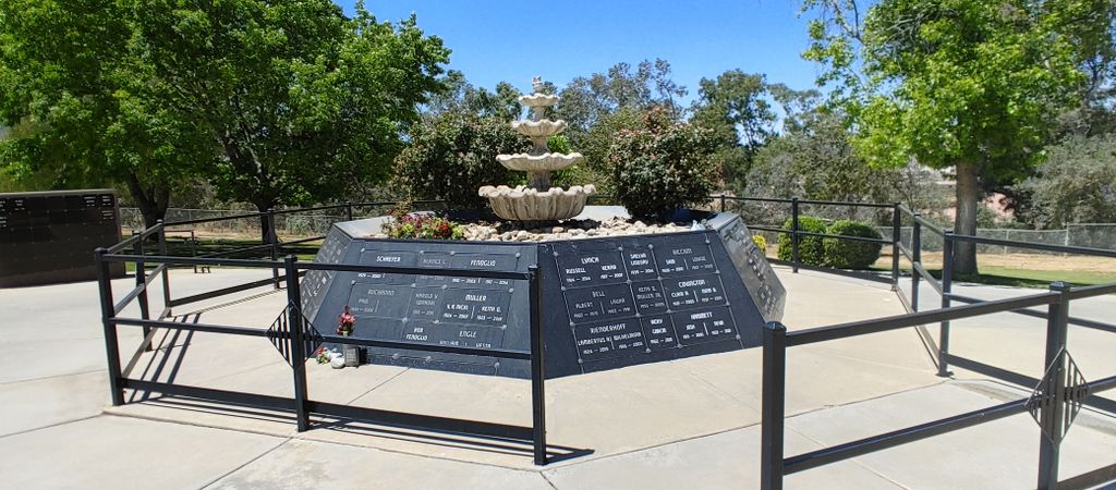
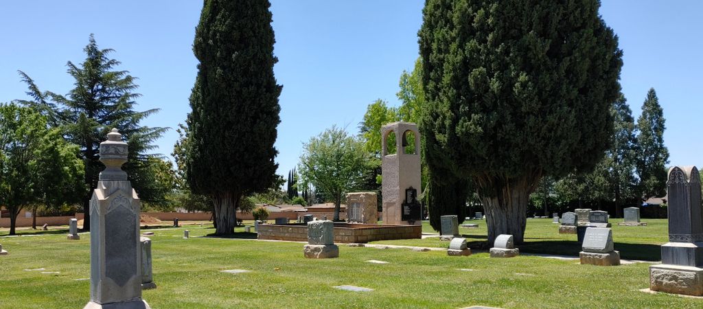
| Description | : | It began as a family cemetery. The first known burial was in 1843. In 1888 the Osburn family donated the three acre cemetery to the City of Beaumont. In 1921, Beaumont Public Cemetery was formed. Currently the cemetery comprises 10.7 acres, the last of which was donated by the Carl Mellor family. The latest addition to the grounds is a beautiful fountain niche for those desiring inurnment. It also boasts a bell tower which provides bells and music for visitors, as well as the surrounding community. The beautiful park-like setting lies within the City of Beaumont. Mt. View Cemetery Office... Read More |
frequently asked questions (FAQ):
-
Where is Mountain View Cemetery?
Mountain View Cemetery is located at 1315 Edgar Avenue Beaumont, Riverside County ,California , 92223USA.
-
Mountain View Cemetery cemetery's updated grave count on graveviews.com?
40 memorials
-
Where are the coordinates of the Mountain View Cemetery?
Latitude: 33.9435997
Longitude: -116.9800034
Nearby Cemetories:
1. Saint Stephens Episcopal Church Memorial Garden
Beaumont, Riverside County, USA
Coordinate: 33.9322860, -116.9795610
2. Stewart Sunnyslope Cemetery
Beaumont, Riverside County, USA
Coordinate: 33.9196570, -116.9651700
3. Desert Lawn Memorial Park
Calimesa, Riverside County, USA
Coordinate: 33.9566994, -117.0203018
4. Saint Boniface Indian School Cemetery
Banning, Riverside County, USA
Coordinate: 33.9383488, -116.8886330
5. San Gorgonio Memorial Park
Banning, Riverside County, USA
Coordinate: 33.9483900, -116.8812400
6. Saint Albans Episcopal Church Gardens
Yucaipa, San Bernardino County, USA
Coordinate: 34.0234140, -117.0573260
7. Saint Mary's Catholic Cemetery
Banning, Riverside County, USA
Coordinate: 33.9604830, -116.8257330
8. Moravian Cemetery
Banning, Riverside County, USA
Coordinate: 33.9542670, -116.8193780
9. Morongo Tribal Cemetery
Banning, Riverside County, USA
Coordinate: 33.9543340, -116.8193220
10. Soboba Indian Reservation Cemetery
San Jacinto, Riverside County, USA
Coordinate: 33.7796000, -116.9136000
11. Hillside Memorial Park
Redlands, San Bernardino County, USA
Coordinate: 34.0250015, -117.1789017
12. San Jacinto Valley Cemetery
San Jacinto, Riverside County, USA
Coordinate: 33.7599983, -116.9599991
13. Trinity Memorial Garden
Redlands, San Bernardino County, USA
Coordinate: 34.0495600, -117.1795400
14. Episcopal Church of the Good Shepherd Columbarium
Hemet, Riverside County, USA
Coordinate: 33.7440620, -116.9691790
15. Holy Ghost Fathers Cemetery
Hemet, Riverside County, USA
Coordinate: 33.7362940, -116.9698520
16. March Field Air Museum
March Field, Riverside County, USA
Coordinate: 33.8832245, -117.2668686
17. Perris Valley Cemetery
Perris, Riverside County, USA
Coordinate: 33.7947006, -117.2228012
18. McCanna Cemetery
Perris, Riverside County, USA
Coordinate: 33.7802300, -117.2159300
19. Riverside National Cemetery
Riverside, Riverside County, USA
Coordinate: 33.8875008, -117.2800980
20. Montecito Memorial Park
Colton, San Bernardino County, USA
Coordinate: 34.0466995, -117.2767029
21. Our Lady Queen of Peace Catholic Cemetery
Colton, San Bernardino County, USA
Coordinate: 34.0502800, -117.2847900
22. Patton Hospital Cemetery
San Bernardino, San Bernardino County, USA
Coordinate: 34.1362640, -117.2194000
23. Saint Stephen’s Episcopal Church Columbarium
Sun City, Riverside County, USA
Coordinate: 33.7330990, -117.2042950
24. Menifee Valley Cemetery
Sun City, Riverside County, USA
Coordinate: 33.7290420, -117.2059910

