
| Memorials | : | 90 |
| Location | : | Moyie, East Kootenay Regional District, Canada |
| Coordinate | : | 49.2743920, -115.8350350 |
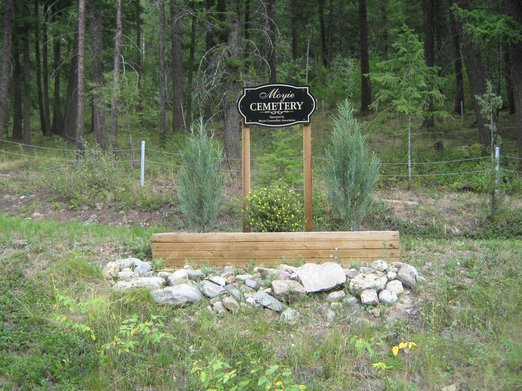
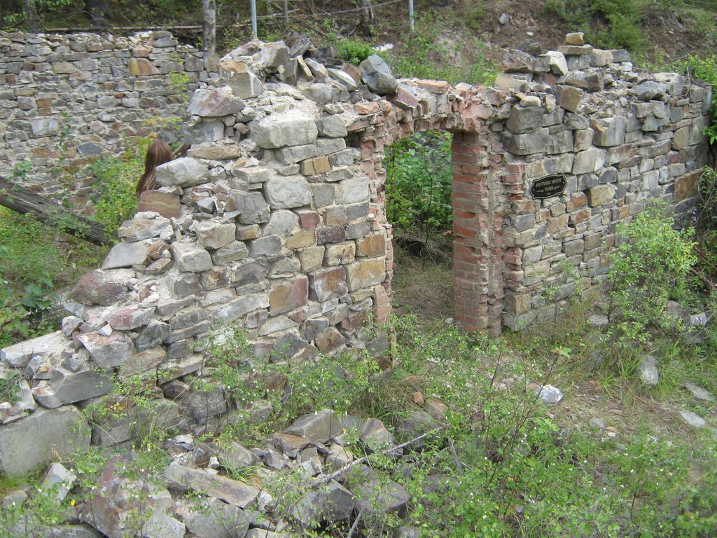
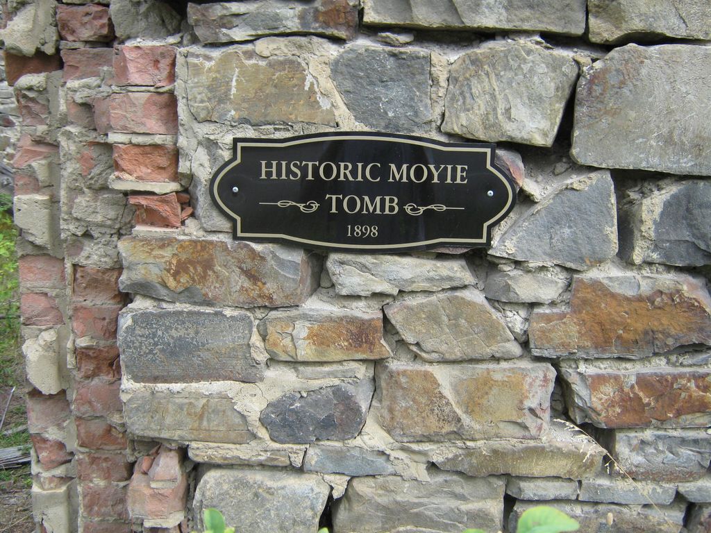
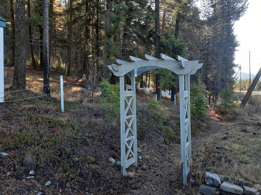
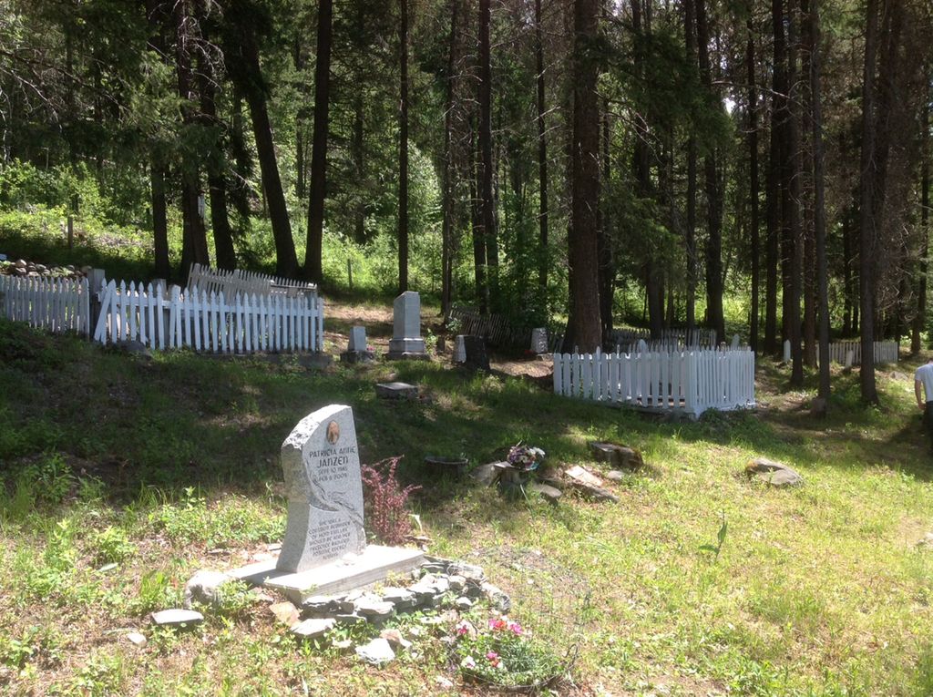
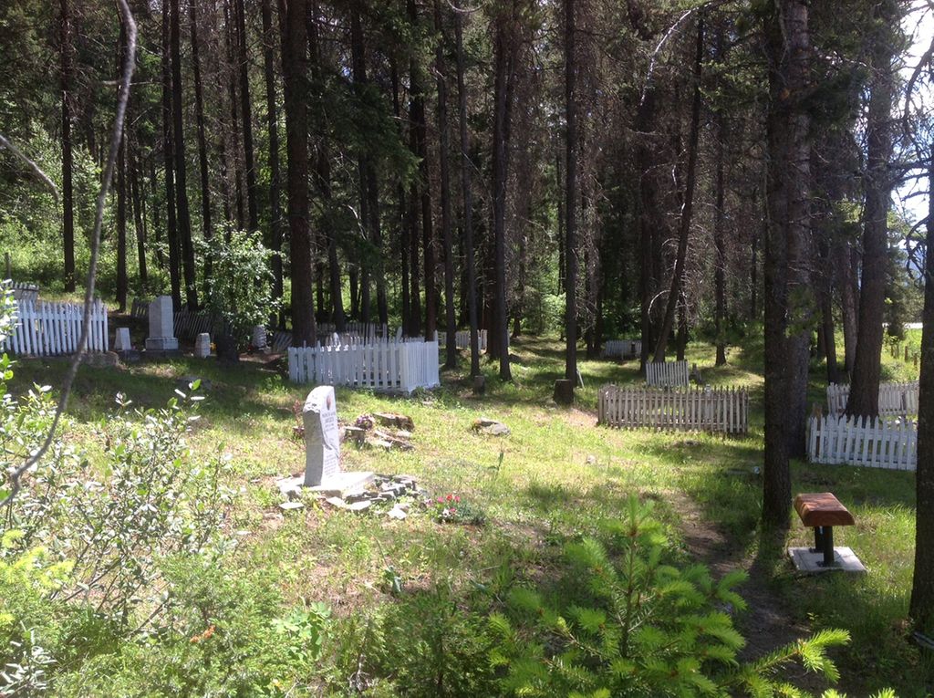
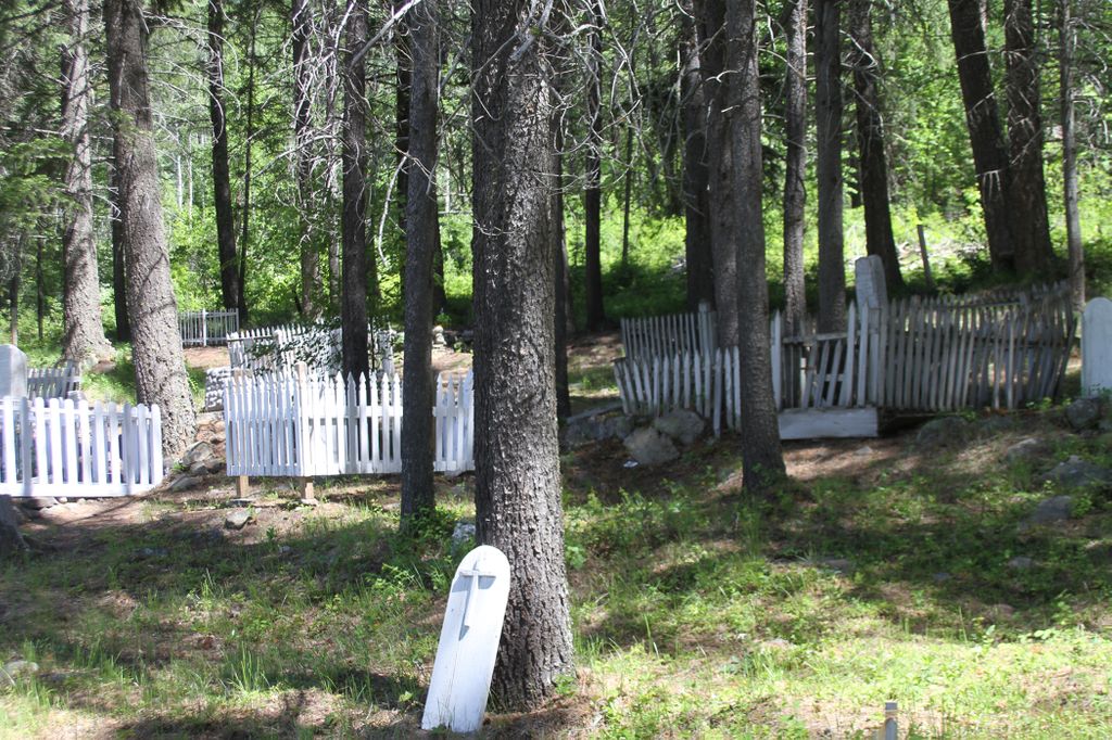
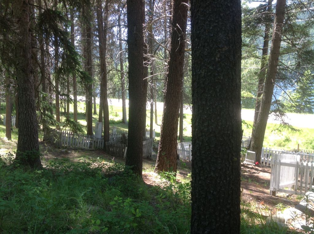
| Description | : | The Moyie cemetery is about one mile (1.6 Km) south of the town of Moyie BC. The cemetery will be on the left side of the road going south on (3/95) in a grove of trees. Small picket fences surround some of the graves. The markers range from hand-inscribed wood to marble and other stone. Dates range from 1900 to 2009. The last casket burial is believed to have been in 1948. Since that time ashes have been interred. The cemetery is now considered "inactive" and has been designated an historical site. The entrance is about 50 yards (45.7 meters)... Read More |
frequently asked questions (FAQ):
-
Where is Moyie Cemetery?
Moyie Cemetery is located at Moyie, East Kootenay Regional District ,British Columbia ,Canada.
-
Moyie Cemetery cemetery's updated grave count on graveviews.com?
90 memorials
-
Where are the coordinates of the Moyie Cemetery?
Latitude: 49.2743920
Longitude: -115.8350350
Nearby Cemetories:
1. Westlawn Cemetery
Cranbrook, East Kootenay Regional District, Canada
Coordinate: 49.5112220, -115.7821910
2. Cranbrook Catholic Cemetery
Cranbrook, East Kootenay Regional District, Canada
Coordinate: 49.5114080, -115.7813930
3. Cranbrook Old General Cemetery
Cranbrook, East Kootenay Regional District, Canada
Coordinate: 49.5116630, -115.7826420
4. Cranbrook New General Cemetery
Cranbrook, East Kootenay Regional District, Canada
Coordinate: 49.5118890, -115.7837250
5. Yahk Cemetery
Yahk, Central Kootenay Regional District, Canada
Coordinate: 49.0885510, -116.0776230
6. Aqam Cemetery
Cranbrook, East Kootenay Regional District, Canada
Coordinate: 49.5833840, -115.7574800
7. Boyd Cemetery
Libby, Lincoln County, USA
Coordinate: 48.9543991, -115.6046982
8. Sand Creek Cemetery
Jaffray, East Kootenay Regional District, Canada
Coordinate: 49.3362250, -115.2909390
9. Marysville Cemetery
Marysville, East Kootenay Regional District, Canada
Coordinate: 49.6386900, -115.9513300
10. Fort Steele Cemetery
Fort Steele, East Kootenay Regional District, Canada
Coordinate: 49.6260109, -115.6225662
11. Goat River Cemetery
Creston, Central Kootenay Regional District, Canada
Coordinate: 49.1411200, -116.3992060
12. Baynes Lake Cemetery
Baynes Lake, East Kootenay Regional District, Canada
Coordinate: 49.2369900, -115.2106000
13. Kimberley Cemetery
Kimberley, East Kootenay Regional District, Canada
Coordinate: 49.6766700, -115.9746000
14. Forest Lawn Cemetery
Creston, Central Kootenay Regional District, Canada
Coordinate: 49.0991400, -116.4626400
15. Elko Cemetery
Elko, East Kootenay Regional District, Canada
Coordinate: 49.2978200, -115.1353500
16. Lister Community Cemetery
Lister, Central Kootenay Regional District, Canada
Coordinate: 49.0466400, -116.4690100
17. Lister All Saints Anglican Church Cemetery
Lister, Central Kootenay Regional District, Canada
Coordinate: 49.0441667, -116.4691667
18. Pioneer Cemetery
Creston, Central Kootenay Regional District, Canada
Coordinate: 49.0921800, -116.5127700
19. St. Peter's Cemetery
Creston, Central Kootenay Regional District, Canada
Coordinate: 49.0617730, -116.5173680
20. Copeland Cemetery
Copeland, Boundary County, USA
Coordinate: 48.9202995, -116.3783035
21. Porthill Cemetery
Porthill, Boundary County, USA
Coordinate: 48.9994000, -116.4840000
22. Fernie Cemetery
Fernie, East Kootenay Regional District, Canada
Coordinate: 49.5002240, -115.0579050
23. Sylvanite Cemetery
Lincoln County, USA
Coordinate: 48.7210000, -115.8745000
24. Saint Margaret's Cemetery
Fernie, East Kootenay Regional District, Canada
Coordinate: 49.4989900, -115.0550900