
| Memorials | : | 2 |
| Location | : | McKean County, USA |
| Coordinate | : | 41.9787000, -78.2349000 |
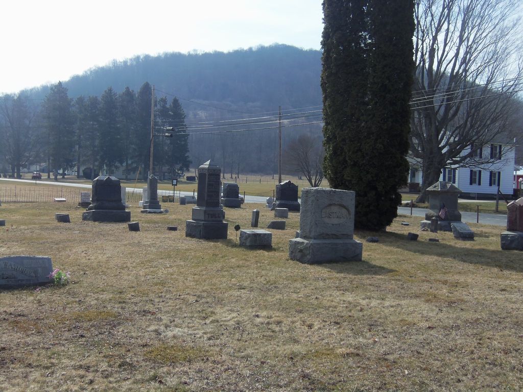
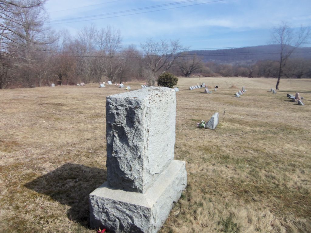
| Description | : | The closest sizeable community to Myrtle Cemetery is Shinglehouse, which is in western Potter County. From Shinglehouse, head westward on W Honeoye Street from its intersection with Union Street. Continue for 0.2 miles, at which point the road becomes Pennsylvania SR 44/Ceres Road. Myrtle Cemetery will be on your right in about 2.2 miles. Total distance is about 2.4 miles. |
frequently asked questions (FAQ):
-
Where is Myrtle Cemetery?
Myrtle Cemetery is located at 340 Ceres Rd McKean County ,Pennsylvania , 16748USA.
-
Myrtle Cemetery cemetery's updated grave count on graveviews.com?
2 memorials
-
Where are the coordinates of the Myrtle Cemetery?
Latitude: 41.9787000
Longitude: -78.2349000
Nearby Cemetories:
1. River View Cemetery
Shinglehouse, Potter County, USA
Coordinate: 41.9653750, -78.1925920
2. Ceres Cemetery
McKean County, USA
Coordinate: 41.9991400, -78.2719600
3. Maple Grove Cemetery
Shinglehouse, Potter County, USA
Coordinate: 41.9589005, -78.1919022
4. Bowler Memorial Cemetery
Little Genesee, Allegany County, USA
Coordinate: 42.0162600, -78.2281800
5. Evergreen Cemetery
McKean County, USA
Coordinate: 41.9875100, -78.2914500
6. Bell Run Cemetery
McKean County, USA
Coordinate: 41.9357100, -78.2314300
7. Wells Cemetery
Little Genesee, Allegany County, USA
Coordinate: 42.0321999, -78.1994019
8. Little Genesee Cemetery
Allegany County, USA
Coordinate: 42.0374985, -78.2063980
9. Little Rhode Island Cemetery
Little Genesee, Allegany County, USA
Coordinate: 42.0375800, -78.2060100
10. East Sharon Cemetery
Honeoye, Potter County, USA
Coordinate: 41.9778000, -78.1478000
11. East Portville Cemetery
Main Settlement, Cattaraugus County, USA
Coordinate: 42.0135002, -78.3151016
12. Sharon Center Cemetery
Sharon Center, Potter County, USA
Coordinate: 41.9425000, -78.1541000
13. Annin Creek Cemetery
Turtlepoint, McKean County, USA
Coordinate: 41.9042110, -78.2596270
14. Maple Lawn Cemetery
Bolivar, Allegany County, USA
Coordinate: 42.0560989, -78.1763992
15. Saint Marys Cemetery
Bolivar, Allegany County, USA
Coordinate: 42.0572014, -78.1757965
16. Pine Street Cemetery
Portville, Cattaraugus County, USA
Coordinate: 42.0308990, -78.3415985
17. Chestnut Hill Cemetery
Portville, Cattaraugus County, USA
Coordinate: 42.0409012, -78.3321991
18. West Genesee Cemetery
Obi, Allegany County, USA
Coordinate: 42.0807991, -78.2636032
19. Saint Raphael Cemetery
Eldred, McKean County, USA
Coordinate: 41.9589000, -78.3758000
20. Saint Mary's Roman Catholic Cemetery
Sartwell, McKean County, USA
Coordinate: 41.9028000, -78.3386000
21. Artline Road Cemetery
Eldred, McKean County, USA
Coordinate: 41.9929000, -78.3794000
22. Lamphier Cemetery
Eldred, McKean County, USA
Coordinate: 41.9491997, -78.3807983
23. Oak Hill Cemetery
Eldred, McKean County, USA
Coordinate: 41.9510994, -78.3824997
24. Richburg Cemetery
Richburg, Allegany County, USA
Coordinate: 42.0866300, -78.1556700