| Memorials | : | 10 |
| Location | : | Eldred, McKean County, USA |
| Coordinate | : | 41.9510994, -78.3824997 |
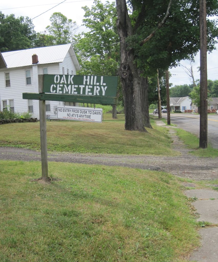
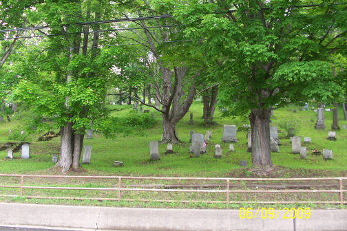
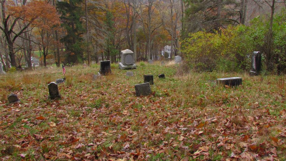
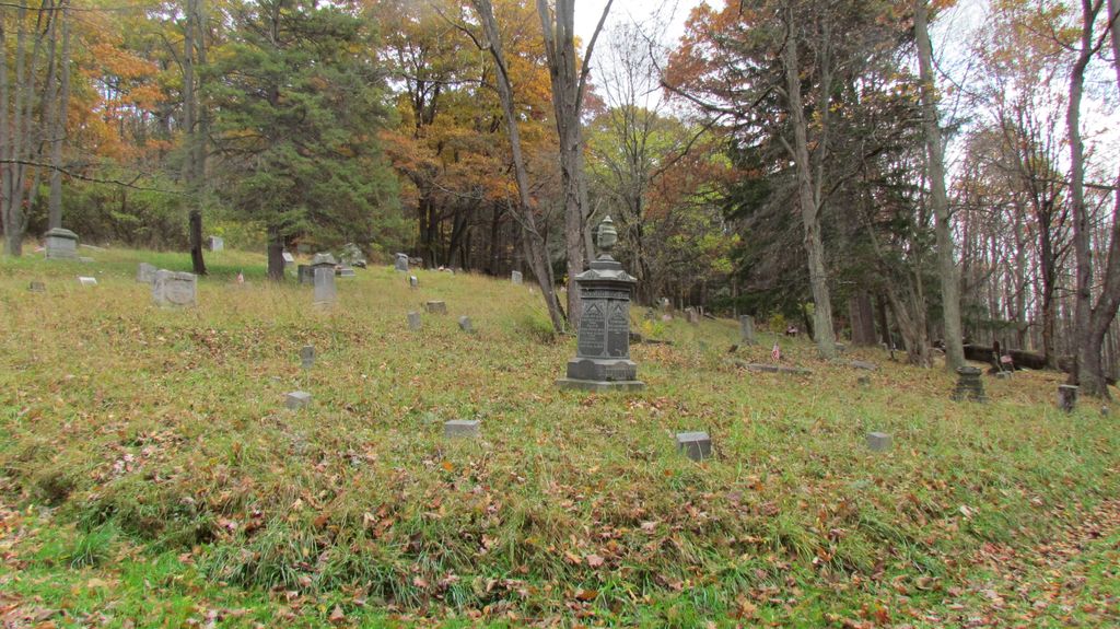
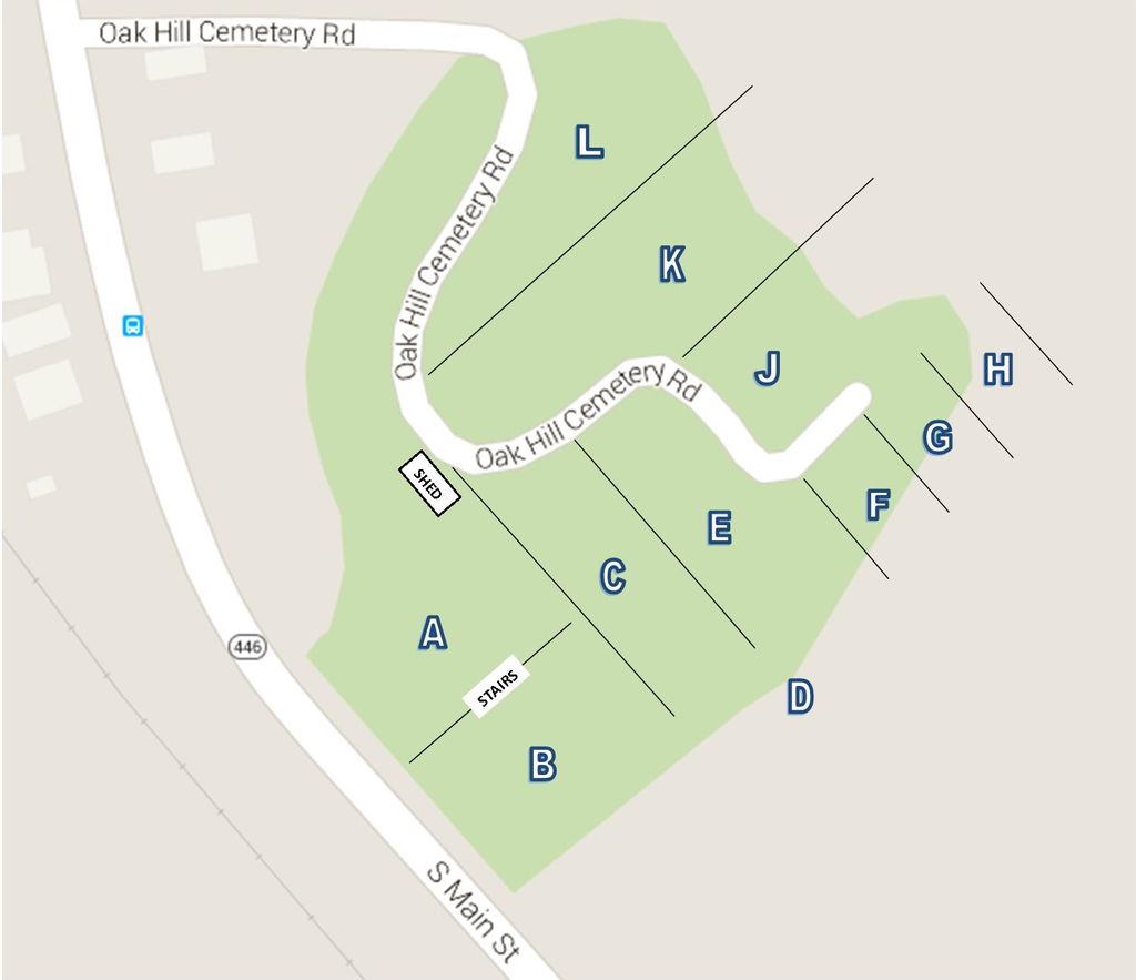
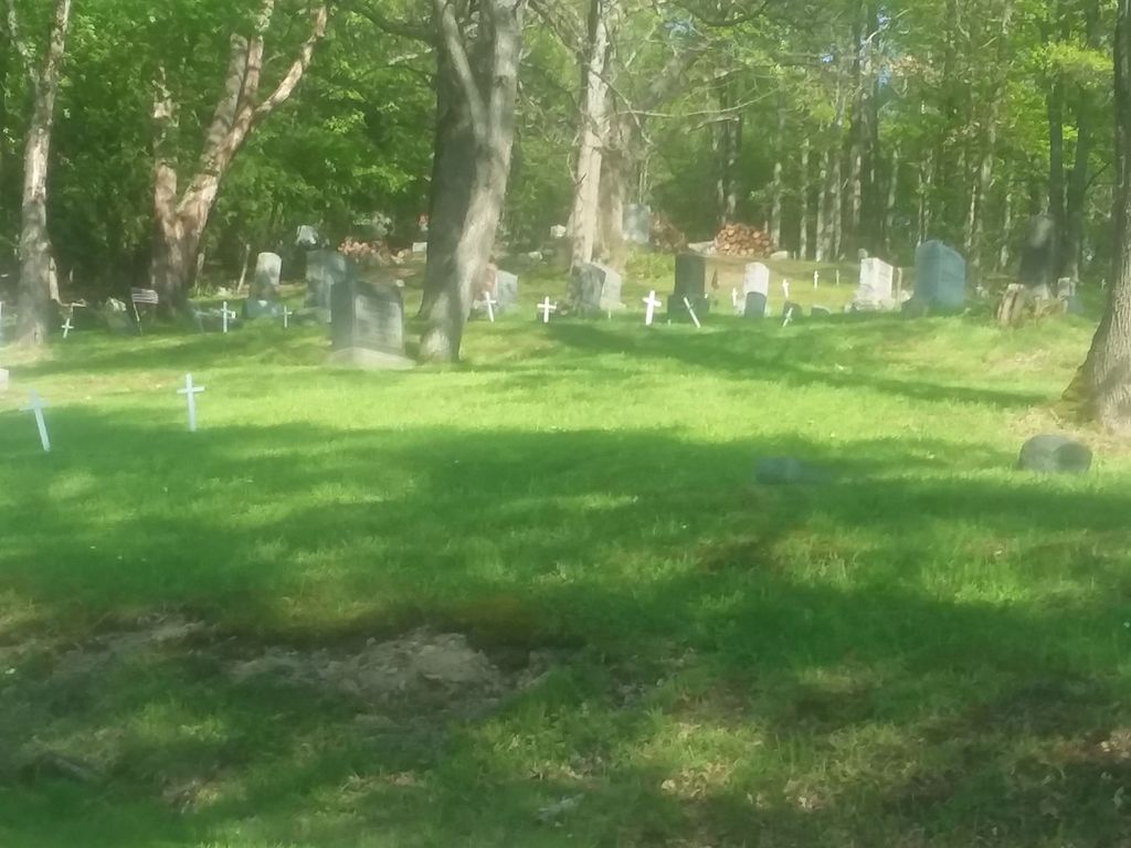
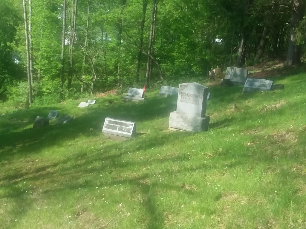
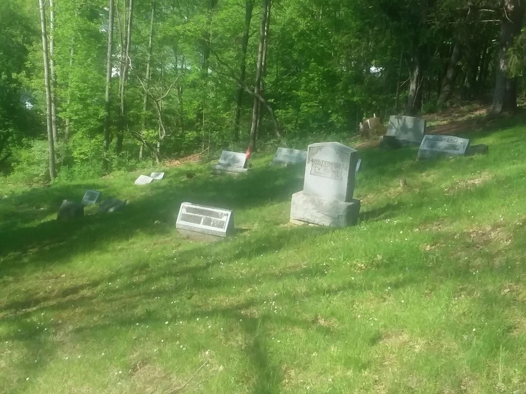
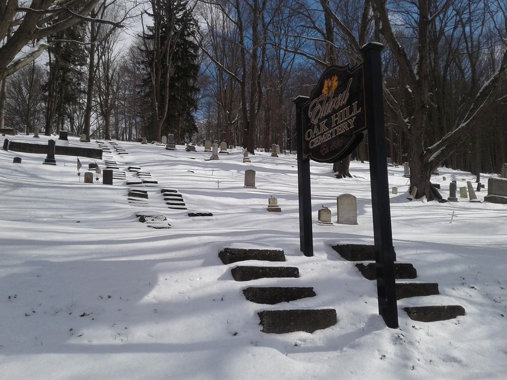
| Description | : | In 1848, William P. Wright gave a half acre of land to the village of Allegany Bridge (Eldred). The land was already the Wright family cemetery, with James Wright (1765-1831), a veteran of the American Revolution buried there. The village burial grounds expanded by several acres up the hillside and was formed as the Oak Hill Cemetery in 1886, with Thomas C. Wainman as president. Reuben Dennis (1826-1905) made several improvements to the old cemetery in 1903. In November 1904, Stephen Smith (1826-1911) developed the Smith Cemetery adjacent to Oak Hill, consisting about five acres of land. In 1919,... Read More |
frequently asked questions (FAQ):
-
Where is Oak Hill Cemetery?
Oak Hill Cemetery is located at Eldred, McKean County ,Pennsylvania ,USA.
-
Oak Hill Cemetery cemetery's updated grave count on graveviews.com?
9 memorials
-
Where are the coordinates of the Oak Hill Cemetery?
Latitude: 41.9510994
Longitude: -78.3824997
Nearby Cemetories:
1. Lamphier Cemetery
Eldred, McKean County, USA
Coordinate: 41.9491997, -78.3807983
2. Saint Raphael Cemetery
Eldred, McKean County, USA
Coordinate: 41.9589000, -78.3758000
3. Loop Parmeter Cemetery
Eldred Township, McKean County, USA
Coordinate: 41.9659000, -78.4108000
4. Cooks Cemetery
Eldred, McKean County, USA
Coordinate: 41.9798700, -78.4024070
5. Stulltown Cemetery
Eldred, McKean County, USA
Coordinate: 41.9114000, -78.3951000
6. Artline Road Cemetery
Eldred, McKean County, USA
Coordinate: 41.9929000, -78.3794000
7. Saint Mary's Roman Catholic Cemetery
Sartwell, McKean County, USA
Coordinate: 41.9028000, -78.3386000
8. Moody Hollow Cemetery
Eldred, McKean County, USA
Coordinate: 41.8941994, -78.4152985
9. Duke Center Cemetery
Duke Center, McKean County, USA
Coordinate: 41.9502000, -78.4760000
10. Rixford Cemetery
Rixford, McKean County, USA
Coordinate: 41.9347000, -78.4747009
11. Evergreen Cemetery
McKean County, USA
Coordinate: 41.9875100, -78.2914500
12. Coryville Cemetery
Coryville, McKean County, USA
Coordinate: 41.8738420, -78.3865240
13. East Portville Cemetery
Main Settlement, Cattaraugus County, USA
Coordinate: 42.0135002, -78.3151016
14. Pine Street Cemetery
Portville, Cattaraugus County, USA
Coordinate: 42.0308990, -78.3415985
15. Goodwin Cemetery
Farmers Valley, McKean County, USA
Coordinate: 41.8687000, -78.4363000
16. Ceres Cemetery
McKean County, USA
Coordinate: 41.9991400, -78.2719600
17. Chestnut Hill Cemetery
Portville, Cattaraugus County, USA
Coordinate: 42.0409012, -78.3321991
18. Barton Cemetery
Rixford, McKean County, USA
Coordinate: 41.9219490, -78.5136130
19. Annin Creek Cemetery
Turtlepoint, McKean County, USA
Coordinate: 41.9042110, -78.2596270
20. Fairmount Cemetery
Farmers Valley, McKean County, USA
Coordinate: 41.8541985, -78.4344025
21. Crossmire Burial Site
Farmers Valley, McKean County, USA
Coordinate: 41.8440964, -78.4280133
22. Myrtle Cemetery
McKean County, USA
Coordinate: 41.9787000, -78.2349000
23. Bell Run Cemetery
McKean County, USA
Coordinate: 41.9357100, -78.2314300
24. Mount View Cemetery
Olean, Cattaraugus County, USA
Coordinate: 42.0681000, -78.4341965

