
| Memorials | : | 1 |
| Location | : | Belgique, Perry County, USA |
| Coordinate | : | 37.8358002, -89.7767029 |
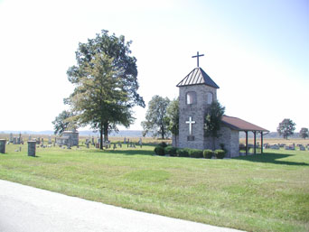
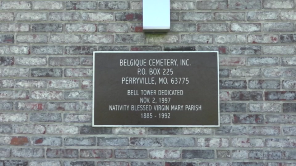
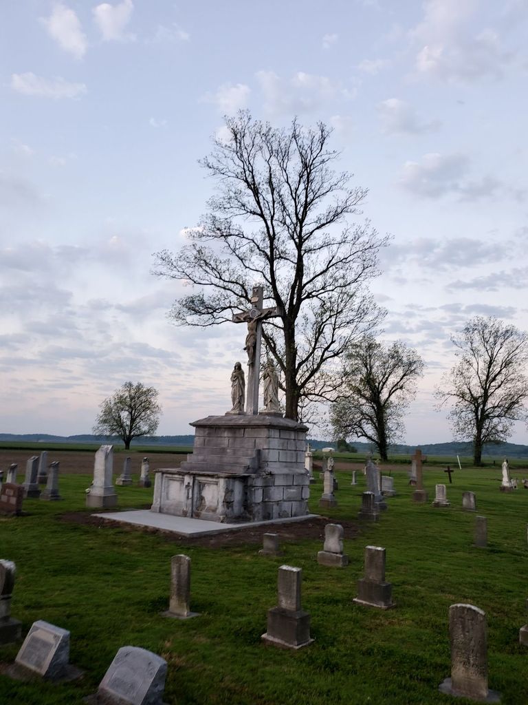
| Description | : | Full name: Nativity of the Blessed Virgin Mary Catholic Church Cemetery. The cemetery is located in Perry County, Missouri, in what used to be the town of Belgique. The cemetery has suffered from the ravages of the Mississippi River flood waters and is the only remaining vestige of the town of Belgique. The remaining headstones are still legible and in relatively good condition. |
frequently asked questions (FAQ):
-
Where is Nativity of the Blessed Virgin Mary Cemetery?
Nativity of the Blessed Virgin Mary Cemetery is located at Belgique, Perry County ,Missouri ,USA.
-
Nativity of the Blessed Virgin Mary Cemetery cemetery's updated grave count on graveviews.com?
1 memorials
-
Where are the coordinates of the Nativity of the Blessed Virgin Mary Cemetery?
Latitude: 37.8358002
Longitude: -89.7767029
Nearby Cemetories:
1. Crains Island Cemetery
Rockwood, Randolph County, USA
Coordinate: 37.8617168, -89.7953929
2. Kirk Cemetery
Rockwood, Randolph County, USA
Coordinate: 37.8605995, -89.7433014
3. Frazer Cemetery
Rockwood, Randolph County, USA
Coordinate: 37.8692017, -89.7438965
4. Woods Cemetery
Rockwood, Randolph County, USA
Coordinate: 37.8532982, -89.7257996
5. Tindall Cemetery
Rockwood, Randolph County, USA
Coordinate: 37.8741989, -89.7375031
6. Moore Cemetery
Rockwood, Randolph County, USA
Coordinate: 37.8671989, -89.7249985
7. Pleasant Ridge Cemetery
Rockwood, Randolph County, USA
Coordinate: 37.8617270, -89.7199920
8. Barnfield Burial Ground
Rockwood, Randolph County, USA
Coordinate: 37.8623200, -89.7204100
9. Hindman Cemetery
Rockwood, Randolph County, USA
Coordinate: 37.8474998, -89.7099991
10. Preston Cemetery
Perry County, USA
Coordinate: 37.8025017, -89.8330994
11. Crain-Clore Cemetery
Randolph County, USA
Coordinate: 37.8929410, -89.7808310
12. Reid Cemetery
Rockwood, Randolph County, USA
Coordinate: 37.8438988, -89.7024994
13. Johnson Cemetery
Rockwood, Randolph County, USA
Coordinate: 37.8929120, -89.7489840
14. Grah Cemetery
Rockwood, Randolph County, USA
Coordinate: 37.8931007, -89.7305984
15. Draves Cemetery
Randolph County, USA
Coordinate: 37.8950005, -89.7288971
16. Fulford Cemetery
Rockwood, Randolph County, USA
Coordinate: 37.8875008, -89.7149963
17. Point Rest Lutheran Cemetery
Menfro, Perry County, USA
Coordinate: 37.7758790, -89.7238930
18. Ebenezer Memorial Cemetery
Rockwood, Randolph County, USA
Coordinate: 37.8588982, -89.6802979
19. Brown Cemetery
Randolph County, USA
Coordinate: 37.8307991, -89.6742020
20. Saint John the Evangelist Catholic Church Cemetery
Lithium, Perry County, USA
Coordinate: 37.8327600, -89.8873360
21. Evergreen Cemetery
Chester, Randolph County, USA
Coordinate: 37.9160995, -89.8249969
22. Mount Summit Cemetery
Randolph County, USA
Coordinate: 37.8908005, -89.6836014
23. Southern Illinois Penitentiary Cemetery
Menard, Randolph County, USA
Coordinate: 37.9140210, -89.8383510
24. Emery Cemetery
Rockwood, Randolph County, USA
Coordinate: 37.8972015, -89.6896973