
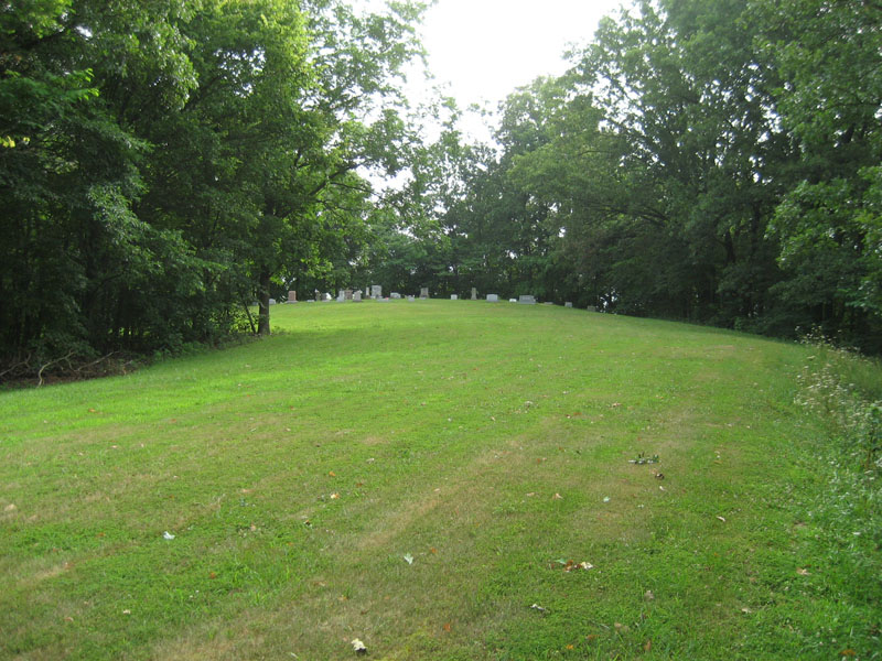
| Memorials | : | 1 |
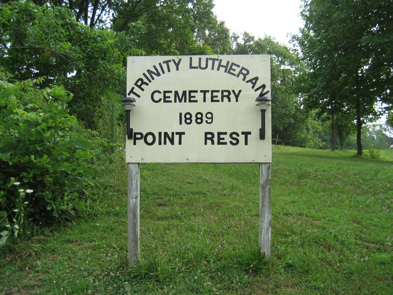
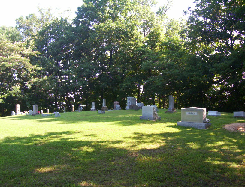
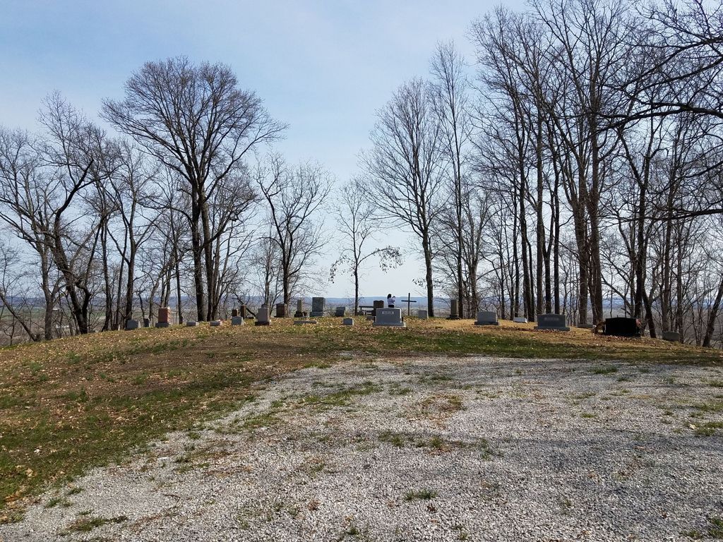
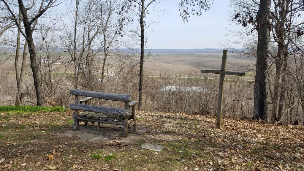
| Location | : | Menfro, Perry County, USA |
| Coordinate | : | 37.7758790, -89.7238930 |
frequently asked questions (FAQ):
-
Where is Point Rest Lutheran Cemetery?
Point Rest Lutheran Cemetery is located at Menfro, Perry County ,Missouri ,USA.
-
Point Rest Lutheran Cemetery cemetery's updated grave count on graveviews.com?
1 memorials
-
Where are the coordinates of the Point Rest Lutheran Cemetery?
Latitude: 37.7758790
Longitude: -89.7238930
Nearby Cemetories:
1. Saint James Cemetery
Crosstown, Perry County, USA
Coordinate: 37.7485260, -89.7289040
2. Bethlehem Baptist Cemetery
Crosstown, Perry County, USA
Coordinate: 37.7473550, -89.7257820
3. Zion Lutheran Cemetery
Crosstown, Perry County, USA
Coordinate: 37.7412900, -89.7282100
4. Holy Cross Lutheran Cemetery
Perry County, USA
Coordinate: 37.7224998, -89.7660980
5. Pleasant Grove Cemetery
Crosstown, Perry County, USA
Coordinate: 37.7132300, -89.7382400
6. Horn Cemetery
Perry County, USA
Coordinate: 37.7285995, -89.7780991
7. Brown Cemetery
Randolph County, USA
Coordinate: 37.8307991, -89.6742020
8. Reid Cemetery
Rockwood, Randolph County, USA
Coordinate: 37.8438988, -89.7024994
9. Baptist Shed Cemetery
Perry County, USA
Coordinate: 37.7085991, -89.7574997
10. Hindman Cemetery
Rockwood, Randolph County, USA
Coordinate: 37.8474998, -89.7099991
11. Nativity of the Blessed Virgin Mary Cemetery
Belgique, Perry County, USA
Coordinate: 37.8358002, -89.7767029
12. Wilkinson Family Cemetery
Seventysix, Perry County, USA
Coordinate: 37.7361092, -89.6440241
13. Houge Cemetery
Jones Ridge, Jackson County, USA
Coordinate: 37.8241997, -89.6517029
14. Woods Cemetery
Rockwood, Randolph County, USA
Coordinate: 37.8532982, -89.7257996
15. Salem Lutheran Church Cemetery
Farrar, Perry County, USA
Coordinate: 37.7020900, -89.6915890
16. Pleasant Ridge Cemetery
Rockwood, Randolph County, USA
Coordinate: 37.8617270, -89.7199920
17. Kirk Cemetery
Rockwood, Randolph County, USA
Coordinate: 37.8605995, -89.7433014
18. Barnfield Burial Ground
Rockwood, Randolph County, USA
Coordinate: 37.8623200, -89.7204100
19. Ebenezer Memorial Cemetery
Rockwood, Randolph County, USA
Coordinate: 37.8588982, -89.6802979
20. Preston Cemetery
Perry County, USA
Coordinate: 37.8025017, -89.8330994
21. Moore Cemetery
Rockwood, Randolph County, USA
Coordinate: 37.8671989, -89.7249985
22. Frazer Cemetery
Rockwood, Randolph County, USA
Coordinate: 37.8692017, -89.7438965
23. Tindall Cemetery
Rockwood, Randolph County, USA
Coordinate: 37.8741989, -89.7375031
24. Buchanan Cemetery
Cora, Jackson County, USA
Coordinate: 37.8474998, -89.6343994