
| Memorials | : | 0 |
| Location | : | Windsor Township, Lawrence County, USA |
| Coordinate | : | 38.5245400, -82.4745400 |
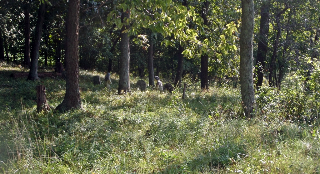
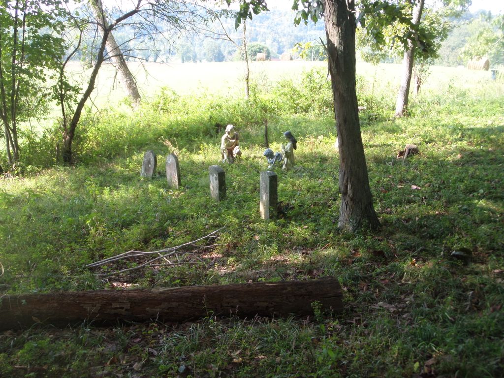
| Description | : | Pemberton Nr Jnc TR114(Dicks Creek) and CR61(Drift Creek) on Drift Creek, nw1/4 , s30 T2 R16 Location according to Windsor Twp Cemetery Inscriptions LawCo Ohio The cemetery is located in Windsor Township, Lawrence County, Ohio, and is # 13802 (Pemberton Cemetery) in “Ohio Cemeteries 1803-2003”, compiled by the Ohio Genealogical Society. |
frequently asked questions (FAQ):
-
Where is Neal-Pemberton Cemetery?
Neal-Pemberton Cemetery is located at 456 County Road 61 Windsor Township, Lawrence County ,Ohio , 45645USA.
-
Neal-Pemberton Cemetery cemetery's updated grave count on graveviews.com?
0 memorials
-
Where are the coordinates of the Neal-Pemberton Cemetery?
Latitude: 38.5245400
Longitude: -82.4745400
Nearby Cemetories:
1. Earles Cemetery
Getaway, Lawrence County, USA
Coordinate: 38.5193140, -82.4592710
2. Willis Cemetery
Aid, Lawrence County, USA
Coordinate: 38.5116997, -82.4933014
3. Langdon Cemetery
Getaway, Lawrence County, USA
Coordinate: 38.5032997, -82.4803009
4. Conway Family Cemetery
Rock Camp, Lawrence County, USA
Coordinate: 38.5122500, -82.5066040
5. Mount Tabor Cemetery
Getaway, Lawrence County, USA
Coordinate: 38.4925170, -82.4830990
6. Linnville Lutheran Cemetery
Linnville, Lawrence County, USA
Coordinate: 38.5570400, -82.4807600
7. Harmony Baptist Cemetery
Getaway, Lawrence County, USA
Coordinate: 38.4870700, -82.4698200
8. Getaway United Methodist Episcopal Cemetery
Chesapeake, Lawrence County, USA
Coordinate: 38.4870900, -82.4688600
9. Pomaria Cemetery
Windsor Township, Lawrence County, USA
Coordinate: 38.5081400, -82.4290400
10. Old Centenary Cemetery
Greasy Ridge, Lawrence County, USA
Coordinate: 38.5450540, -82.4304110
11. Centenary Cemetery
Greasy Ridge, Lawrence County, USA
Coordinate: 38.5450800, -82.4304300
12. Myrtle Ridge Cemetery
Kitts Hill, Lawrence County, USA
Coordinate: 38.5509100, -82.5143200
13. William Langdon Burial Plot
South Point, Lawrence County, USA
Coordinate: 38.4835028, -82.4765719
14. Murnaham Cemetery
Windsor Township, Lawrence County, USA
Coordinate: 38.5671997, -82.4674988
15. Leatherwood Cemetery
Getaway, Lawrence County, USA
Coordinate: 38.5214005, -82.5302963
16. Henry Goodall Cemetery
Bradrick, Lawrence County, USA
Coordinate: 38.4993300, -82.4277700
17. Ross Cemetery
Andis, Lawrence County, USA
Coordinate: 38.5569000, -82.5139008
18. Webb Cemetery
Rock Camp, Lawrence County, USA
Coordinate: 38.5270300, -82.5359900
19. Maddy Cemetery
Fayette Township, Lawrence County, USA
Coordinate: 38.5005989, -82.5389023
20. DeFoe Family Cemetery
Rock Camp, Lawrence County, USA
Coordinate: 38.5222480, -82.5458980
21. Black Cemetery
Greasy Ridge, Lawrence County, USA
Coordinate: 38.4842280, -82.4246070
22. Perkins Ridge Cemetery
Greasy Ridge, Lawrence County, USA
Coordinate: 38.5673000, -82.4268200
23. Riley Cemetery #1
Union Township, Lawrence County, USA
Coordinate: 38.4838900, -82.4236100
24. Wall Family Cemetery
Scottown, Lawrence County, USA
Coordinate: 38.5469000, -82.4064000