
| Memorials | : | 0 |
| Location | : | Windsor Township, Lawrence County, USA |
| Coordinate | : | 38.5671997, -82.4674988 |
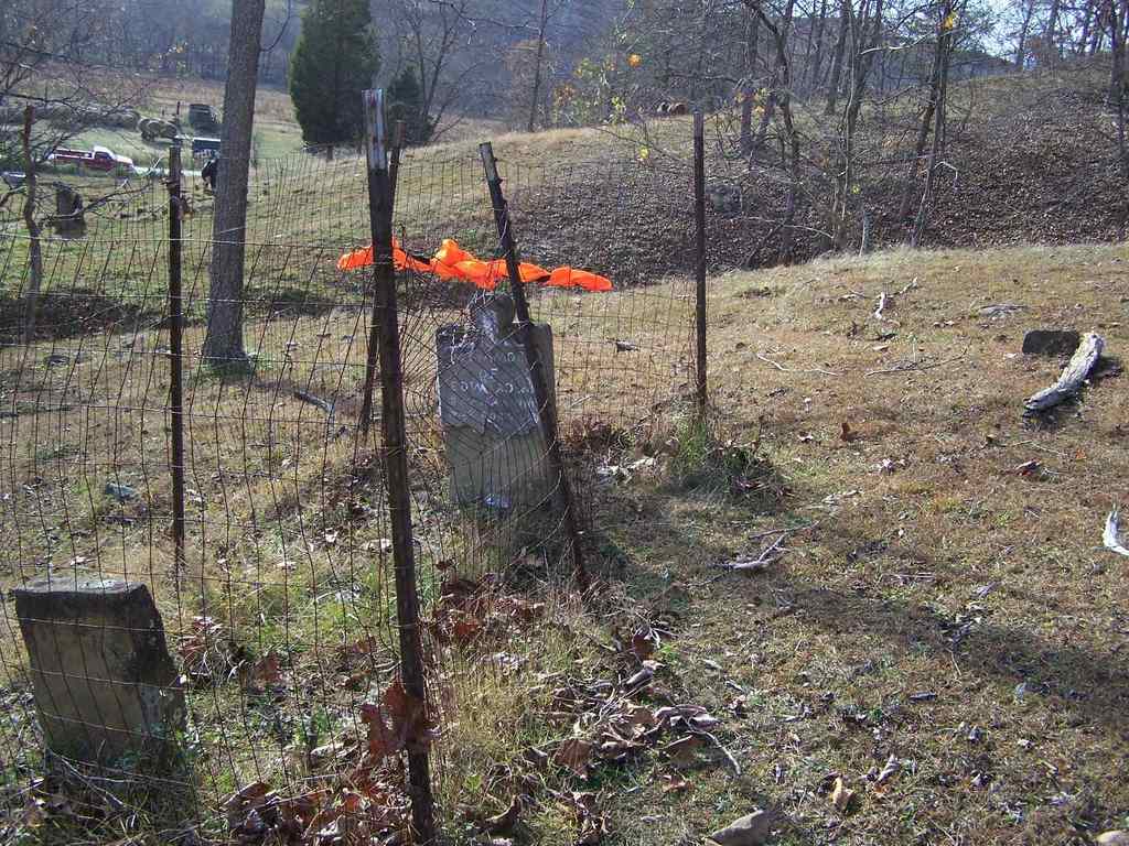
| Description | : | The cemetery is located about 200 feet north of Township Road 319 about 0.1 miles east of its intersection with Ohio State Route 378. The cemetery is located in Windsor Township, Lawrence County, Ohio, and is # 6596 (Murnahan Cemetery / Murnaham Cemetery) in "Ohio Cemeteries 1803-2003", compiled by the Ohio Genealogical Society. The U.S. Geological Survey (USGS) Geographic Names Information System (GNIS) feature ID for the cemetery is 1076485 (Murnaham Cemetery). |
frequently asked questions (FAQ):
-
Where is Murnaham Cemetery?
Murnaham Cemetery is located at Township Road 319 Windsor Township, Lawrence County ,Ohio , 45696USA.
-
Murnaham Cemetery cemetery's updated grave count on graveviews.com?
0 memorials
-
Where are the coordinates of the Murnaham Cemetery?
Latitude: 38.5671997
Longitude: -82.4674988
Nearby Cemetories:
1. Linnville Lutheran Cemetery
Linnville, Lawrence County, USA
Coordinate: 38.5570400, -82.4807600
2. Perkins Ridge Cemetery
Greasy Ridge, Lawrence County, USA
Coordinate: 38.5673000, -82.4268200
3. Centenary Cemetery
Greasy Ridge, Lawrence County, USA
Coordinate: 38.5450800, -82.4304300
4. Old Centenary Cemetery
Greasy Ridge, Lawrence County, USA
Coordinate: 38.5450540, -82.4304110
5. Ross Cemetery
Andis, Lawrence County, USA
Coordinate: 38.5569000, -82.5139008
6. Myrtle Ridge Cemetery
Kitts Hill, Lawrence County, USA
Coordinate: 38.5509100, -82.5143200
7. Bald Knob Cemetery
Lawrence Township, Lawrence County, USA
Coordinate: 38.5744019, -82.5186005
8. Neal-Pemberton Cemetery
Windsor Township, Lawrence County, USA
Coordinate: 38.5245400, -82.4745400
9. Aid Cemetery
Aid, Lawrence County, USA
Coordinate: 38.6086006, -82.4886017
10. Earles Cemetery
Getaway, Lawrence County, USA
Coordinate: 38.5193140, -82.4592710
11. Wall Family Cemetery
Scottown, Lawrence County, USA
Coordinate: 38.5469000, -82.4064000
12. Corn Family Cemetery
Kitts Hill, Lawrence County, USA
Coordinate: 38.5749360, -82.5360180
13. Kingry Cemetery
Scottown, Lawrence County, USA
Coordinate: 38.5877991, -82.4024963
14. Willis Cemetery
Aid, Lawrence County, USA
Coordinate: 38.5116997, -82.4933014
15. Leach Cemetery
Lawrence Township, Lawrence County, USA
Coordinate: 38.5819016, -82.5410995
16. Lewis Cemetery
Kitts Hill, Lawrence County, USA
Coordinate: 38.5656800, -82.5434600
17. New Zion Cemetery
Greasy Ridge, Lawrence County, USA
Coordinate: 38.6086900, -82.4129300
18. Mannon Cemetery
Scottown, Lawrence County, USA
Coordinate: 38.5565300, -82.3924100
19. Zimmerman Cemetery
Polkadotte, Lawrence County, USA
Coordinate: 38.5814018, -82.3930969
20. Russell Cemetery
Lawrence County, USA
Coordinate: 38.6128006, -82.5175018
21. Callicoat Cemetery
Mason Township, Lawrence County, USA
Coordinate: 38.5949800, -82.3993000
22. Lodge Ridge Cemetery
Kitts Hill, Lawrence County, USA
Coordinate: 38.5936012, -82.5393982
23. Jenkins Cemetery #1
Kitts Hill, Lawrence County, USA
Coordinate: 38.5749160, -82.5469120
24. Conway Family Cemetery
Rock Camp, Lawrence County, USA
Coordinate: 38.5122500, -82.5066040