
| Memorials | : | 0 |
| Location | : | Lemgo, Kreis Lippe, Germany |
| Website | : | jüdische-gemeinden.de/index.php/gemeinden/k-l/1181-lemgo-nordrhein-westfalen |
| Coordinate | : | 52.0334550, 8.9043177 |
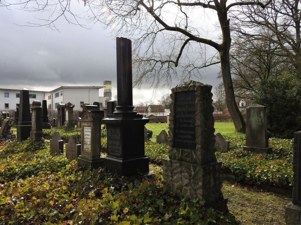
| Description | : | (Please scroll down for an English description) --- Lemgo beherbergte um 1900 die zweitgrößte jüdische Gemeinde in Lippe. Ihr Neue Friedhof wurde Anfang der 1870er Jahre (in direkter Nachbarschaft zum städtischen Friedhof an der Rintelner Str.) angelegt und ersetzte die alte jüdische Begräbnisstätte am Ostertorwall. Während die dortigen Grabmale in der NS-Zeit vollständig zerstört wurden, konnte der ebenfalls geschändete Neue Friedhof nach 1945 jedoch wieder hergerichtet werden. Das jüdische Leben in Lemgo war jedoch erloschen, von den wenigen Überlebenden der Shoa kehrte nur einer in seine Heimatstadt zurück. --- Lemgo was home to the second largest Jewish community in Lippe around 1900. Its New... Read More |
frequently asked questions (FAQ):
-
Where is Neuer Jüdischer Friedhof (New Jewish Cemetery)?
Neuer Jüdischer Friedhof (New Jewish Cemetery) is located at Konsul-Wolff-Str. Lemgo, Kreis Lippe ,Nordrhein-Westfalen , 32657Germany.
-
Neuer Jüdischer Friedhof (New Jewish Cemetery) cemetery's updated grave count on graveviews.com?
0 memorials
-
Where are the coordinates of the Neuer Jüdischer Friedhof (New Jewish Cemetery)?
Latitude: 52.0334550
Longitude: 8.9043177
Nearby Cemetories:
1. Friedhof Rintelner Strasse
Lemgo, Kreis Lippe, Germany
Coordinate: 52.0378900, 8.9038600
2. St. Marien
Lemgo, Kreis Lippe, Germany
Coordinate: 52.0254830, 8.8987500
3. Friedhof St. Johann extra muros
Lemgo, Kreis Lippe, Germany
Coordinate: 52.0278708, 8.8919307
4. Kirchengemeinde St. Johann
Lemgo, Kreis Lippe, Germany
Coordinate: 52.0220917, 8.8867636
5. Evangelisch-reformierte Kirchengemeinde Brake
Brake (Lemgo), Kreis Lippe, Germany
Coordinate: 52.0159600, 8.9216500
6. Friedhof Brake
Lemgo, Kreis Lippe, Germany
Coordinate: 52.0125465, 8.9199937
7. Friedhof Wahmbeck
Lemgo, Kreis Lippe, Germany
Coordinate: 51.9938711, 8.9147747
8. Friedhof Lemgo-Vossheide
Lemgo, Kreis Lippe, Germany
Coordinate: 52.0112790, 8.9610450
9. Friedhof Lemgo-Lieme
Lemgo, Kreis Lippe, Germany
Coordinate: 52.0264880, 8.8334640
10. Friedhof Hillentrup
Hillentrup, Kreis Lippe, Germany
Coordinate: 52.0479291, 8.9967352
11. Friedhof Spork
Spork (Dorentrup), Kreis Lippe, Germany
Coordinate: 52.0233700, 9.0013860
12. Friedhof Retzen
Bad Salzuflen, Kreis Lippe, Germany
Coordinate: 52.0473540, 8.7989480
13. Friedhof Bergkirchen
Bad Salzuflen, Kreis Lippe, Germany
Coordinate: 52.0793100, 8.8183900
14. Friedhof Wendlinghausen
Wendlinghausen, Kreis Lippe, Germany
Coordinate: 52.0114010, 9.0146581
15. Friedhof Dalborn
Blomberg, Kreis Lippe, Germany
Coordinate: 51.9744420, 8.9714960
16. Friedhof Donop
Blomberg, Kreis Lippe, Germany
Coordinate: 51.9896119, 8.9992402
17. Friedhof Hölsen
Bad Salzuflen, Kreis Lippe, Germany
Coordinate: 52.0372970, 8.7789990
18. Friedhof Hohenhausen
Hohenhausen, Kreis Lippe, Germany
Coordinate: 52.1088606, 8.9443413
19. Friedenspark
Lage, Kreis Lippe, Germany
Coordinate: 51.9935933, 8.7926373
20. Ruheforst Schloss Wendlinghausen-Lippe
Dorentrup, Kreis Lippe, Germany
Coordinate: 52.0087728, 9.0274611
21. Lage Windheide
Lage, Kreis Lippe, Germany
Coordinate: 51.9953530, 8.7809990
22. Zentralfriedhof Lage
Lage, Kreis Lippe, Germany
Coordinate: 51.9937958, 8.7803293
23. Funeke-Friedhof in Bad Salzuflen-Schötmar
Bad Salzuflen, Kreis Lippe, Germany
Coordinate: 52.0667520, 8.7645580
24. Schloss Stietencron
Bad Salzuflen, Kreis Lippe, Germany
Coordinate: 52.0693800, 8.7626900