| Memorials | : | 0 |
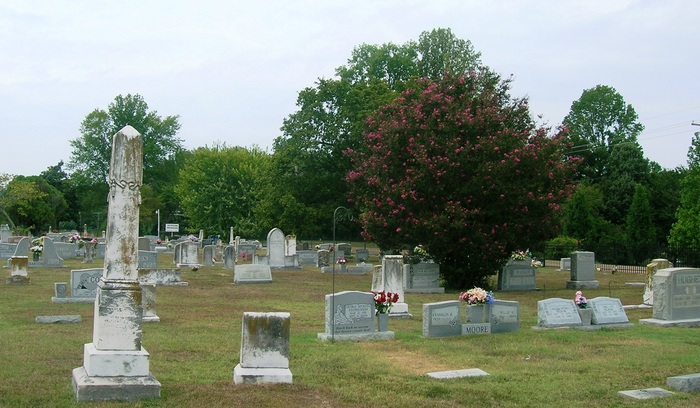
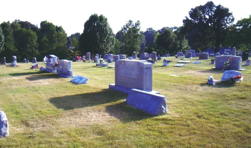
| Location | : | Horn Lake, DeSoto County, USA |
| Coordinate | : | 34.9332480, -90.0587720 |
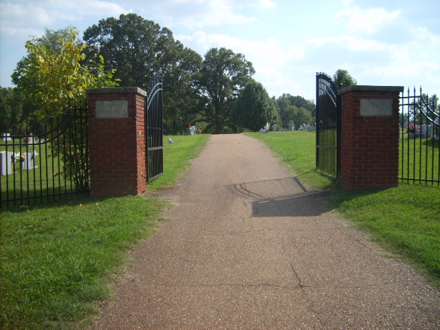
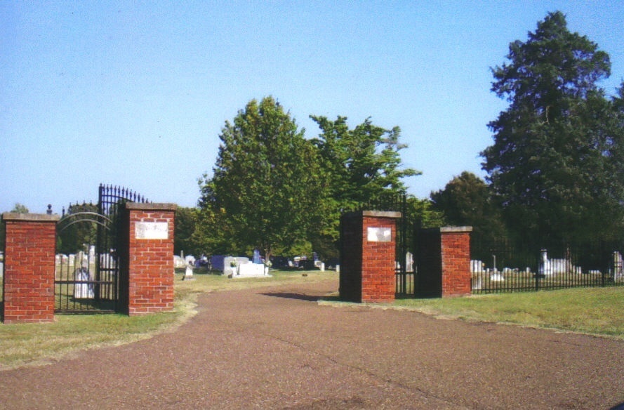
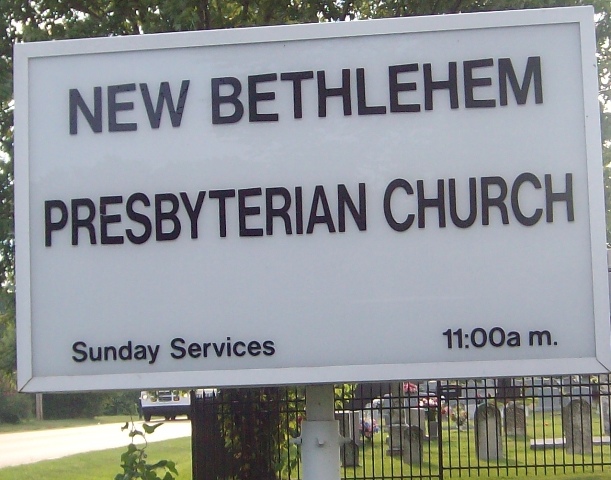
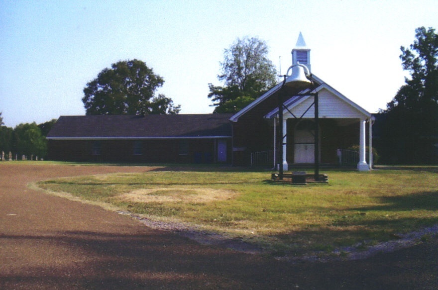
| Description | : | From the intersection of Church St. W & I-55, in Horn Lake, travel west on Church Rd. W for 3.6 mi.; turning south (left) into the cemetery. It is located east of & adjacent to the New Bethlehem Presbyterian Church. |
frequently asked questions (FAQ):
-
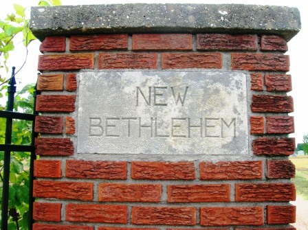
Where is New Bethlehem Church Cemetery?
New Bethlehem Church Cemetery is located at 3850 Church Road Horn Lake, DeSoto County ,Mississippi ,USA.
-
New Bethlehem Church Cemetery cemetery's updated grave count on graveviews.com?
0 memorials
-
Where are the coordinates of the New Bethlehem Church Cemetery?
Latitude: 34.9332480
Longitude: -90.0587720
Nearby Cemetories:
1. Hinds Chapel Cemetery
Lake Cormorant, DeSoto County, USA
Coordinate: 34.9309170, -90.0788220
2. Mount Olive MB Church Cemetery
Horn Lake, DeSoto County, USA
Coordinate: 34.9481860, -90.0865280
3. Halliburton Baptist Church Cemetery
Nesbit, DeSoto County, USA
Coordinate: 34.9049750, -90.0237630
4. New Prospect Missionary Baptist Cemetery
Southaven, DeSoto County, USA
Coordinate: 34.9774730, -90.0599430
5. Channel Hill MB Church Cemetery
Walls, DeSoto County, USA
Coordinate: 34.9335200, -90.1175500
6. Dean Family Cemetery
Nesbit, DeSoto County, USA
Coordinate: 34.8861650, -90.0839050
7. Glenns Chapel Church Cemetery
Lake Cormorant, DeSoto County, USA
Coordinate: 34.9040230, -90.1131410
8. Springfield M.B. Church Cemetery
Southaven, DeSoto County, USA
Coordinate: 34.9774760, -90.0168160
9. Armistead Cemetery
Walls, DeSoto County, USA
Coordinate: 34.9479430, -90.1278310
10. Saint Paul CME Church Cemetery
Walls, DeSoto County, USA
Coordinate: 34.9638470, -90.1224210
11. Nesbit Cemetery
Hernando, DeSoto County, USA
Coordinate: 34.8872010, -90.0108340
12. Dean Hill Baptist Church Cemetery
Lake Cormorant, DeSoto County, USA
Coordinate: 34.8755930, -90.0827820
13. Oak Grove M.B. Church Cemetery
Nesbit, DeSoto County, USA
Coordinate: 34.8974750, -89.9982130
14. Greenview Memorial Gardens
Hernando, DeSoto County, USA
Coordinate: 34.8974920, -89.9981140
15. Carroll Bluff MB Church Cemetery
Walls, DeSoto County, USA
Coordinate: 34.9482170, -90.1320880
16. Slaughter Cemetery
Southaven, DeSoto County, USA
Coordinate: 34.9117790, -89.9874530
17. Robinson Family Cemetery
Nesbit, DeSoto County, USA
Coordinate: 34.8876620, -90.0070020
18. Southpoint Cemetery
Southhaven, DeSoto County, USA
Coordinate: 34.9941000, -90.0262750
19. Twin Oaks Memorial Gardens
Southaven, DeSoto County, USA
Coordinate: 34.9645790, -89.9849180
20. Avery Chapel Cemetery
Southaven, DeSoto County, USA
Coordinate: 34.9331550, -89.9755330
21. Mount Joyner Missionary Baptist Church Cemetery
Memphis, Shelby County, USA
Coordinate: 35.0001970, -90.0425440
22. Saint Mary MB Church Cemetery
Hernando, DeSoto County, USA
Coordinate: 34.8672700, -90.0287500
23. DeSoto Memorial Gardens
Southhaven, DeSoto County, USA
Coordinate: 34.9062800, -89.9784010
24. Edmondson Cemetery
Southaven, DeSoto County, USA
Coordinate: 34.9926510, -90.0043010

