| Memorials | : | 0 |
| Location | : | Southaven, DeSoto County, USA |
| Coordinate | : | 34.9117790, -89.9874530 |
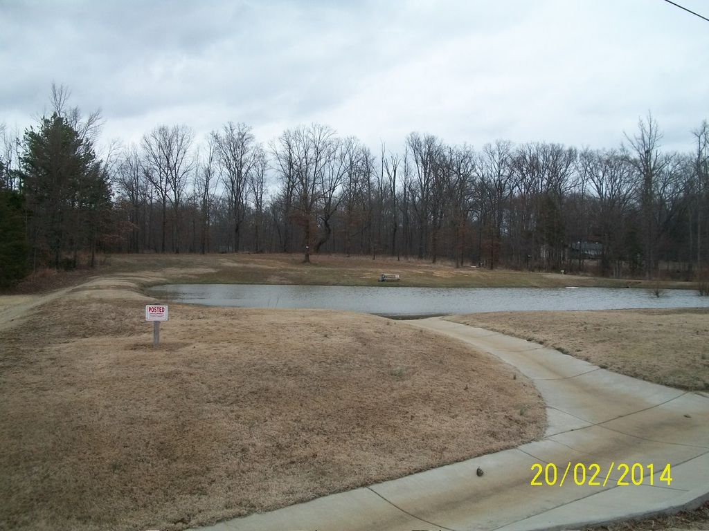
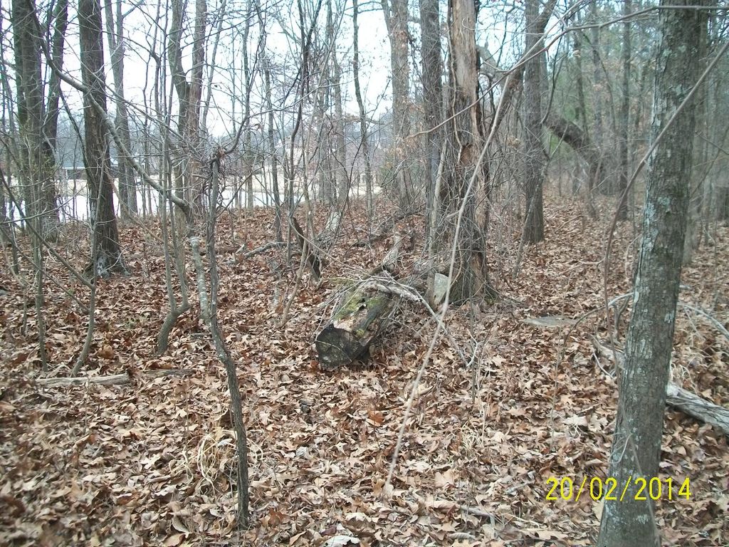
| Description | : | Directions: From Star Landing Rd. just east of I-55 turn north on Old Airways Rd. Turn east on Westmoreland Dr. and then turn North (lft) on Woodland Trace N. Across the street from 3415 Woodland Trace N., Southaven, MS is a community fishing pond. The cemetery is on top of the hill behind the pond more or less in line with the right hand bank of the pond. There is no obvious public access to the site except by walking past the pond. This is about a half a mile from where the old fire tower stood on Star Landing Rd. and is... Read More |
frequently asked questions (FAQ):
-
Where is Slaughter Cemetery?
Slaughter Cemetery is located at 3441 Woodland Trace N Southaven, DeSoto County ,Mississippi ,USA.
-
Slaughter Cemetery cemetery's updated grave count on graveviews.com?
0 memorials
-
Where are the coordinates of the Slaughter Cemetery?
Latitude: 34.9117790
Longitude: -89.9874530
Nearby Cemetories:
1. DeSoto Memorial Gardens
Southhaven, DeSoto County, USA
Coordinate: 34.9062800, -89.9784010
2. Greenview Memorial Gardens
Hernando, DeSoto County, USA
Coordinate: 34.8974920, -89.9981140
3. Oak Grove M.B. Church Cemetery
Nesbit, DeSoto County, USA
Coordinate: 34.8974750, -89.9982130
4. Avery Chapel Cemetery
Southaven, DeSoto County, USA
Coordinate: 34.9331550, -89.9755330
5. New Hope Baptist Church Cemetery
Southaven, DeSoto County, USA
Coordinate: 34.9322450, -89.9663540
6. Robinson Family Cemetery
Nesbit, DeSoto County, USA
Coordinate: 34.8876620, -90.0070020
7. Halliburton Baptist Church Cemetery
Nesbit, DeSoto County, USA
Coordinate: 34.9049750, -90.0237630
8. Nesbit Cemetery
Hernando, DeSoto County, USA
Coordinate: 34.8872010, -90.0108340
9. Bethlehem Baptist Church Cemetery
Hernando, DeSoto County, USA
Coordinate: 34.8747700, -89.9929200
10. Bethlehem Cemetery
Nesbit, DeSoto County, USA
Coordinate: 34.8742630, -89.9898520
11. Mount Olive CME Church Cemetery
Nesbit, DeSoto County, USA
Coordinate: 34.8889750, -89.9375850
12. Bridgforth Cemetery #2
Pleasant Hill, DeSoto County, USA
Coordinate: 34.8828770, -89.9420470
13. Bridgforth Family Cemetery #1
Southhaven, DeSoto County, USA
Coordinate: 34.9106680, -89.9289170
14. Twin Oaks Memorial Gardens
Southaven, DeSoto County, USA
Coordinate: 34.9645790, -89.9849180
15. Saint Mary MB Church Cemetery
Hernando, DeSoto County, USA
Coordinate: 34.8672700, -90.0287500
16. Shiloh MB Church Cemetery
Southhaven, DeSoto County, USA
Coordinate: 34.9203610, -89.9195120
17. New Bethlehem Church Cemetery
Horn Lake, DeSoto County, USA
Coordinate: 34.9332480, -90.0587720
18. New Bethany Cemetery
Hernando, DeSoto County, USA
Coordinate: 34.8531000, -89.9547000
19. Christian Church Cemetery
Hernando, DeSoto County, USA
Coordinate: 34.8608930, -89.9374030
20. Banks Family Cemetery
Hernando, DeSoto County, USA
Coordinate: 34.8487500, -89.9628060
21. Phoenix Cemetery
Southaven, DeSoto County, USA
Coordinate: 34.9776840, -89.9726020
22. Baker Family Cemetery
Pleasant Hill, DeSoto County, USA
Coordinate: 34.8793600, -89.9146300
23. Springfield M.B. Church Cemetery
Southaven, DeSoto County, USA
Coordinate: 34.9774760, -90.0168160
24. Johnston Family Cemetery
Nesbit, DeSoto County, USA
Coordinate: 34.8726210, -89.9128810


