
| Memorials | : | 1 |
| Location | : | Osawatomie, Miami County, USA |
| Coordinate | : | 38.6077000, -95.0648900 |
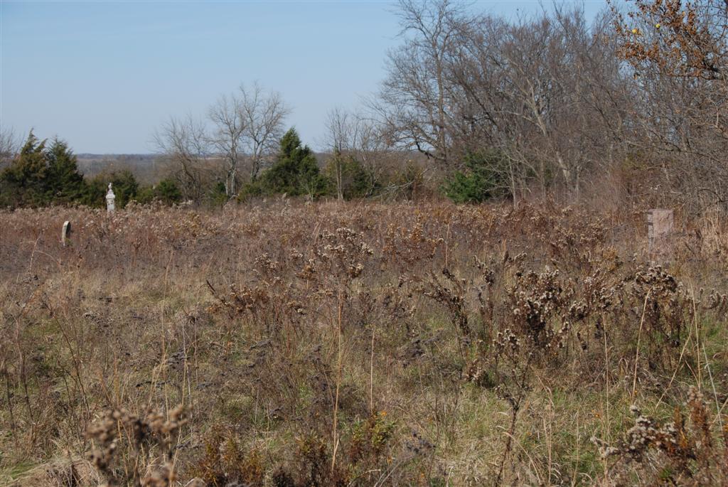
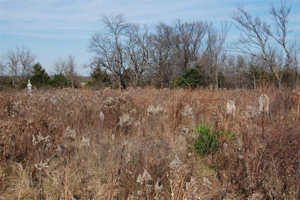
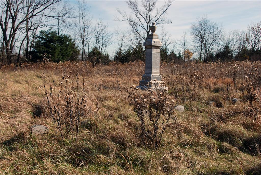
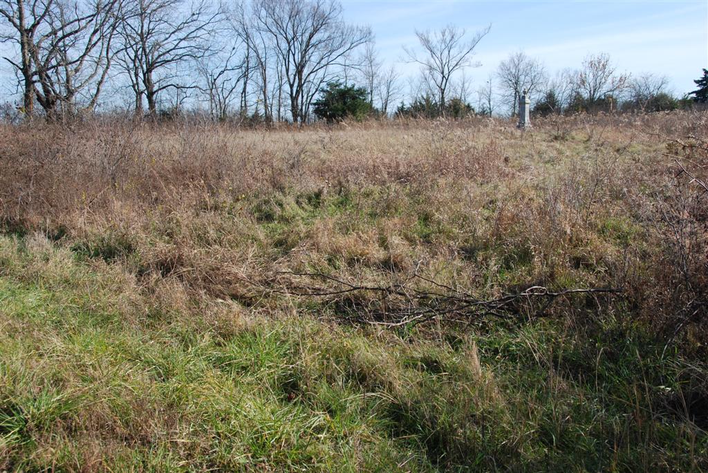
| Description | : | This cemetery was the original location of the New Hope Church, before it was destroyed in an arson fire in 1889. It is approximately 3.33 acres in the NW corner of the NW 1/4, S2 T17 R21. The New Hope Church was rebuilt 1 mile to the north, and 1 mile to the west of the cemetery, at the intersection of Highway 68 and Highway 33. Access is available only from 287th Street. |
frequently asked questions (FAQ):
-
Where is New Hope Cemetery?
New Hope Cemetery is located at Osawatomie, Miami County ,Kansas ,USA.
-
New Hope Cemetery cemetery's updated grave count on graveviews.com?
1 memorials
-
Where are the coordinates of the New Hope Cemetery?
Latitude: 38.6077000
Longitude: -95.0648900
Nearby Cemetories:
1. Pleasant Valley Cemetery
Stanton, Miami County, USA
Coordinate: 38.6222000, -95.0428009
2. Howard Cemetery
Franklin County, USA
Coordinate: 38.5872002, -95.1160965
3. Mannen Cemetery
Stanton, Miami County, USA
Coordinate: 38.5731010, -95.0113983
4. Stanton Cemetery
Stanton, Miami County, USA
Coordinate: 38.5426000, -95.0596100
5. Walnut Creek Cemetery
Franklin County, USA
Coordinate: 38.6733017, -95.0832977
6. Peoria Cemetery
Franklin County, USA
Coordinate: 38.6002998, -95.1564026
7. Davisson Cemetery
Peoria, Franklin County, USA
Coordinate: 38.5718600, -95.1584700
8. Ruhamah Cemetery
Rantoul, Franklin County, USA
Coordinate: 38.5350914, -95.1310425
9. Shively Cemetery
Rantoul, Franklin County, USA
Coordinate: 38.5159500, -95.0747400
10. Mount Vernon Cemetery
Franklin County, USA
Coordinate: 38.5519240, -95.1627160
11. Thayer Cemetery
Franklin County, USA
Coordinate: 38.6612700, -95.1762200
12. Scott Valley Cemetery
Paola, Miami County, USA
Coordinate: 38.6521400, -94.9374200
13. Rock Creek Cemetery
Antioch, Miami County, USA
Coordinate: 38.7099991, -95.0156021
14. Ottawa Indian Mission Burying Ground
Franklin County, USA
Coordinate: 38.6333008, -95.2055969
15. Wellsville Cemetery
Wellsville, Franklin County, USA
Coordinate: 38.7174988, -95.1025009
16. Miami County Poor Farm Cemetery
Paola, Miami County, USA
Coordinate: 38.5943420, -94.9193018
17. Indianapolis Cemetery
Osawatomie, Miami County, USA
Coordinate: 38.5046997, -94.9931030
18. Fouts Cemetery
Ottawa, Franklin County, USA
Coordinate: 38.5800018, -95.2166977
19. Osawatomie Cemetery
Osawatomie, Miami County, USA
Coordinate: 38.5355988, -94.9377975
20. Chilton Family Cemetery
Edgerton, Johnson County, USA
Coordinate: 38.7236800, -94.9819300
21. Miami Memorial Gardens
Paola, Miami County, USA
Coordinate: 38.5337100, -94.9221400
22. Oakwood Cemetery
Osawatomie, Miami County, USA
Coordinate: 38.5024300, -94.9510300
23. Green Valley Cemetery
Miami County, USA
Coordinate: 38.4700012, -95.0472031
24. Brown Cemetery
Osawatomie, Miami County, USA
Coordinate: 38.4980300, -94.9566500