
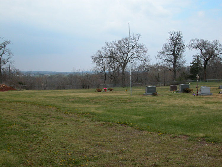
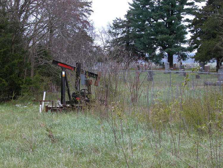
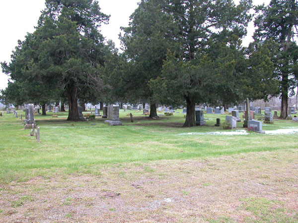
| Memorials | : | 94 |
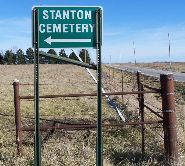
| Location | : | Stanton, Miami County, USA |
| Coordinate | : | 38.5426000, -95.0596100 |
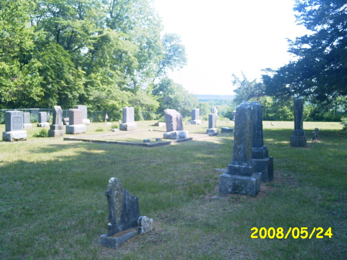
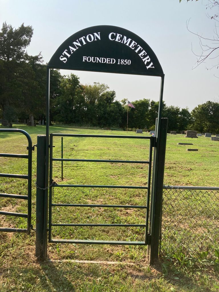
| Description | : | About 1/4 mile west of Stanton Road on 323rd Street. The sign says dead end but plenty of room to turn around. There is no sign at the cemetery itself just out at the road. |
frequently asked questions (FAQ):
-
Where is Stanton Cemetery?
Stanton Cemetery is located at Stanton, Miami County ,Kansas ,USA.
-
Stanton Cemetery cemetery's updated grave count on graveviews.com?
91 memorials
-
Where are the coordinates of the Stanton Cemetery?
Latitude: 38.5426000
Longitude: -95.0596100
Nearby Cemetories:
1. Shively Cemetery
Rantoul, Franklin County, USA
Coordinate: 38.5159500, -95.0747400
2. Mannen Cemetery
Stanton, Miami County, USA
Coordinate: 38.5731010, -95.0113983
3. Ruhamah Cemetery
Rantoul, Franklin County, USA
Coordinate: 38.5350914, -95.1310425
4. Howard Cemetery
Franklin County, USA
Coordinate: 38.5872002, -95.1160965
5. Indianapolis Cemetery
Osawatomie, Miami County, USA
Coordinate: 38.5046997, -94.9931030
6. New Hope Cemetery
Osawatomie, Miami County, USA
Coordinate: 38.6077000, -95.0648900
7. Green Valley Cemetery
Miami County, USA
Coordinate: 38.4700012, -95.0472031
8. Pleasant Valley Cemetery
Stanton, Miami County, USA
Coordinate: 38.6222000, -95.0428009
9. Mount Vernon Cemetery
Franklin County, USA
Coordinate: 38.5519240, -95.1627160
10. Davisson Cemetery
Peoria, Franklin County, USA
Coordinate: 38.5718600, -95.1584700
11. Needham Cemetery
Lane, Franklin County, USA
Coordinate: 38.4700012, -95.1231003
12. Myers Cemetery
Lane, Franklin County, USA
Coordinate: 38.4578820, -95.0935150
13. Brown Cemetery
Osawatomie, Miami County, USA
Coordinate: 38.4980300, -94.9566500
14. Oakwood Cemetery
Osawatomie, Miami County, USA
Coordinate: 38.5024300, -94.9510300
15. Peoria Cemetery
Franklin County, USA
Coordinate: 38.6002998, -95.1564026
16. Osawatomie Cemetery
Osawatomie, Miami County, USA
Coordinate: 38.5355988, -94.9377975
17. Lane Cemetery
Lane, Franklin County, USA
Coordinate: 38.4411011, -95.0699997
18. Ray Cemetery
Franklin County, USA
Coordinate: 38.4927140, -95.1754620
19. Elmdale Cemetery
Osawatomie, Miami County, USA
Coordinate: 38.5017014, -94.9381027
20. Osawatomie State Hospital Burial Ground
Osawatomie, Miami County, USA
Coordinate: 38.5128600, -94.9326300
21. Spring Grove Quaker Cemetery
Miami County, USA
Coordinate: 38.4409600, -95.0185100
22. Miami Memorial Gardens
Paola, Miami County, USA
Coordinate: 38.5337100, -94.9221400
23. Crescent Hill Cemetery
Osawatomie, Miami County, USA
Coordinate: 38.4513700, -94.9705800
24. Sturgeon Cemetery
Lane, Franklin County, USA
Coordinate: 38.4376100, -95.1254100