| Memorials | : | 0 |
| Location | : | Bensonhurst, Kings County (Brooklyn), USA |
| Coordinate | : | 40.6107900, -74.0058700 |
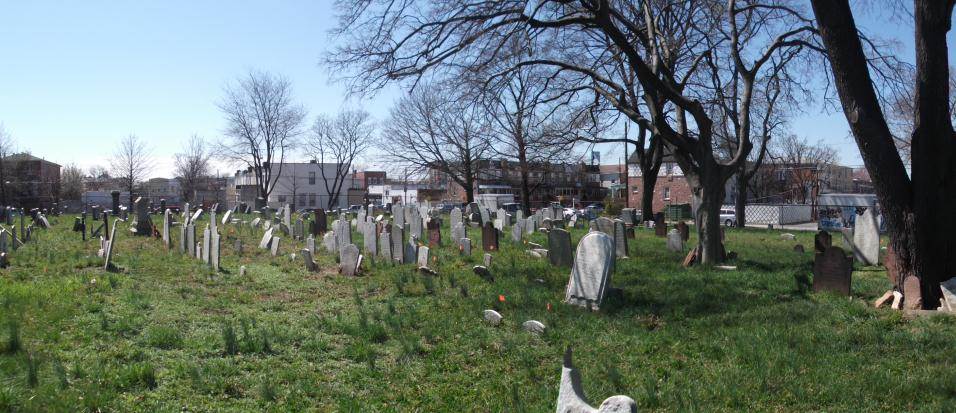
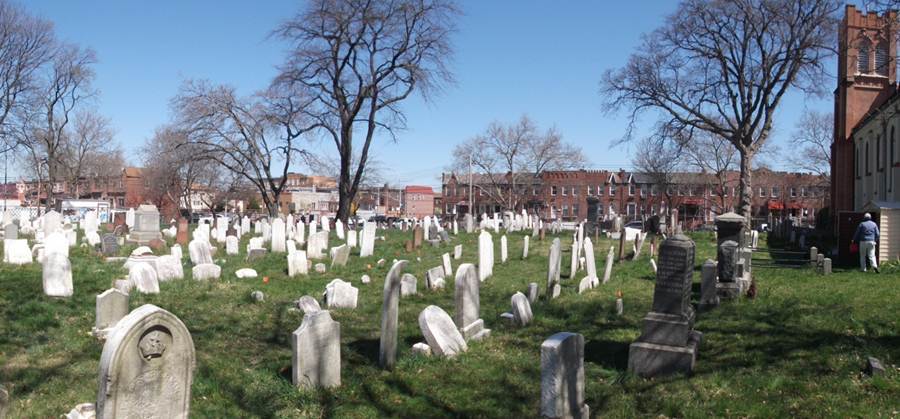
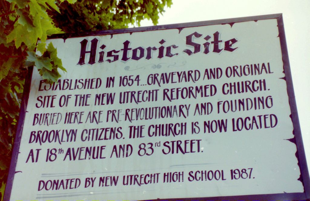
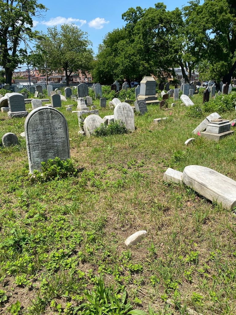
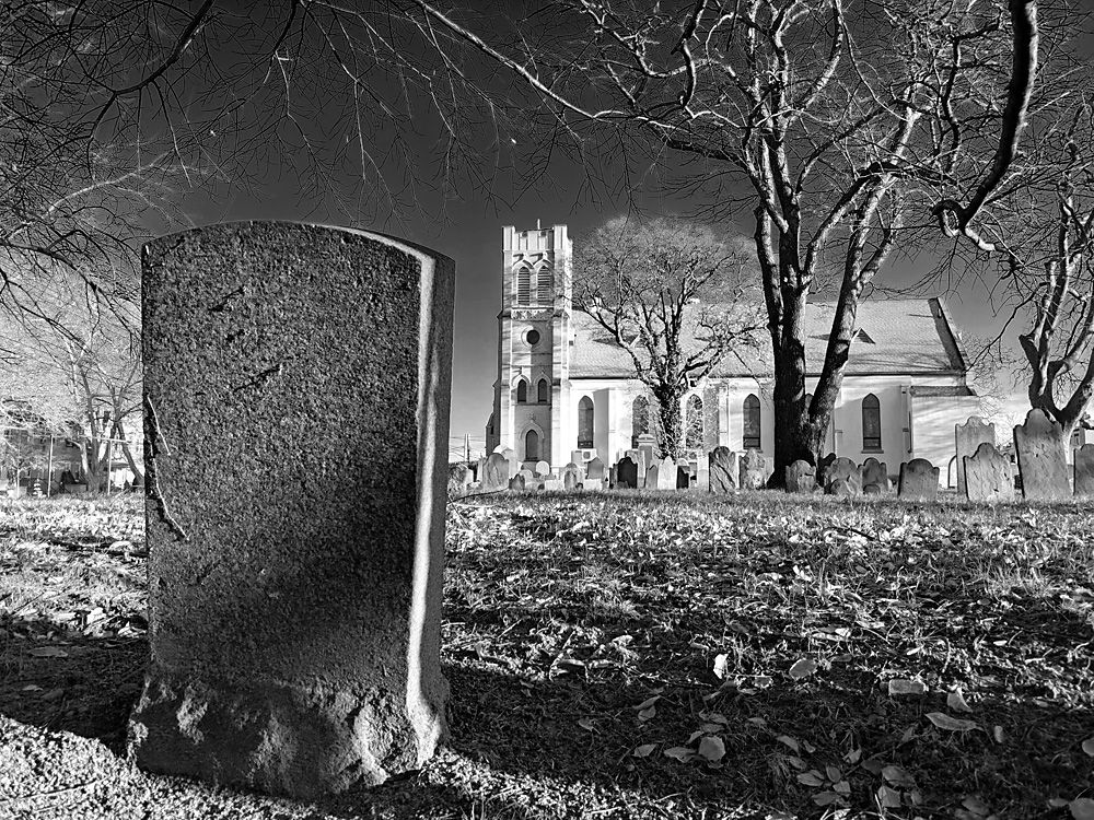
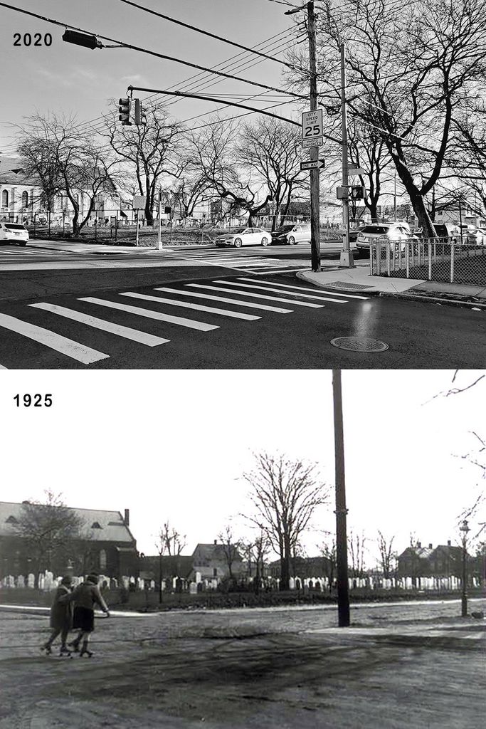
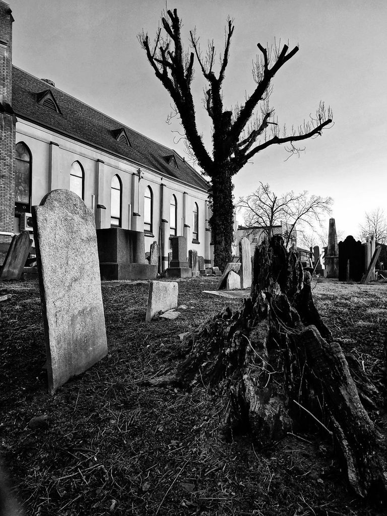
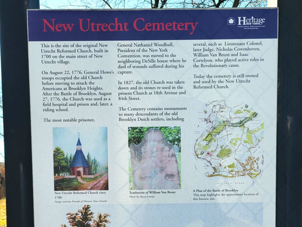
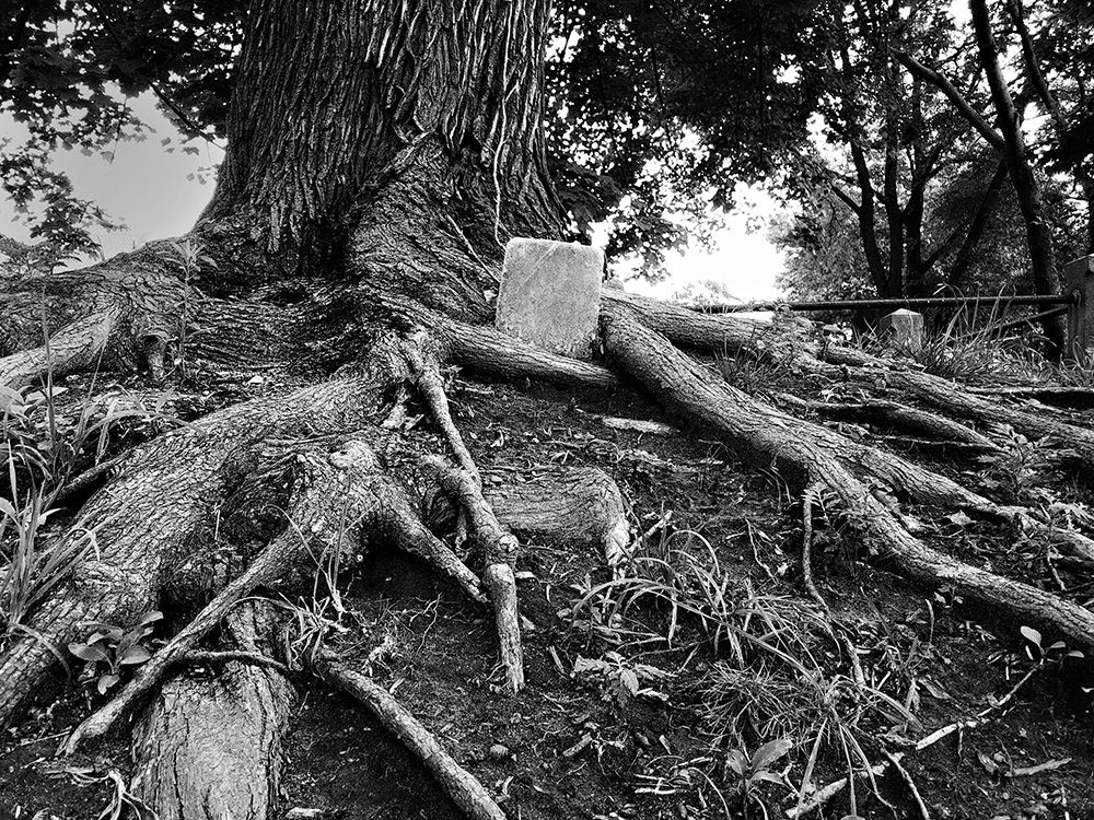
| Description | : | The village of New Utrecht was established in 1652 by Dutch colonists in what is today Bensonhurst, Brooklyn, New York. New Utrecht Cemetery was established on the broad main street of the village and its earliest recorded burial was in 1654. The New Utrecht (Dutch) Reformed Church was built alongside the cemetery in 1700. In 1828, to better accommodate the growing community, the church structure was dismantled and its stones were used to build a new church at 18th Avenue and 84th Street. Today, approximately 1,300 individuals are interred in New Utrecht Cemetery. The cemetery also contains a communal... Read More |
frequently asked questions (FAQ):
-
Where is New Utrecht Cemetery?
New Utrecht Cemetery is located at 16th Avenue & 84th Street Bensonhurst, Kings County (Brooklyn) ,New York ,USA.
-
New Utrecht Cemetery cemetery's updated grave count on graveviews.com?
0 memorials
-
Where are the coordinates of the New Utrecht Cemetery?
Latitude: 40.6107900
Longitude: -74.0058700
Nearby Cemetories:
1. Saint Johns Episcopal Church Columbarium
Bay Ridge, Kings County (Brooklyn), USA
Coordinate: 40.6128890, -74.0313520
2. Washington Cemetery
Brooklyn, Kings County (Brooklyn), USA
Coordinate: 40.6192017, -73.9757996
3. Grace Methodist Episcopal Church Cemetery
Bay Ridge, Kings County (Brooklyn), USA
Coordinate: 40.6344190, -74.0174060
4. Christ Church Bay Ridge Columbarium
Brooklyn, Kings County (Brooklyn), USA
Coordinate: 40.6330720, -74.0294720
5. Gravesend Cemetery
Brooklyn, Kings County (Brooklyn), USA
Coordinate: 40.5943985, -73.9749985
6. Christ Episcopal Church Columbarium
Bay Ridge, Kings County (Brooklyn), USA
Coordinate: 40.6330372, -74.0296246
7. Van Sicklen Family Cemetery
Gravesend, Kings County (Brooklyn), USA
Coordinate: 40.5950546, -73.9742126
8. Barkaloo Cemetery
Brooklyn, Kings County (Brooklyn), USA
Coordinate: 40.6367700, -74.0346500
9. Brooklyn Wall of Remembrance
Brooklyn, Kings County (Brooklyn), USA
Coordinate: 40.5739880, -73.9848350
10. Coney Island Museum
Coney Island, Kings County (Brooklyn), USA
Coordinate: 40.5754430, -73.9799330
11. Van Deventer Family Burial Ground
Fort Wadsworth, Richmond County (Staten Island), USA
Coordinate: 40.6018710, -74.0594250
12. Green-Wood Cemetery
Brooklyn, Kings County (Brooklyn), USA
Coordinate: 40.6521988, -73.9910965
13. Major McCarthy Monument
Brooklyn, Kings County (Brooklyn), USA
Coordinate: 40.6172200, -73.9439200
14. Garibaldi-Meucci Museum
Staten Island, Richmond County (Staten Island), USA
Coordinate: 40.6152230, -74.0738583
15. Flatbush Reformed Dutch Church Cemetery
Flatbush, Kings County (Brooklyn), USA
Coordinate: 40.6499977, -73.9592285
16. Father Kehoe Triangle
Flatlands, Kings County (Brooklyn), USA
Coordinate: 40.6204300, -73.9368100
17. Flatlands Dutch Reformed Church Cemetery
Brooklyn, Kings County (Brooklyn), USA
Coordinate: 40.6234970, -73.9358139
18. Friends Quaker Cemetery
Brooklyn, Kings County (Brooklyn), USA
Coordinate: 40.6593933, -73.9720764
19. Seamans Retreat Cemetery
Clifton, Richmond County (Staten Island), USA
Coordinate: 40.6210780, -74.0793590
20. Saint Pauls Memorial Church Memorial Garden
Stapleton, Richmond County (Staten Island), USA
Coordinate: 40.6324010, -74.0789740
21. Saint Mary's Catholic Cemetery
Grasmere, Richmond County (Staten Island), USA
Coordinate: 40.5954100, -74.0819700
22. Maryland Monument
Brooklyn, Kings County (Brooklyn), USA
Coordinate: 40.6661860, -73.9692310
23. Marine Hospital Quarantine Cemetery
Richmond, Richmond County (Staten Island), USA
Coordinate: 40.6414530, -74.0775400
24. Holy Cross Cemetery
East Flatbush, Kings County (Brooklyn), USA
Coordinate: 40.6469002, -73.9383011

