
| Memorials | : | 7 |
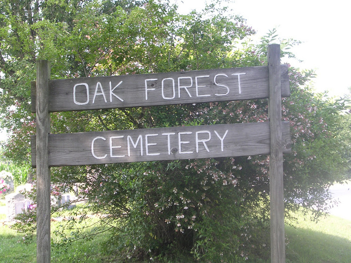
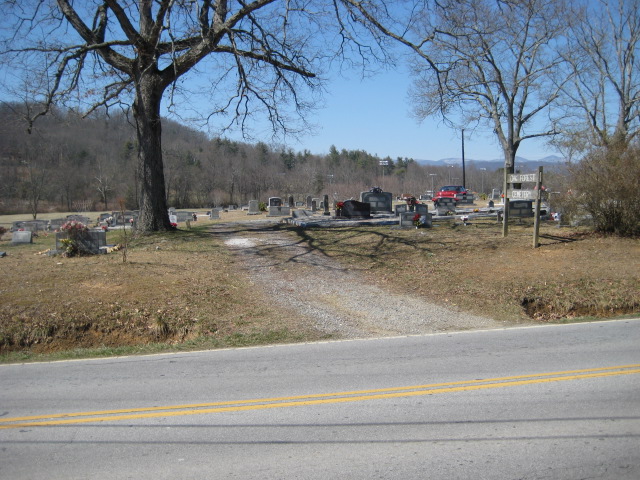
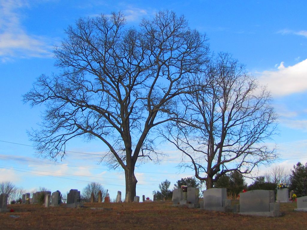
| Location | : | Etowah, Henderson County, USA |
| Coordinate | : | 35.3081017, -82.5858002 |
| Description | : | From Hendersonville, go west on Highway 64 (Brevard Road) to Etowah. Just west of the railroad tracks, turn left on Old Highway 64 (State Route 1203) and go less than 1/10 mile. Turn left on Etowah School Road (State Route 1205). Go 0.9 miles and the cemetery is on the right side of the road. |
frequently asked questions (FAQ):
-
Where is Oak Forest Cemetery?
Oak Forest Cemetery is located at Etowah, Henderson County ,North Carolina ,USA.
-
Oak Forest Cemetery cemetery's updated grave count on graveviews.com?
6 memorials
-
Where are the coordinates of the Oak Forest Cemetery?
Latitude: 35.3081017
Longitude: -82.5858002
Nearby Cemetories:
1. Thomas Fletcher Cemetery
Etowah, Henderson County, USA
Coordinate: 35.2969017, -82.5947037
2. Old Beulah Cemetery
Henderson County, USA
Coordinate: 35.2961006, -82.6082993
3. Pleasant Grove Cemetery
Etowah, Henderson County, USA
Coordinate: 35.2888985, -82.5999985
4. Beulah Baptist Church Cemetery
Henderson County, USA
Coordinate: 35.3041992, -82.5580978
5. Follies Cemeteries
Etowah, Henderson County, USA
Coordinate: 35.2660600, -82.5817900
6. Sentell Family Cemetery
Henderson County, USA
Coordinate: 35.2752991, -82.5468979
7. Jeremiah Osborne Cemetery
Horse Shoe, Henderson County, USA
Coordinate: 35.3527400, -82.5551720
8. Sentell Cemetery
Henderson County, USA
Coordinate: 35.2593994, -82.6061020
9. Boylston Baptist Church Cemetery
Mills River, Henderson County, USA
Coordinate: 35.3296013, -82.6430969
10. Brown Family Cemetery
Henderson County, USA
Coordinate: 35.2779600, -82.5336300
11. Shaws Creek Methodist Campground Cemetery
Horse Shoe, Henderson County, USA
Coordinate: 35.3437996, -82.5345001
12. Piney Grove Cemetery
Penrose, Transylvania County, USA
Coordinate: 35.2629800, -82.6318300
13. Anderson Cemetery
Henderson County, USA
Coordinate: 35.2502000, -82.6002300
14. Crab Creek Church Cemetery
Henderson County, USA
Coordinate: 35.2536490, -82.5572710
15. McCall Cemetery
Transylvania County, USA
Coordinate: 35.2569008, -82.6268997
16. Old French Broad Baptist Church
Rugby, Henderson County, USA
Coordinate: 35.3588340, -82.5418500
17. Cantrell Family Cemetery
Henderson County, USA
Coordinate: 35.2869119, -82.5096819
18. Hoxit Family Cemetery
Henderson County, USA
Coordinate: 35.2409400, -82.5958000
19. Holly Springs Baptist Church Cemetery
Henderson County, USA
Coordinate: 35.2406960, -82.5968940
20. Saint Francis Chapel Memorial Garden
Henderson County, USA
Coordinate: 35.2641670, -82.5200440
21. Crab Creek Baptist Church Cemetery
Henderson County, USA
Coordinate: 35.2454987, -82.5476990
22. Mills River Presbyterian Church Cemetery
Mills River, Henderson County, USA
Coordinate: 35.3777733, -82.5728073
23. Osborne Cemetery
Penrose, Transylvania County, USA
Coordinate: 35.2546997, -82.6446991
24. Shaws Creek Baptist Church Cemetery
Horse Shoe, Henderson County, USA
Coordinate: 35.3231010, -82.4983978