
| Memorials | : | 0 |
| Location | : | Horse Shoe, Henderson County, USA |
| Coordinate | : | 35.3527400, -82.5551720 |
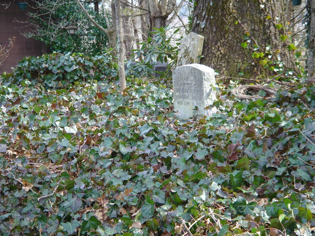
| Description | : | Located off Banner Farm Road in the Horse Shoe community. The driveway is .3 mile south of Warlick Road. The cemetery is located directly in front of a house. This cemetery is located on private property and access is from a private driveway. Permission must be obtained from the property owner prior to visitation. |
frequently asked questions (FAQ):
-
Where is Jeremiah Osborne Cemetery?
Jeremiah Osborne Cemetery is located at Horse Shoe, Henderson County ,North Carolina ,USA.
-
Jeremiah Osborne Cemetery cemetery's updated grave count on graveviews.com?
0 memorials
-
Where are the coordinates of the Jeremiah Osborne Cemetery?
Latitude: 35.3527400
Longitude: -82.5551720
Nearby Cemetories:
1. Old French Broad Baptist Church
Rugby, Henderson County, USA
Coordinate: 35.3588340, -82.5418500
2. Shaws Creek Methodist Campground Cemetery
Horse Shoe, Henderson County, USA
Coordinate: 35.3437996, -82.5345001
3. Mills River Presbyterian Church Cemetery
Mills River, Henderson County, USA
Coordinate: 35.3777733, -82.5728073
4. Mill Pond Cemetery
Rugby, Henderson County, USA
Coordinate: 35.3666992, -82.5239029
5. Mills River United Methodist Church
Mills River, Henderson County, USA
Coordinate: 35.3843620, -82.5770620
6. McCarson Cemetery
Henderson County, USA
Coordinate: 35.3442001, -82.5021973
7. Henderson County Home Cemetery
Henderson County, USA
Coordinate: 35.3535480, -82.4986540
8. Jones Cemetery
Mills River, Henderson County, USA
Coordinate: 35.3988991, -82.5456009
9. Beulah Baptist Church Cemetery
Henderson County, USA
Coordinate: 35.3041992, -82.5580978
10. Shepherd Memorial Park
Naples, Henderson County, USA
Coordinate: 35.3835351, -82.5067129
11. Oak Forest Cemetery
Etowah, Henderson County, USA
Coordinate: 35.3081017, -82.5858002
12. Shaws Creek Baptist Church Cemetery
Horse Shoe, Henderson County, USA
Coordinate: 35.3231010, -82.4983978
13. Sycamore Family Cemetery
Mills River, Henderson County, USA
Coordinate: 35.3828011, -82.6175003
14. Mount Gilead Baptist Cemetery
Mills River, Henderson County, USA
Coordinate: 35.4107018, -82.5729980
15. Sitton-Gillespie Cemetery
Henderson County, USA
Coordinate: 35.3753014, -82.6235962
16. Bryson Family Cemetery
Mills River, Henderson County, USA
Coordinate: 35.3942890, -82.6099920
17. McCrary Family Cemetery
Henderson County, USA
Coordinate: 35.3366776, -82.4810562
18. Saint Matthews Cemetery
Hillgirt, Henderson County, USA
Coordinate: 35.3683014, -82.4792023
19. Thomas Fletcher Cemetery
Etowah, Henderson County, USA
Coordinate: 35.2969017, -82.5947037
20. Whitaker Cemetery
Henderson County, USA
Coordinate: 35.3889008, -82.6207962
21. Carolina Memorial Sanctuary
Mills River, Henderson County, USA
Coordinate: 35.4202480, -82.5632190
22. All Saints Anglican Church Memorial Garden
Mills River, Henderson County, USA
Coordinate: 35.4185900, -82.5763400
23. First Congregational Church Memorial Garden
Hendersonville, Henderson County, USA
Coordinate: 35.3151530, -82.4841940
24. Fanning Chapel Methodist Cemetery
Mills River, Henderson County, USA
Coordinate: 35.4204200, -82.5732700