
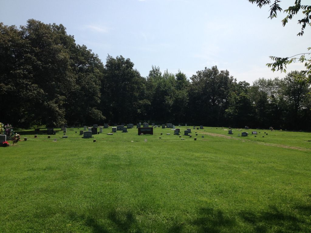
| Memorials | : | 16 |
| Location | : | La Center, Ballard County, USA |
| Coordinate | : | 37.0855500, -88.9013700 |
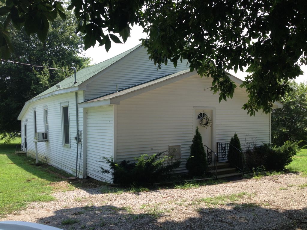
| Description | : | The full name of this cemetery is Oak Grove Missionary Baptist Church Cemetery (Black). ----- Directions: Take Highway 60 west from Paducah to the caution light at Wallace Ave in Kevil. Continue straight on Highway 60 6/10ths of a mile before turning right onto Clarkline Road. After 2/10ths of a mile, turn left onto Oak Grove Church Lane. Cemetery is 1/10th of a mile on the left. Source: The book, "Ballard County, Kentucky Cemeteries", Volume VI, pages 46-52. |
frequently asked questions (FAQ):
-
Where is Oak Grove Cemetery?
Oak Grove Cemetery is located at La Center, Ballard County ,Kentucky ,USA.
-
Oak Grove Cemetery cemetery's updated grave count on graveviews.com?
12 memorials
-
Where are the coordinates of the Oak Grove Cemetery?
Latitude: 37.0855500
Longitude: -88.9013700
Nearby Cemetories:
1. Moore Family Cemetery
Kevil, Ballard County, USA
Coordinate: 37.0746417, -88.9031750
2. Shelby Cemetery
Kevil, Ballard County, USA
Coordinate: 37.0739270, -88.9211470
3. Woodville Cemetery
Woodville, McCracken County, USA
Coordinate: 37.0947990, -88.8707962
4. Rollings Cemetery
Hinkleville, Ballard County, USA
Coordinate: 37.0505490, -88.9177200
5. Bethel Christian Church Cemetery
McCracken County, USA
Coordinate: 37.0927170, -88.8548790
6. Helm Family Cemetery
West Paducah, McCracken County, USA
Coordinate: 37.1163900, -88.8705400
7. Stone Cemetery
McCracken County, USA
Coordinate: 37.0802994, -88.8506012
8. Vance Cemetery
Ballard County, USA
Coordinate: 37.0449982, -88.9158020
9. Mount Pleasant Church Cemetery
La Center, Ballard County, USA
Coordinate: 37.1108017, -88.9461975
10. Hines Cemetery
Ballard County, USA
Coordinate: 37.0499992, -88.9428024
11. Pleasant Hill United Methodist Church Cemetery
Hinkleville, Ballard County, USA
Coordinate: 37.0443993, -88.9417038
12. Hobbs Cemetery
McCracken County, USA
Coordinate: 37.0882416, -88.8352432
13. Miles Cemetery
Bandana, Ballard County, USA
Coordinate: 37.1264000, -88.9456024
14. Campbell Cemetery
West Paducah, McCracken County, USA
Coordinate: 37.1397290, -88.8938140
15. Newton Cemetery
Ballard County, USA
Coordinate: 37.0339012, -88.9308014
16. LaCenter Gardens Cemetery
La Center, Ballard County, USA
Coordinate: 37.0813750, -88.9724110
17. Saint Marys Cemetery
La Center, Ballard County, USA
Coordinate: 37.0801220, -88.9730790
18. Spring Bayou Baptist Church Cemetery
McCracken County, USA
Coordinate: 37.0887184, -88.8254471
19. ODonley Cemetery
Ballard County, USA
Coordinate: 37.0231018, -88.8930969
20. Hook Cemetery
Kevil, Ballard County, USA
Coordinate: 37.0257876, -88.8747915
21. Holland Cemetery
Future City, McCracken County, USA
Coordinate: 37.0566500, -88.8284100
22. Terrell Cemetery
La Center, Ballard County, USA
Coordinate: 37.0564003, -88.9783020
23. Little Union Cemetery
Bandana, Ballard County, USA
Coordinate: 37.1458900, -88.9411400
24. Antioch Baptist Cemetery
Ballard County, USA
Coordinate: 37.0281840, -88.9524260