
| Memorials | : | 4 |
| Location | : | McCracken County, USA |
| Coordinate | : | 37.0887184, -88.8254471 |
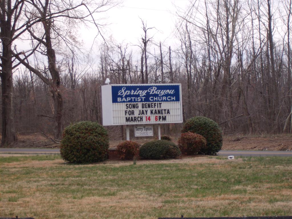
| Description | : | Cemetery contact: Richard B. Davis Directions: Coming from Interstate 24, get off at Exit 4 (US-60) and travel west on US-60 approximately 9-12 miles to the stop light at the junction with KY-1154. Turning right onto KY-1154, travel north approximately 2 miles to the intersection with KY-725 (also known as Woodville Road). Turning left at the flashing caution light onto KY-725, travel 0.2 miles and the Spring Bayou Baptist Church is located on the left side of KY-725 at the junction with a county road named "Old Hobbs Road". Travelers will be able to see the church from the left... Read More |
frequently asked questions (FAQ):
-
Where is Spring Bayou Baptist Church Cemetery?
Spring Bayou Baptist Church Cemetery is located at McCracken County ,Kentucky ,USA.
-
Spring Bayou Baptist Church Cemetery cemetery's updated grave count on graveviews.com?
4 memorials
-
Where are the coordinates of the Spring Bayou Baptist Church Cemetery?
Latitude: 37.0887184
Longitude: -88.8254471
Nearby Cemetories:
1. Hobbs Cemetery
McCracken County, USA
Coordinate: 37.0882416, -88.8352432
2. Stone Cemetery
McCracken County, USA
Coordinate: 37.0802994, -88.8506012
3. Bald Knob Cemetery
Future City, McCracken County, USA
Coordinate: 37.0684600, -88.8145500
4. Kelley Cemetery
McCracken County, USA
Coordinate: 37.0682983, -88.8139038
5. Bethel Christian Church Cemetery
McCracken County, USA
Coordinate: 37.0927170, -88.8548790
6. Heath High School Grounds
Paducah, McCracken County, USA
Coordinate: 37.0789740, -88.7945210
7. Holland Cemetery
Future City, McCracken County, USA
Coordinate: 37.0566500, -88.8284100
8. Woodville Cemetery
Woodville, McCracken County, USA
Coordinate: 37.0947990, -88.8707962
9. Moody Cemetery
Paducah, McCracken County, USA
Coordinate: 37.0841690, -88.7795830
10. Oddfellow Cemetery
Heath, McCracken County, USA
Coordinate: 37.0533230, -88.8117960
11. McKendree United Methodist Church Cemetery
Heath, McCracken County, USA
Coordinate: 37.0525360, -88.8122800
12. Harmony Cemetery
McCracken County, USA
Coordinate: 37.1217003, -88.8019028
13. Graham Cemetery
McCracken County, USA
Coordinate: 37.1088982, -88.7797012
14. Boldry Cemetery
Grahamville, McCracken County, USA
Coordinate: 37.1195290, -88.7893900
15. Rives Cemetery
McCracken County, USA
Coordinate: 37.0671997, -88.7799988
16. Griffith Cemetery
Grahamville, McCracken County, USA
Coordinate: 37.1144860, -88.7819660
17. Cowlin Cemetery
McCracken County, USA
Coordinate: 37.0886002, -88.7699966
18. Saint Thomas Cemetery
McCracken County, USA
Coordinate: 37.0682983, -88.7746964
19. Helm Family Cemetery
West Paducah, McCracken County, USA
Coordinate: 37.1163900, -88.8705400
20. Quarles Cemetery
McCracken County, USA
Coordinate: 37.0694008, -88.7671967
21. Martin Cemetery
McCracken County, USA
Coordinate: 37.1408005, -88.8221970
22. Hopper Cemetery
McCracken County, USA
Coordinate: 37.1380997, -88.7885971
23. Palestine Cemetery
West Paducah, McCracken County, USA
Coordinate: 37.0997009, -88.7528000
24. Oak Grove Cemetery
La Center, Ballard County, USA
Coordinate: 37.0855500, -88.9013700