
| Memorials | : | 8255 |
| Location | : | Lexington, Lexington City, USA |
| Phone | : | 540-463-2931 |
| Website | : | lexingtonvirginia.com/directory/attractions/oak-grove-cemetery |
| Coordinate | : | 37.7808300, -79.4450600 |
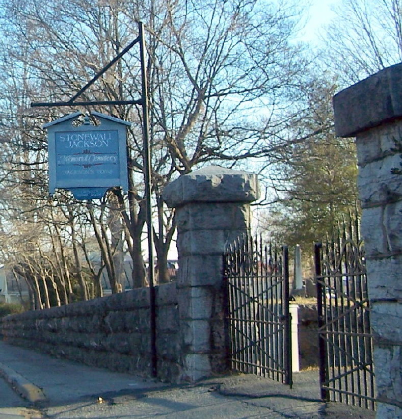
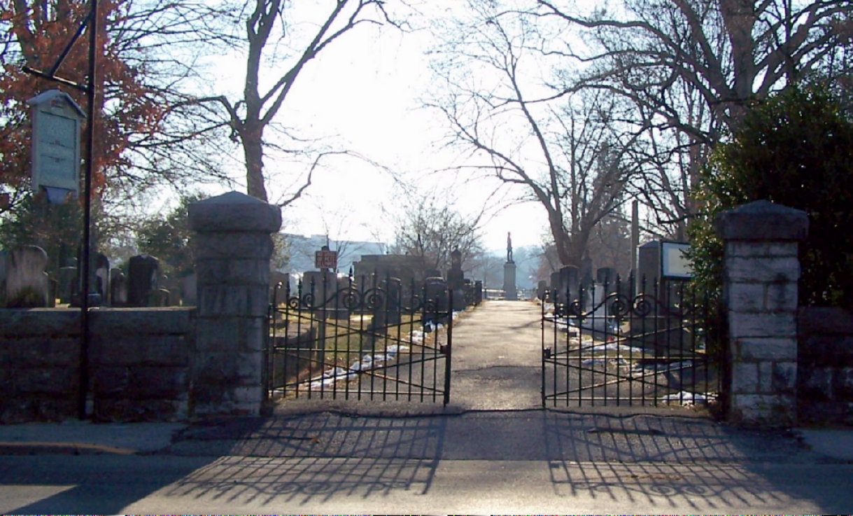
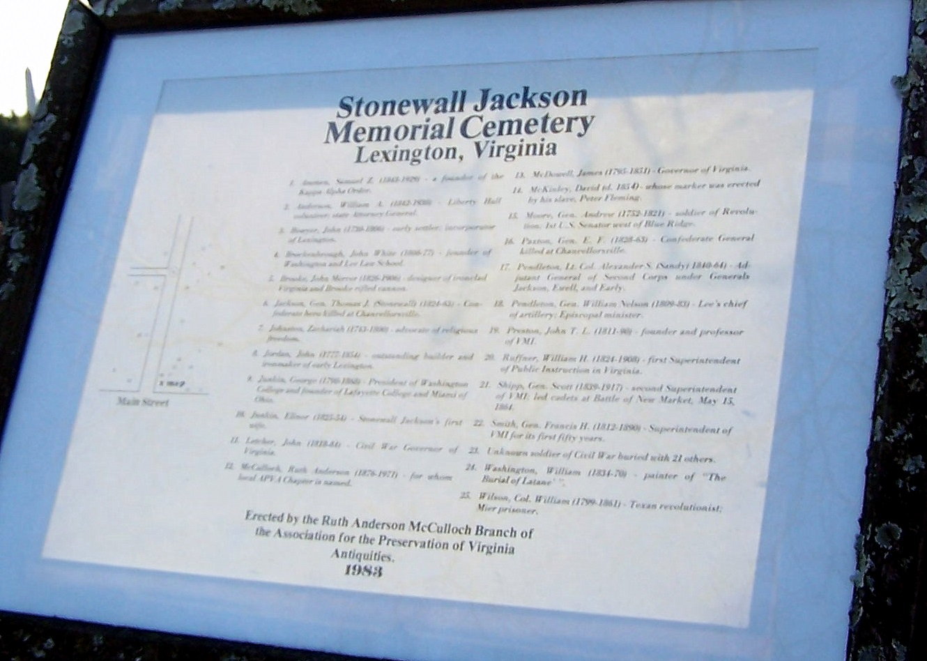
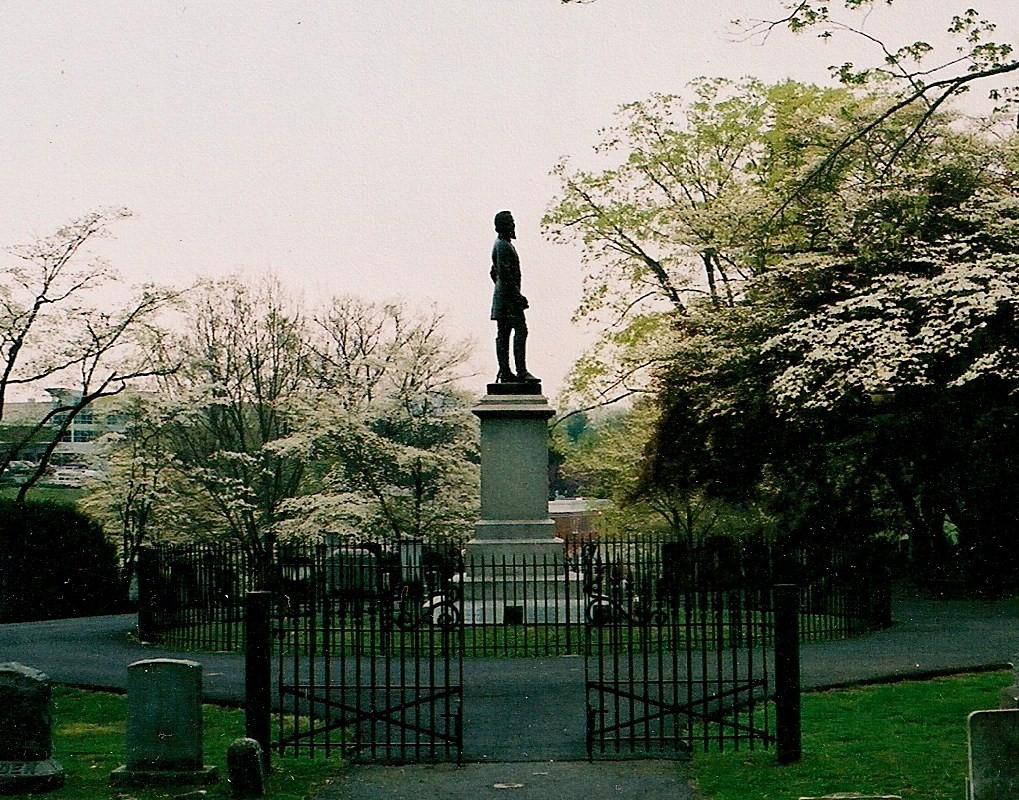
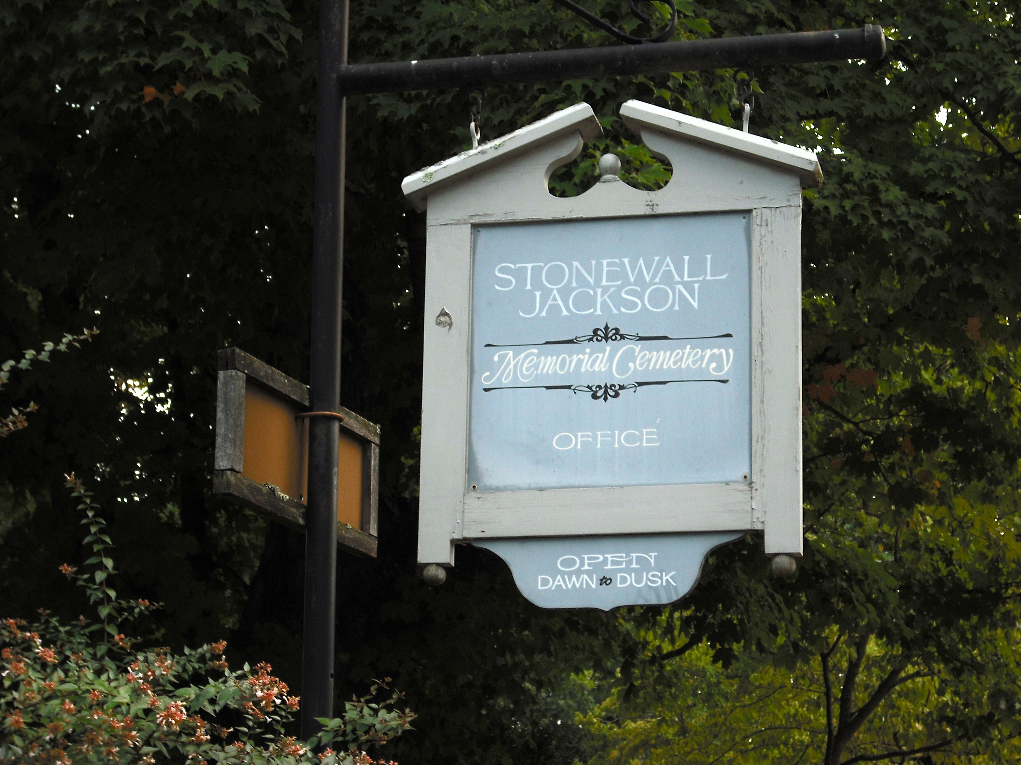
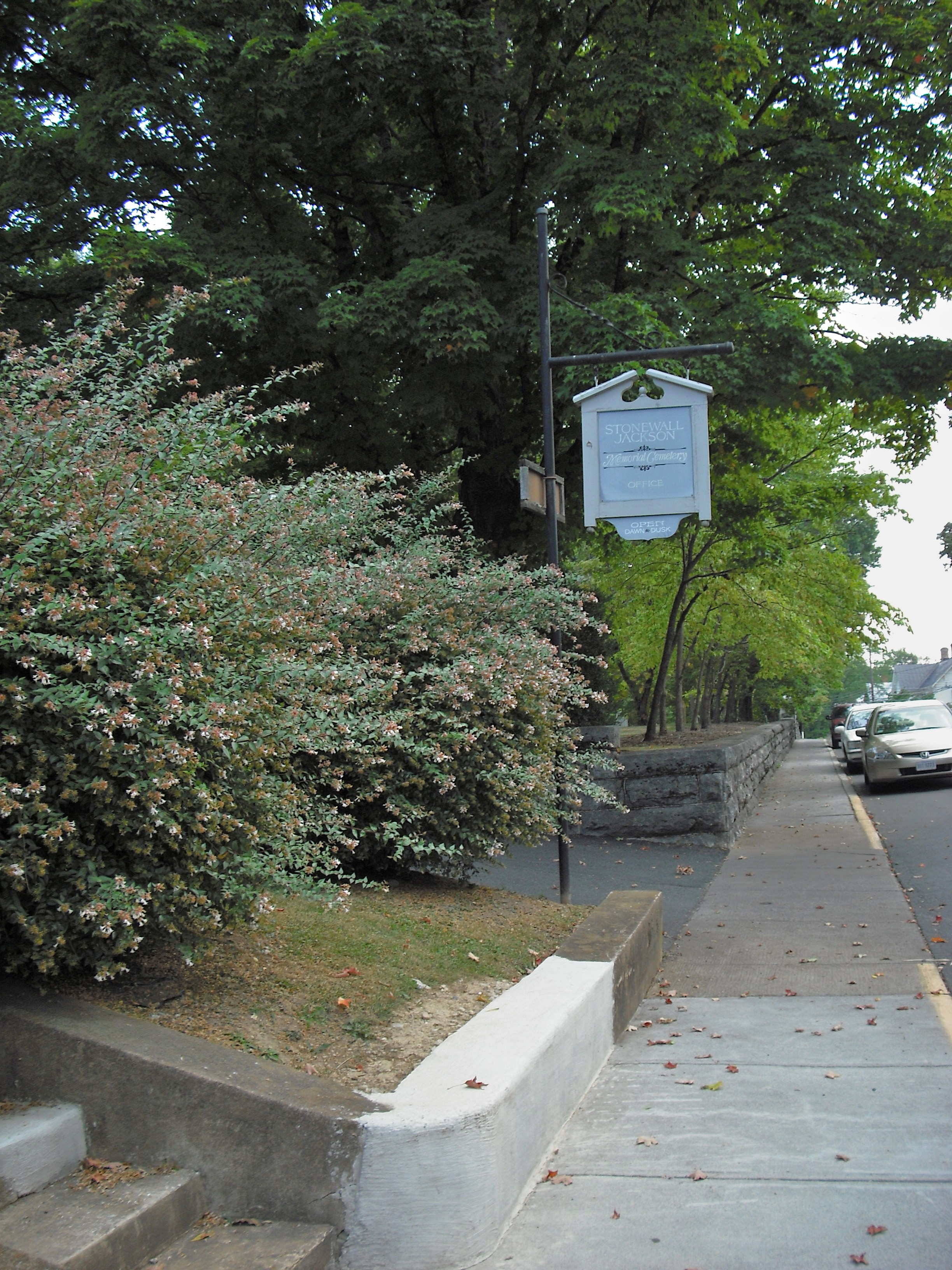
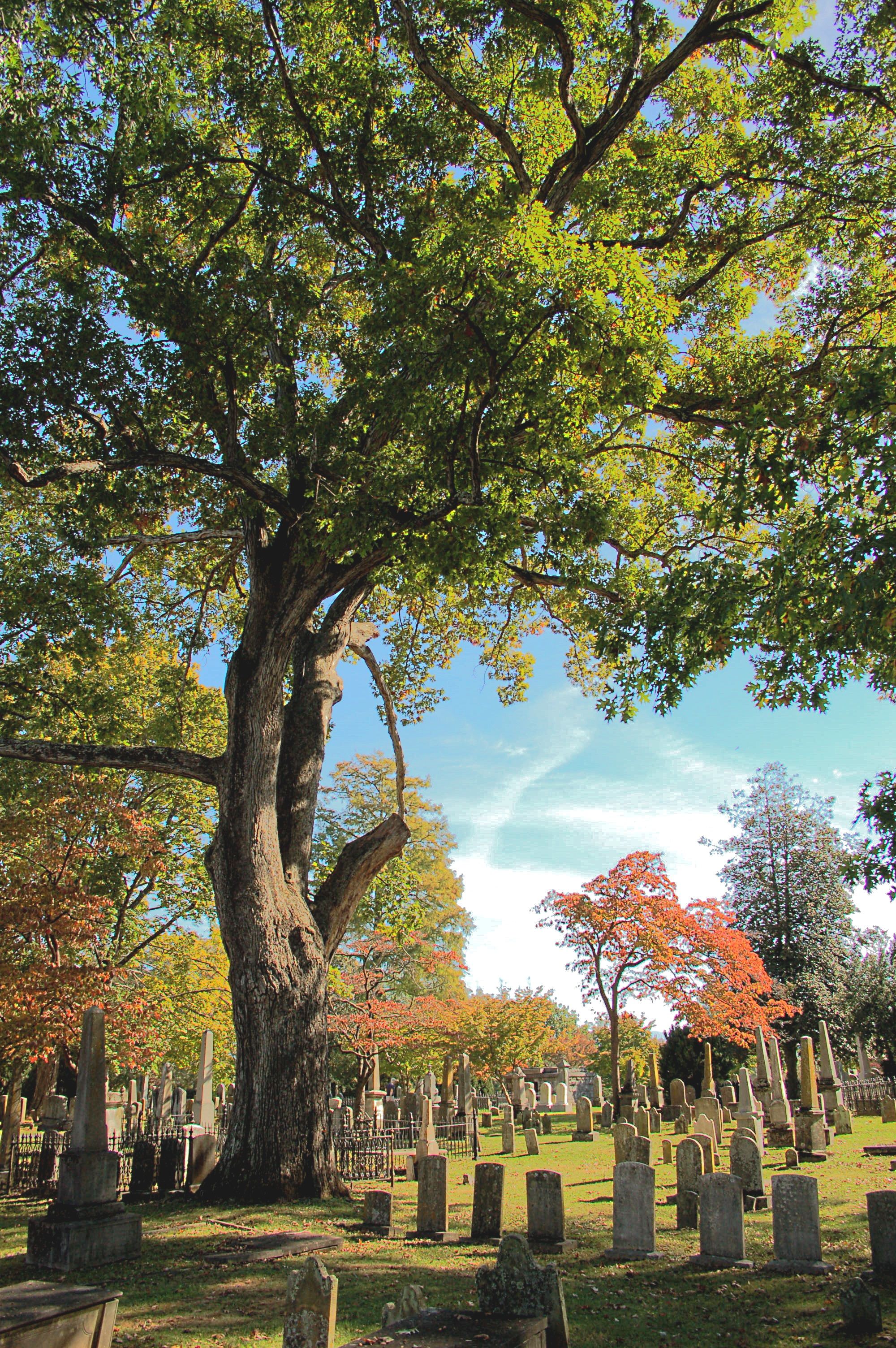
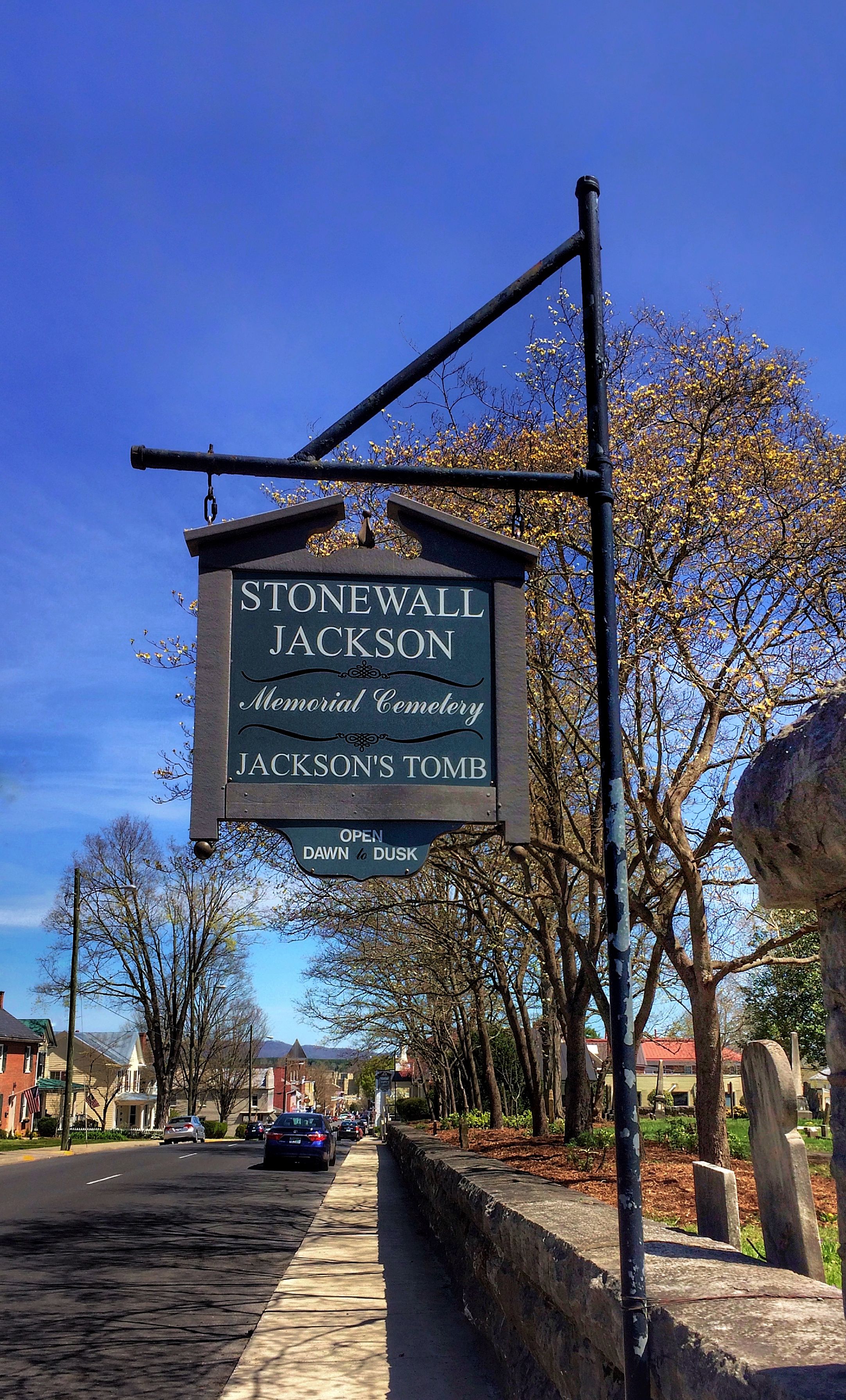
| Description | : | The Stonewall Jackson Memorial Cemetery is located on South Main Street in downtown Lexington, Virginia, less than a mile from the campus of the Virginia Military Institute. Formerly known as the Presbyterian Cemetery, it was renamed for Confederate General Stonewall Jackson, who was interred here after his death on May 10, 1863. |
frequently asked questions (FAQ):
-
Where is Oak Grove Cemetery?
Oak Grove Cemetery is located at 314 S Main Street Lexington, Lexington City ,Virginia , 24450USA.
-
Oak Grove Cemetery cemetery's updated grave count on graveviews.com?
8236 memorials
-
Where are the coordinates of the Oak Grove Cemetery?
Latitude: 37.7808300
Longitude: -79.4450600
Nearby Cemetories:
1. Grace Episcopal Church Columbarium
Lexington, Lexington City, USA
Coordinate: 37.7866290, -79.4431810
2. Lee Chapel Museum
Lexington, Lexington City, USA
Coordinate: 37.7873740, -79.4417470
3. Evergreen Cemetery
Lexington, Lexington City, USA
Coordinate: 37.7803001, -79.4321976
4. Virginia Military Institute Museum
Lexington, Lexington City, USA
Coordinate: 37.7899950, -79.4355080
5. The Meadow
Lexington, Lexington City, USA
Coordinate: 37.7757000, -79.4615900
6. Green Hill Cemetery
Buena Vista, Buena Vista City, USA
Coordinate: 37.7300200, -79.3758200
7. Green Hill Mausoleum
Buena Vista, Buena Vista City, USA
Coordinate: 37.7286700, -79.3759300
8. Hico Cemetery
Monroe, Amherst County, USA
Coordinate: 37.6875910, -79.3291640
9. Lipscombe-Garrett Cemetery
Amherst County, USA
Coordinate: 37.6834000, -79.3317000
10. Clarence Davis Farm Cemetery
Oronoco, Amherst County, USA
Coordinate: 37.7495540, -79.2767500
11. Oronoco Church of the Brethren Cemetery
Oronoco, Amherst County, USA
Coordinate: 37.7447020, -79.2724990
12. Asberry Methodist Church Cemetery
Oronoco, Amherst County, USA
Coordinate: 37.7372208, -79.2538910
13. Richeson Cemetery
Allwood, Amherst County, USA
Coordinate: 37.6811000, -79.2779000
14. Bridge Hill Cemetery
Alto, Amherst County, USA
Coordinate: 37.7709570, -79.2309650
15. Roberts Cemetery
Monroe, Amherst County, USA
Coordinate: 37.6519012, -79.3052979
16. Hylton Cemetery
Allwood, Amherst County, USA
Coordinate: 37.6887500, -79.2643170
17. Mount Horeb United Methodist Church Cemetery
Amherst, Amherst County, USA
Coordinate: 37.7106911, -79.2419758
18. Leonard Coffey Farm Cemetery
Alto, Amherst County, USA
Coordinate: 37.7781570, -79.2199170
19. Tyree off Slapp Creek Cemetery
Willow, Amherst County, USA
Coordinate: 37.6763890, -79.2595980
20. Whitten Family Cemetery
Willow, Amherst County, USA
Coordinate: 37.6932210, -79.2405210
21. Jennings Family Cemetery
Willow, Amherst County, USA
Coordinate: 37.7012790, -79.2342110
22. Hartless Cemetery
Allwood, Amherst County, USA
Coordinate: 37.6695710, -79.2577740
23. Tomlinson Family Cemetery
Forks of Buffalo, Amherst County, USA
Coordinate: 37.7029090, -79.2248080
24. Pera Road Cemetery
Pera, Amherst County, USA
Coordinate: 37.6189315, -79.3161628