
| Memorials | : | 3 |
| Location | : | Gilmer County, USA |
| Coordinate | : | 34.6537940, -84.4381450 |
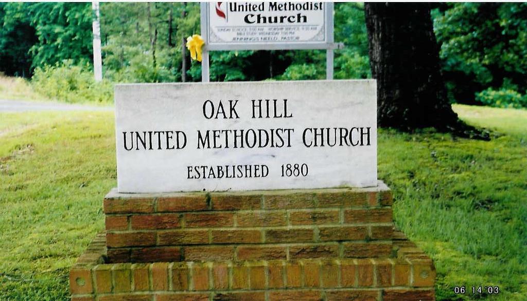
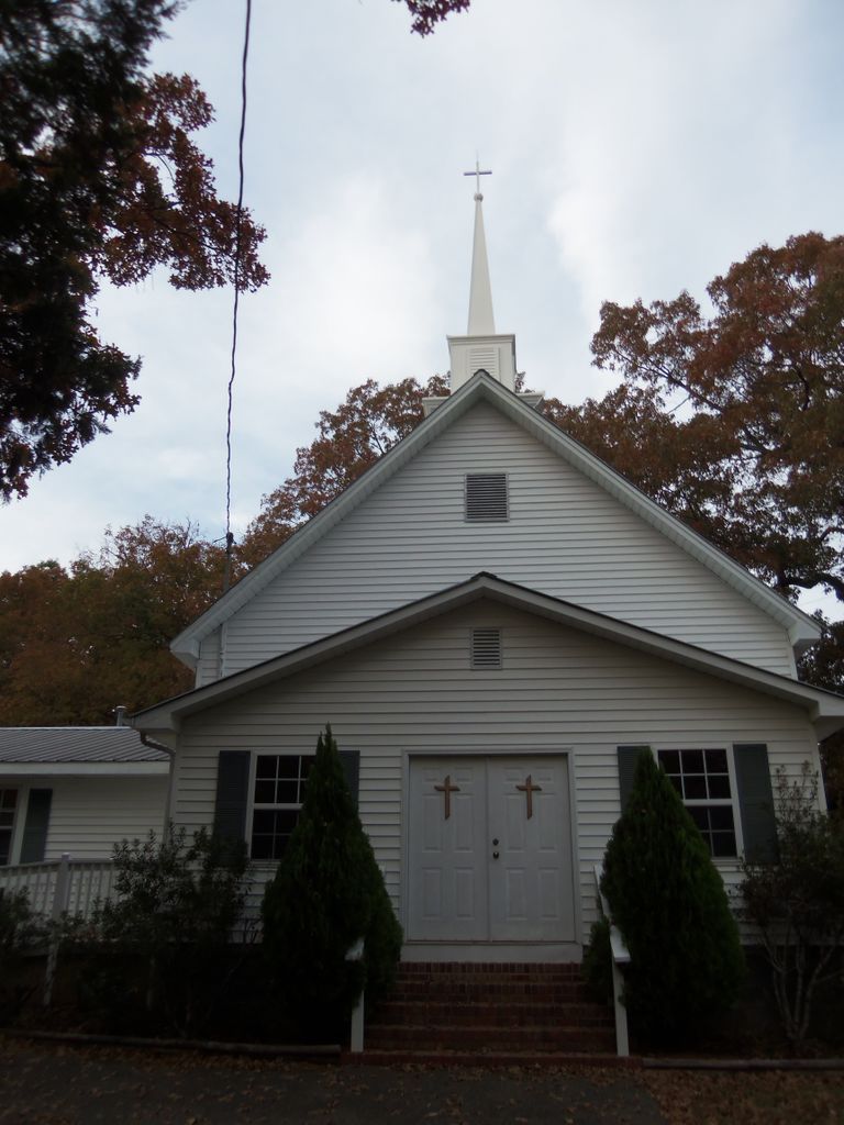
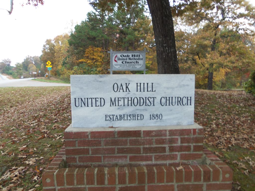
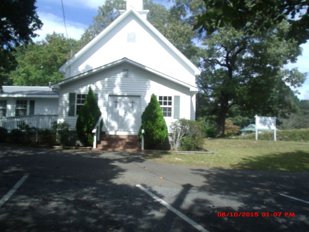
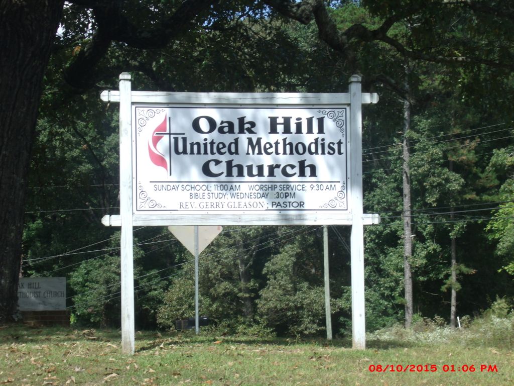
| Description | : | From Elliljay, take Hwy 52-East 4.5 miles; this small white church and cemetery are on right side of Hwy 52-East. |
frequently asked questions (FAQ):
-
Where is Oak Hill United Methodist Church Cemetery?
Oak Hill United Methodist Church Cemetery is located at Hwy 52-East. Gilmer County ,Georgia ,USA.
-
Oak Hill United Methodist Church Cemetery cemetery's updated grave count on graveviews.com?
3 memorials
-
Where are the coordinates of the Oak Hill United Methodist Church Cemetery?
Latitude: 34.6537940
Longitude: -84.4381450
Nearby Cemetories:
1. Mount Zion Baptist Church Cemetery
Ellijay, Gilmer County, USA
Coordinate: 34.6642000, -84.4146000
2. Davis Cemetery
Ellijay, Gilmer County, USA
Coordinate: 34.6482720, -84.4686990
3. Bible Baptist Church Cemetery
Ellijay, Gilmer County, USA
Coordinate: 34.6421180, -84.4702590
4. Teague Family Cemetery
Ellijay, Gilmer County, USA
Coordinate: 34.6214840, -84.4355940
5. Old Cloninger Cemetery
Gilmer County, USA
Coordinate: 34.6197900, -84.4528500
6. Yukon Cemetery
Ellijay, Gilmer County, USA
Coordinate: 34.6243970, -84.4652080
7. Mount Vernon Baptist Church Cemetery
Ellijay, Gilmer County, USA
Coordinate: 34.6249710, -84.4663560
8. Ellijay Church of Christ Cemetery
Ellijay, Gilmer County, USA
Coordinate: 34.6236100, -84.4652700
9. Cartecay United Methodist Church Cemetery Old
Gilmer County, USA
Coordinate: 34.6505090, -84.3885000
10. Cartecay United Methodist Church Cemetery
Cartecay, Gilmer County, USA
Coordinate: 34.6444016, -84.3893967
11. East Ellijay City Cemetery
East Ellijay, Gilmer County, USA
Coordinate: 34.6798230, -84.4776940
12. Pettit Family Cemetery
Ellijay, Gilmer County, USA
Coordinate: 34.6609450, -84.3878120
13. Oak Hill Independent Church Cemetery
Ellijay, Gilmer County, USA
Coordinate: 34.6881010, -84.4720580
14. Jarrett Cemetery
Ellijay, Gilmer County, USA
Coordinate: 34.6907630, -84.4765160
15. Flint Hill Cemetery
Ellijay, Gilmer County, USA
Coordinate: 34.6619730, -84.3775210
16. Reed Family Burial Plot
Ellijay, Gilmer County, USA
Coordinate: 34.6843040, -84.4912910
17. Liberty Baptist Church Cemetery
Ellijay, Gilmer County, USA
Coordinate: 34.6476580, -84.5035420
18. Scrougetown Baptist Church Cemetery
Gilmer County, USA
Coordinate: 34.6739006, -84.3743973
19. Clear Creek Baptist Church Cemetery
Gilmer County, USA
Coordinate: 34.5992012, -84.4199982
20. Ellijay Cemetery
Ellijay, Gilmer County, USA
Coordinate: 34.6946983, -84.4869003
21. Bradley Cemetery
Ellijay, Gilmer County, USA
Coordinate: 34.6005920, -84.4644730
22. Unidentified Cemetery
Gilmer County, USA
Coordinate: 34.7026157, -84.4757971
23. Rose Cemetery
Ellijay, Gilmer County, USA
Coordinate: 34.6034270, -84.4731040
24. Turniptown Baptist Church Cemetery
East Ellijay, Gilmer County, USA
Coordinate: 34.7103004, -84.4218979