
| Memorials | : | 2 |
| Location | : | Curtice, Lucas County, USA |
| Coordinate | : | 41.6242590, -83.3420000 |
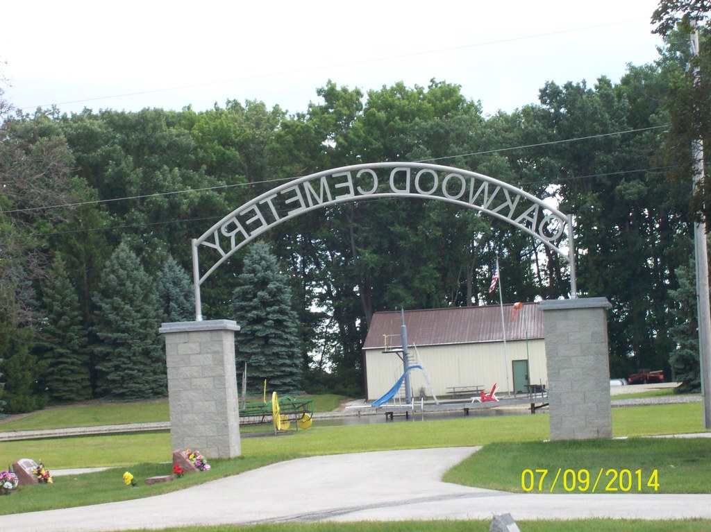
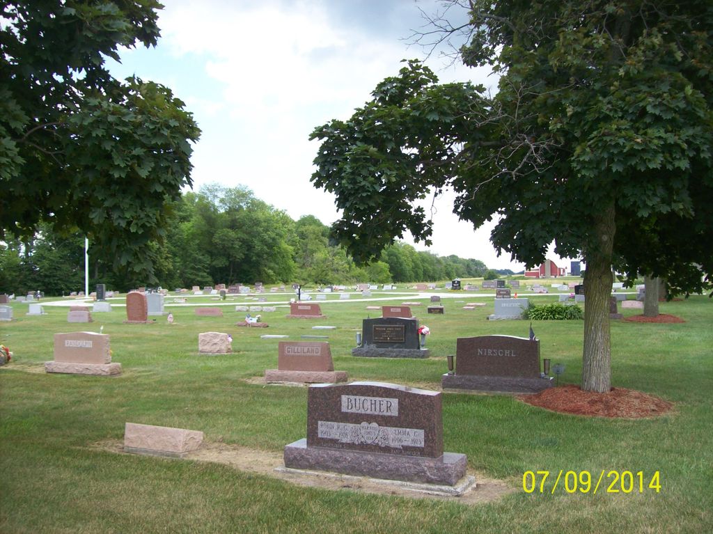
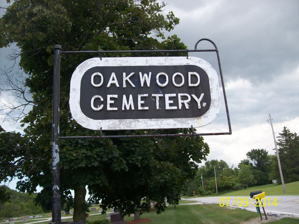
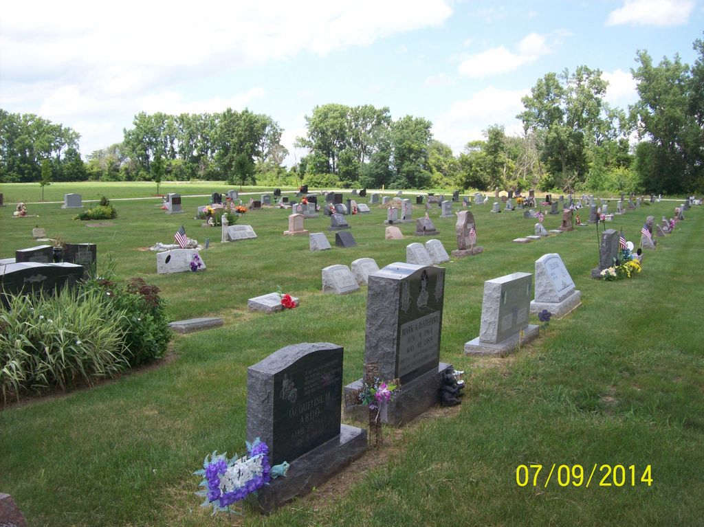
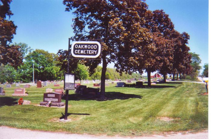
| Description | : | The cemetery is located on the north side of Brown Road about 0.3 miles east of its intersection with Short Road. The cemetery is located in Jerusalem Township, Lucas County, Ohio, and is # 7033 (Oakwood Cemetery) in “Ohio Cemeteries 1803-2003”, compiled by the Ohio Genealogical Society. The cemetery is registered with the Ohio Division of Real Estate and Professional Licensing (ODRE) as Sacred Heart Cemetery with registration license number CBR.0000981948. The U.S. Geological Survey (USGS) Geographic Names Information System (GNIS) feature ID for the cemetery is 1044050 (Oak Wood Cemetery / Oakwood Cemetery). |
frequently asked questions (FAQ):
-
Where is Oak Wood Cemetery?
Oak Wood Cemetery is located at Brown Road (County Road 184) Curtice, Lucas County ,Ohio , 43412USA.
-
Oak Wood Cemetery cemetery's updated grave count on graveviews.com?
2 memorials
-
Where are the coordinates of the Oak Wood Cemetery?
Latitude: 41.6242590
Longitude: -83.3420000
Nearby Cemetories:
1. Allen Township Cemetery
Williston, Ottawa County, USA
Coordinate: 41.6100006, -83.3396988
2. Saint Ignatius Cemetery
Oregon, Lucas County, USA
Coordinate: 41.6564369, -83.4079895
3. Crane Creek Cemetery
Williston, Ottawa County, USA
Coordinate: 41.5802994, -83.3968964
4. Hillabrand Cemetery
Oregon, Lucas County, USA
Coordinate: 41.6200530, -83.4256350
5. Elliston Cemetery
Elliston, Ottawa County, USA
Coordinate: 41.5439987, -83.2679977
6. Lake Township Cemetery
Walbridge, Wood County, USA
Coordinate: 41.5892181, -83.4677124
7. North Oregon Cemetery
Oregon, Lucas County, USA
Coordinate: 41.6613998, -83.4705963
8. Beth Shalom Cemetery
Oregon, Lucas County, USA
Coordinate: 41.6603300, -83.4713200
9. Saint Johns Lutheran Church Cemetery
Toledo, Lucas County, USA
Coordinate: 41.6519920, -83.4897530
10. Clay Township Cemetery
Genoa, Ottawa County, USA
Coordinate: 41.5092010, -83.3186035
11. Willow Cemetery
Oregon, Lucas County, USA
Coordinate: 41.6292000, -83.4997025
12. Limestone Cemetery
Graytown, Ottawa County, USA
Coordinate: 41.5513000, -83.2164993
13. Manhattan Cemetery
Toledo, Lucas County, USA
Coordinate: 41.6878117, -83.4964925
14. Choate Burial Site
Toledo, Lucas County, USA
Coordinate: 41.7523900, -83.3911880
15. Saint Joseph Cemetery
Locust Point, Ottawa County, USA
Coordinate: 41.5873560, -83.1641550
16. Unnamed Cemetery #4 (Defunct)
Toledo, Lucas County, USA
Coordinate: 41.6434540, -83.5252720
17. Restlawn Memorial Park
Perrysburg, Wood County, USA
Coordinate: 41.5133018, -83.4661026
18. Trinity Episcopal Columbarium
Toledo, Lucas County, USA
Coordinate: 41.6527470, -83.5331560
19. Rymers Cemetery
Elmore, Ottawa County, USA
Coordinate: 41.4833900, -83.2871690
20. Forest Cemetery
Toledo, Lucas County, USA
Coordinate: 41.6693130, -83.5293320
21. Unnamed Cemetery #3 (Defunct)
Toledo, Lucas County, USA
Coordinate: 41.6663240, -83.5334060
22. Harrington Cemetery
Elmore, Ottawa County, USA
Coordinate: 41.4781990, -83.2903100
23. Unnamed Cemetery #1 (Defunct)
Toledo, Lucas County, USA
Coordinate: 41.6570280, -83.5463600
24. Harris-Elmore Union Cemetery
Elmore, Ottawa County, USA
Coordinate: 41.4738998, -83.2789001