
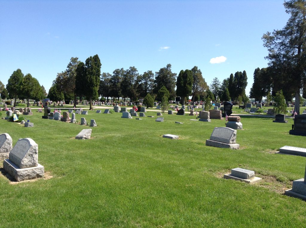
| Memorials | : | 53 |
| Location | : | Genoa, Ottawa County, USA |
| Coordinate | : | 41.5092010, -83.3186035 |
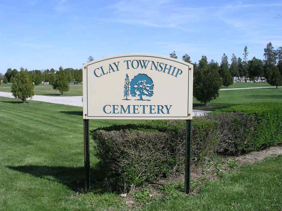
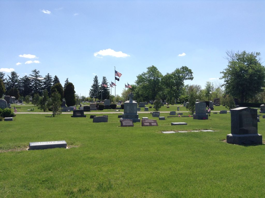
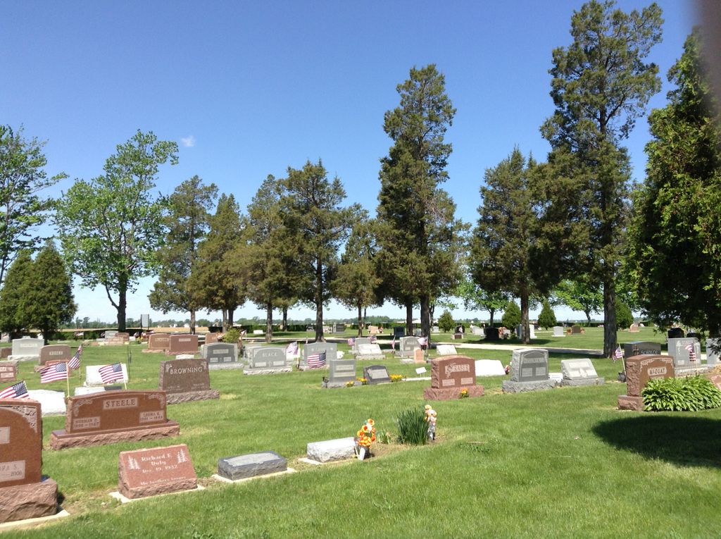
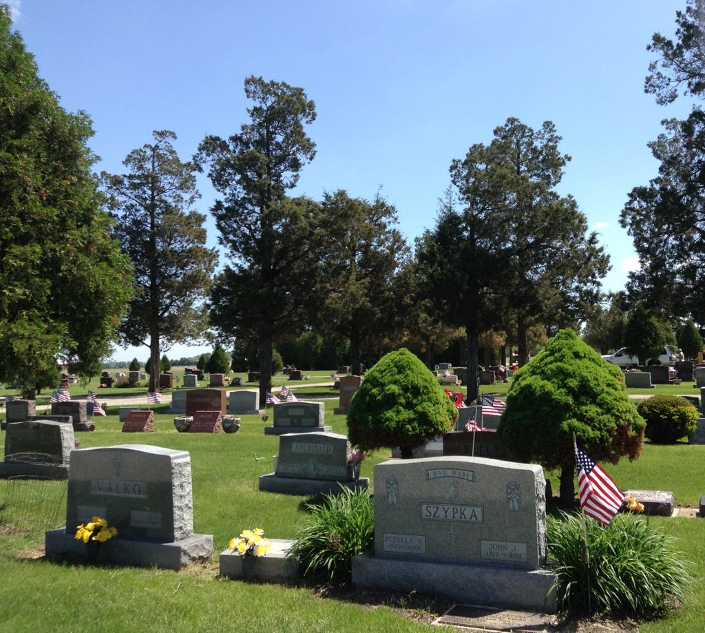
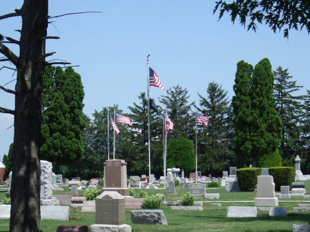
| Description | : | The cemetery is located on the northeast corner of the intersection of W Fulkert Road (Township Road 56) and S Opfer-Lentz Road (Township Road 214). The cemetery is located in Clay Township, Ottawa County, Ohio, and is # 9178 (Clay Township Cemetery / Genoa Cemetery / Clay Township) in “Ohio Cemeteries 1803-2003”, compiled by the Ohio Genealogical Society. The cemetery is registered with the Ohio Division of Real Estate and Professional Licensing (ODRE) as Clay Township Cemetery with registration license number CGR.0000980139. The U.S. Geological Survey (USGS) Geographic Names Information System (GNIS) feature ID for the cemetery is... Read More |
frequently asked questions (FAQ):
-
Where is Clay Township Cemetery?
Clay Township Cemetery is located at W Fulkert Road (Township Road 56) and S Opfer-Lentz Road (Township Road 214) Genoa, Ottawa County ,Ohio , 43416USA.
-
Clay Township Cemetery cemetery's updated grave count on graveviews.com?
50 memorials
-
Where are the coordinates of the Clay Township Cemetery?
Latitude: 41.5092010
Longitude: -83.3186035
Nearby Cemetories:
1. Rymers Cemetery
Elmore, Ottawa County, USA
Coordinate: 41.4833900, -83.2871690
2. Harrington Cemetery
Elmore, Ottawa County, USA
Coordinate: 41.4781990, -83.2903100
3. Harris-Elmore Union Cemetery
Elmore, Ottawa County, USA
Coordinate: 41.4738998, -83.2789001
4. Elliston Cemetery
Elliston, Ottawa County, USA
Coordinate: 41.5439987, -83.2679977
5. Woodville Cemetery
Woodville, Sandusky County, USA
Coordinate: 41.4641991, -83.3625031
6. Woodville Catholic Cemetery
Woodville, Sandusky County, USA
Coordinate: 41.4621540, -83.3614250
7. Sugar Creek Cemetery
Woodville Township, Sandusky County, USA
Coordinate: 41.4378520, -83.3298720
8. Westwood Cemetery
Woodville, Sandusky County, USA
Coordinate: 41.4510994, -83.3861008
9. Limestone Cemetery
Graytown, Ottawa County, USA
Coordinate: 41.5513000, -83.2164993
10. Crane Creek Cemetery
Williston, Ottawa County, USA
Coordinate: 41.5802994, -83.3968964
11. Allen Township Cemetery
Williston, Ottawa County, USA
Coordinate: 41.6100006, -83.3396988
12. Port Oleron Cemetery
Oak Harbor, Ottawa County, USA
Coordinate: 41.5016010, -83.1816800
13. Salem Church Cemetery
Luckey, Wood County, USA
Coordinate: 41.4438300, -83.4344900
14. Restlawn Memorial Park
Perrysburg, Wood County, USA
Coordinate: 41.5133018, -83.4661026
15. North Union Cemetery
Gibsonburg, Sandusky County, USA
Coordinate: 41.3981018, -83.3135986
16. Saint Lawrence Cemetery
Gibsonburg, Sandusky County, USA
Coordinate: 41.3964005, -83.3146973
17. Oak Wood Cemetery
Curtice, Lucas County, USA
Coordinate: 41.6242590, -83.3420000
18. Overmyer Cemetery
Lindsey, Sandusky County, USA
Coordinate: 41.4158800, -83.2213100
19. Lindsey Cemetery
Lindsey, Sandusky County, USA
Coordinate: 41.4206100, -83.2124200
20. Oak Harbor Union Cemetery
Oak Harbor, Ottawa County, USA
Coordinate: 41.5064011, -83.1572037
21. West Union Cemetery
Gibsonburg, Sandusky County, USA
Coordinate: 41.3842010, -83.3377991
22. Hessville Cemetery
Hessville, Sandusky County, USA
Coordinate: 41.3945000, -83.2465900
23. Troy Township Cemetery
Luckey, Wood County, USA
Coordinate: 41.4533300, -83.4772000
24. Hineline Cemetery
Rice Township, Sandusky County, USA
Coordinate: 41.4336600, -83.1740900