
| Memorials | : | 0 |
| Location | : | Grants Lick, Campbell County, USA |
| Coordinate | : | 38.8578600, -84.3997100 |
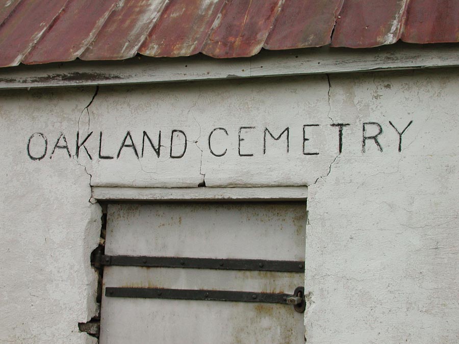
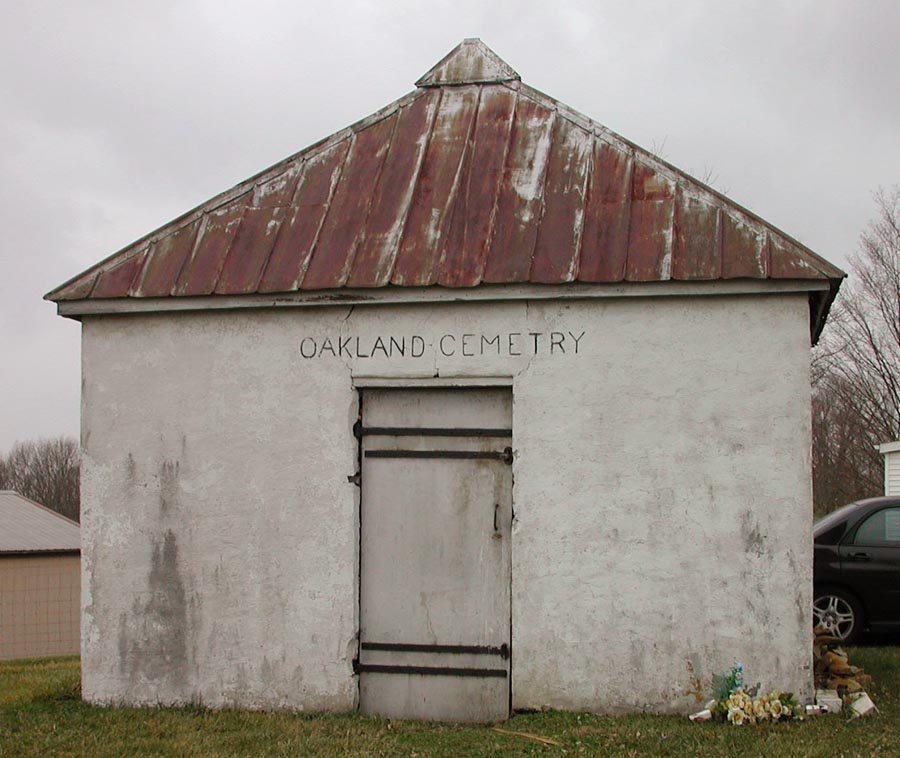
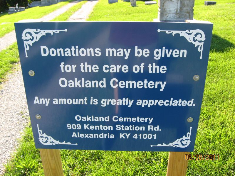
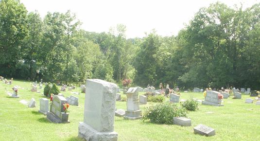
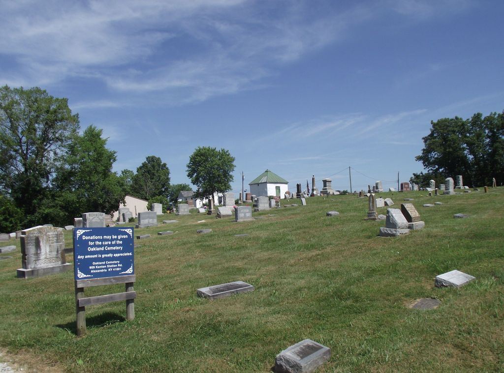
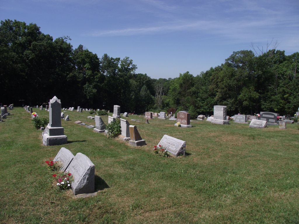
| Description | : | The cemetery is located at the intersection of Clay Ridge Road and Smith Hiteman Road The U.S. Geological Survey (USGS) Geographic Names Information System (GNIS) feature ID for the cemetery is 2564957 (Oakland Cemetery). |
frequently asked questions (FAQ):
-
Where is Oakland Cemetery?
Oakland Cemetery is located at 892 - 916 Clay Ridge Road Grants Lick, Campbell County ,Kentucky , 41001USA.
-
Oakland Cemetery cemetery's updated grave count on graveviews.com?
0 memorials
-
Where are the coordinates of the Oakland Cemetery?
Latitude: 38.8578600
Longitude: -84.3997100
Nearby Cemetories:
1. Hoyt Baker Farm Cemetery
Grants Lick, Campbell County, USA
Coordinate: 38.8383390, -84.4199000
2. Bud Brown Farm Cemetery
Grants Lick, Campbell County, USA
Coordinate: 38.8410830, -84.4269670
3. John Armstrong Tarvin Cemetery
Grants Lick, Campbell County, USA
Coordinate: 38.8596830, -84.3646170
4. Plum Creek Christian Church Cemetery
Grants Lick, Campbell County, USA
Coordinate: 38.8407600, -84.3720900
5. Daniel Family Cemetery
Grants Lick, Campbell County, USA
Coordinate: 38.8322670, -84.4184830
6. Harris Family Cemetery
California, Campbell County, USA
Coordinate: 38.8471790, -84.3596420
7. Richard Tarvin Cemetery
Grants Lick, Campbell County, USA
Coordinate: 38.8471070, -84.3594710
8. Stamper Cemetery
Grants Lick, Campbell County, USA
Coordinate: 38.8289080, -84.4211670
9. Foster Byrd Family Cemetery
Aspen Grove, Campbell County, USA
Coordinate: 38.8906160, -84.3890430
10. John Byrd Cemetery
Aspen Grove, Campbell County, USA
Coordinate: 38.8916990, -84.4032690
11. Hornbeck Family Graveyard
Grants Lick, Campbell County, USA
Coordinate: 38.8254000, -84.3772520
12. Pleasant Ridge Baptist Church Cemetery
Grants Lick, Campbell County, USA
Coordinate: 38.8949400, -84.4158200
13. John Gosney Family Cemetery
Grants Lick, Campbell County, USA
Coordinate: 38.8334980, -84.3598650
14. Harrisburg Hill Cemetery
Claryville, Campbell County, USA
Coordinate: 38.8885340, -84.4318870
15. Caldwell Cemetery
Alexandria, Campbell County, USA
Coordinate: 38.8884730, -84.3668880
16. John Baker Cemetery
Claryville, Campbell County, USA
Coordinate: 38.8759500, -84.4461170
17. Lumis-Casson-Pierson Family Cemetery
Grants Lick, Campbell County, USA
Coordinate: 38.8357500, -84.4467330
18. Hall Cemetery
Visalia, Kenton County, USA
Coordinate: 38.8763890, -84.4527780
19. Roberts Cemetery
Kenton, Kenton County, USA
Coordinate: 38.8686110, -84.4611110
20. Bowling Family Cemetery
Campbell County, USA
Coordinate: 38.8096000, -84.4117500
21. Vandiver Cemetery
Alexandria, Campbell County, USA
Coordinate: 38.8071380, -84.4121530
22. Kuhl Farm Cemetery
Claryville, Campbell County, USA
Coordinate: 38.9108330, -84.4064840
23. Schoolfield Cemetery
Gubser Mill, Campbell County, USA
Coordinate: 38.8848110, -84.3389150
24. Bruce Cemetery
Morning View, Kenton County, USA
Coordinate: 38.8571885, -84.4714651