
| Memorials | : | 0 |
| Location | : | Grants Lick, Campbell County, USA |
| Coordinate | : | 38.8949400, -84.4158200 |
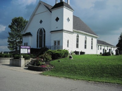
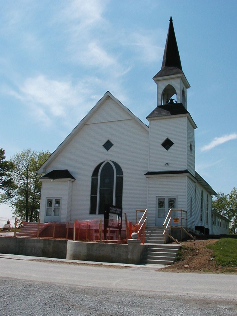
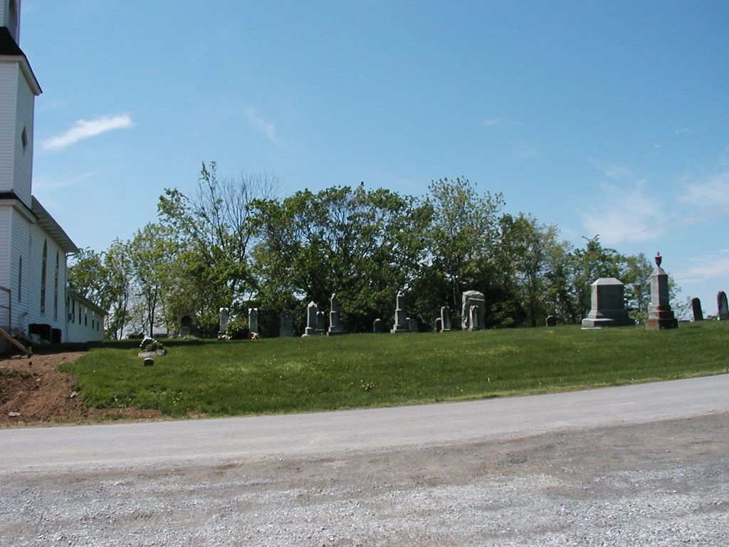
| Description | : | The U.S. Geological Survey (USGS) Geographic Names Information System (GNIS) feature ID for the cemetery is 2089473 (Pleasant Ridge Baptist Church Cemetery). |
frequently asked questions (FAQ):
-
Where is Pleasant Ridge Baptist Church Cemetery?
Pleasant Ridge Baptist Church Cemetery is located at 11212 Lees Road Grants Lick, Campbell County ,Kentucky , 41001USA.
-
Pleasant Ridge Baptist Church Cemetery cemetery's updated grave count on graveviews.com?
0 memorials
-
Where are the coordinates of the Pleasant Ridge Baptist Church Cemetery?
Latitude: 38.8949400
Longitude: -84.4158200
Nearby Cemetories:
1. John Byrd Cemetery
Aspen Grove, Campbell County, USA
Coordinate: 38.8916990, -84.4032690
2. Harrisburg Hill Cemetery
Claryville, Campbell County, USA
Coordinate: 38.8885340, -84.4318870
3. Kuhl Farm Cemetery
Claryville, Campbell County, USA
Coordinate: 38.9108330, -84.4064840
4. Foster Byrd Family Cemetery
Aspen Grove, Campbell County, USA
Coordinate: 38.8906160, -84.3890430
5. Notley Maddox Cemetery
Claryville, Campbell County, USA
Coordinate: 38.9094450, -84.4375010
6. Notley Maddox Slave Cemetery
Claryville, Campbell County, USA
Coordinate: 38.9083320, -84.4394440
7. Winston Cemetery
Kenton, Kenton County, USA
Coordinate: 38.9030560, -84.4438890
8. Weinel Family Graveyard
Claryville, Campbell County, USA
Coordinate: 38.9181780, -84.4245220
9. John Baker Cemetery
Claryville, Campbell County, USA
Coordinate: 38.8759500, -84.4461170
10. Hall Cemetery
Visalia, Kenton County, USA
Coordinate: 38.8763890, -84.4527780
11. Schwall Cemetery
Morning View, Kenton County, USA
Coordinate: 38.8875000, -84.4633330
12. Caldwell Cemetery
Alexandria, Campbell County, USA
Coordinate: 38.8884730, -84.3668880
13. Oakland Cemetery
Grants Lick, Campbell County, USA
Coordinate: 38.8578600, -84.3997100
14. Rapp Cemetery
Visalia, Kenton County, USA
Coordinate: 38.8869440, -84.4677780
15. Simmons Cemetery
Visalia, Kenton County, USA
Coordinate: 38.9069440, -84.4677780
16. Roberts Cemetery
Kenton, Kenton County, USA
Coordinate: 38.8686110, -84.4611110
17. John Armstrong Tarvin Cemetery
Grants Lick, Campbell County, USA
Coordinate: 38.8596830, -84.3646170
18. Bud Brown Farm Cemetery
Grants Lick, Campbell County, USA
Coordinate: 38.8410830, -84.4269670
19. Persimmon Grove Cemetery
Persimmon Grove, Campbell County, USA
Coordinate: 38.9011500, -84.3444700
20. Adams Cemetery
Visalia, Kenton County, USA
Coordinate: 38.9088889, -84.4861111
21. Hoyt Baker Farm Cemetery
Grants Lick, Campbell County, USA
Coordinate: 38.8383390, -84.4199000
22. Cherry Family Cemetery
Persimmon Grove, Campbell County, USA
Coordinate: 38.9101700, -84.3451110
23. Bruce Cemetery
Morning View, Kenton County, USA
Coordinate: 38.8571885, -84.4714651
24. Pelley Cemetery
Kenton, Kenton County, USA
Coordinate: 38.8638890, -84.4791670