
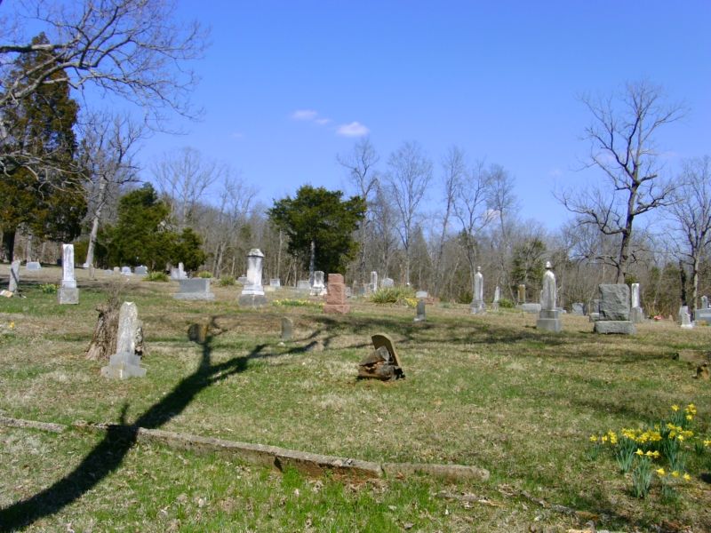
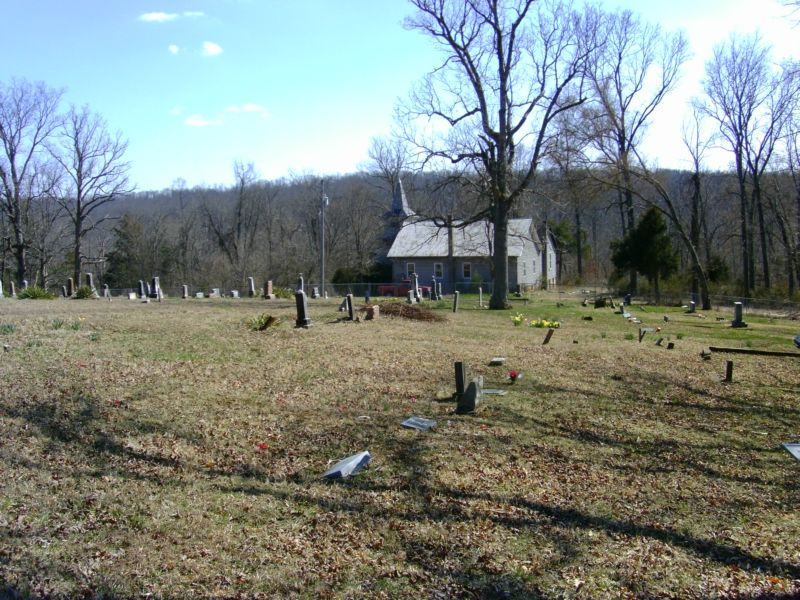
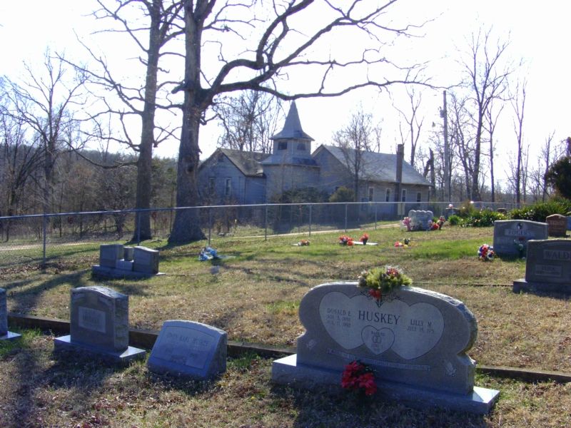
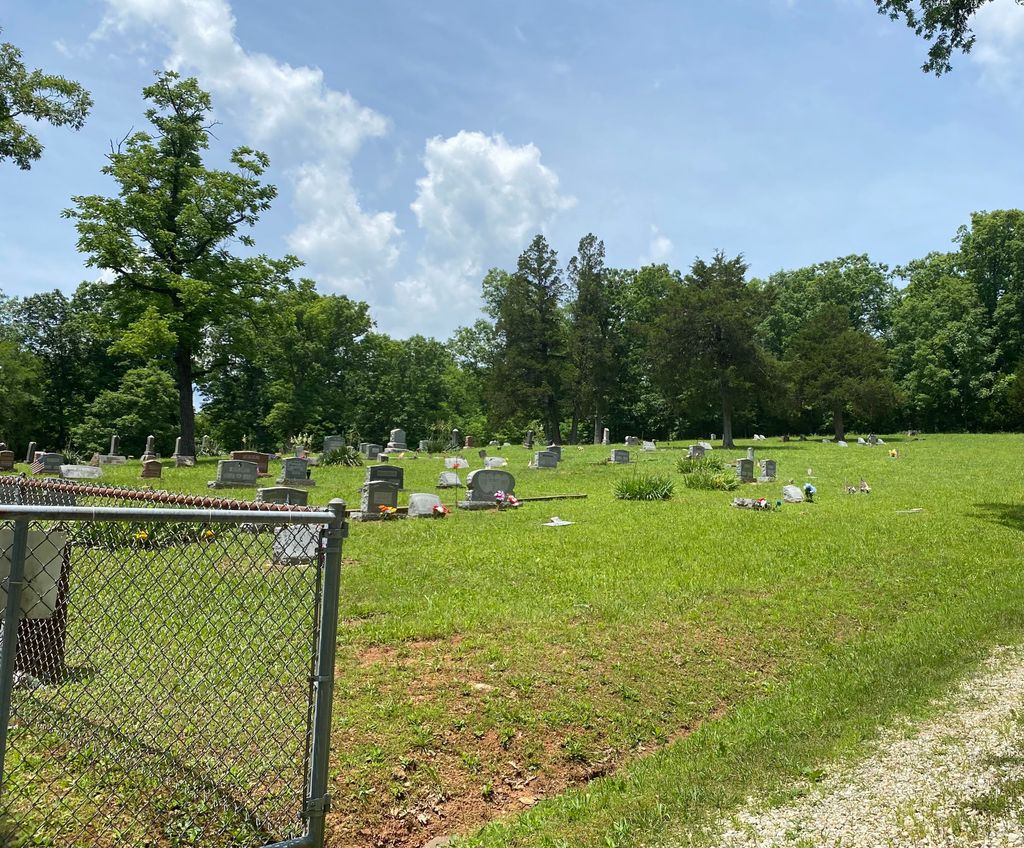
| Memorials | : | 3 |
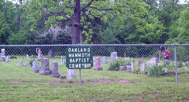
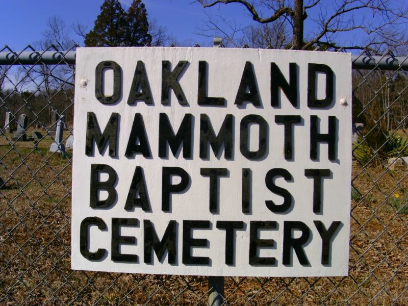
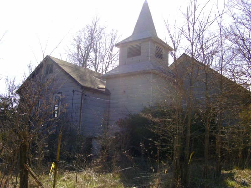
| Location | : | De Soto, Jefferson County, USA |
| Coordinate | : | 38.1250000, -90.6647034 |
frequently asked questions (FAQ):
-
Where is Oakland Mammoth Baptist Cemetery?
Oakland Mammoth Baptist Cemetery is located at De Soto, Jefferson County ,Missouri ,USA.
-
Oakland Mammoth Baptist Cemetery cemetery's updated grave count on graveviews.com?
3 memorials
-
Where are the coordinates of the Oakland Mammoth Baptist Cemetery?
Latitude: 38.1250000
Longitude: -90.6647034
Nearby Cemetories:
1. Neely Cemetery
Jefferson County, USA
Coordinate: 38.1742690, -90.6222030
2. McCain Cemetery
Jefferson County, USA
Coordinate: 38.1747017, -90.7153015
3. Maness Cemetery
Fletcher, Jefferson County, USA
Coordinate: 38.1655998, -90.7292023
4. Luckey Baptist Church Cemetery
De Soto, Jefferson County, USA
Coordinate: 38.1709100, -90.6040100
5. Old Blackwell Cemetery
St. Francois County, USA
Coordinate: 38.0624500, -90.6173500
6. Calvary Cemetery
De Soto, Jefferson County, USA
Coordinate: 38.1413994, -90.5718994
7. Woodlawn Memorial Park
De Soto, Jefferson County, USA
Coordinate: 38.1264000, -90.5655975
8. City Cemetery
De Soto, Jefferson County, USA
Coordinate: 38.1405260, -90.5642440
9. Pinson Cemetery
Blackwell, St. Francois County, USA
Coordinate: 38.0457993, -90.6331024
10. Vinyard Family Cemetery
Blackwell, Jefferson County, USA
Coordinate: 38.0471992, -90.6050034
11. Dripping Springs Cemetery
Jefferson County, USA
Coordinate: 38.1034600, -90.5483200
12. Edwards Cemetery
De Soto, Jefferson County, USA
Coordinate: 38.1095374, -90.5452866
13. Peaceful Ridge Cemetery
De Soto, Jefferson County, USA
Coordinate: 38.1699300, -90.5565500
14. Aly Cemetery
St. Francois County, USA
Coordinate: 38.0285988, -90.6391983
15. Jefferson County Poor Farm Cemetery
Hillsboro, Jefferson County, USA
Coordinate: 38.2202240, -90.6115980
16. Hamman Cemetery
Jefferson County, USA
Coordinate: 38.0318985, -90.5742035
17. Robert's Gravesite
St. Francois County, USA
Coordinate: 38.0087260, -90.6172080
18. Moontown Cemetery
Jefferson County, USA
Coordinate: 38.0186005, -90.5828018
19. Cole Cemetery
St. Francois County, USA
Coordinate: 38.0028000, -90.6166992
20. Mount Olive Cemetery
De Soto, Jefferson County, USA
Coordinate: 38.0802800, -90.5069900
21. Hillsboro Cemetery
Hillsboro, Jefferson County, USA
Coordinate: 38.2273900, -90.5582800
22. Bethlehem Church Cemetery
Grubville, Jefferson County, USA
Coordinate: 38.2531000, -90.7081800
23. Good Shepherd Cemetery
Hillsboro, Jefferson County, USA
Coordinate: 38.2352982, -90.5697021
24. Lone Pilgrim Cemetery
Hillsboro, Jefferson County, USA
Coordinate: 38.2159100, -90.5362100