
| Memorials | : | 2 |
| Location | : | Grubville, Jefferson County, USA |
| Coordinate | : | 38.2531000, -90.7081800 |
frequently asked questions (FAQ):
-
Where is Bethlehem Church Cemetery?
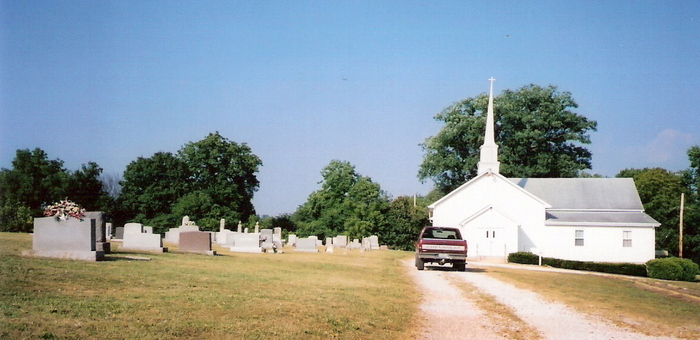
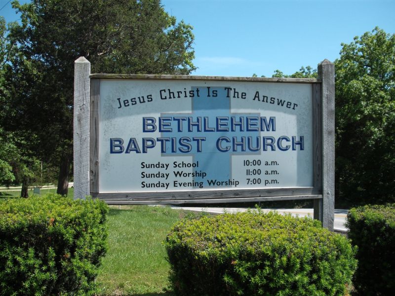
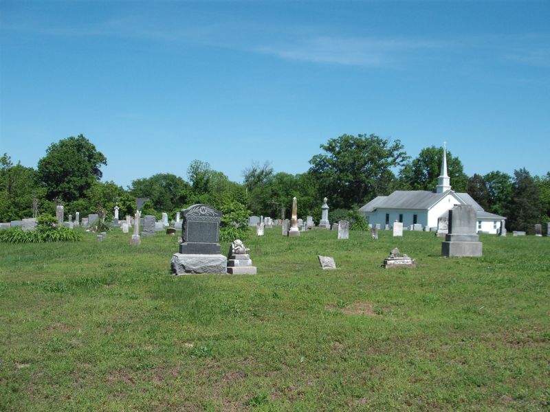
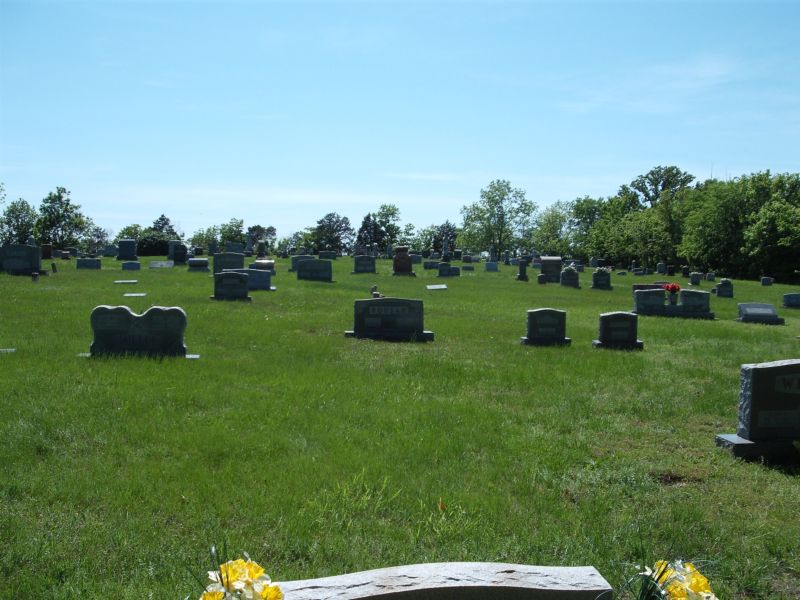
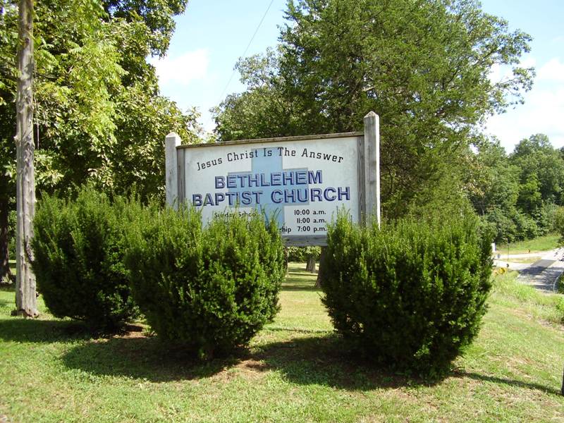
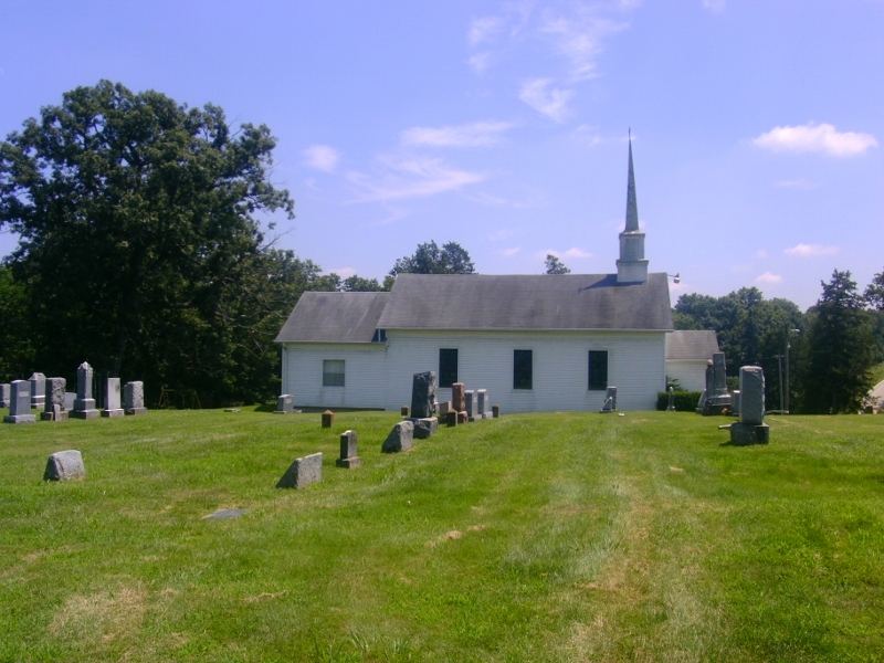
Bethlehem Church Cemetery is located at 8325 State Highway Y Grubville, Jefferson County ,Missouri ,USA.
-
Bethlehem Church Cemetery cemetery's updated grave count on graveviews.com?
2 memorials
-
Where are the coordinates of the Bethlehem Church Cemetery?
Latitude: 38.2531000
Longitude: -90.7081800

Nearby Cemetories:
1. Wideman Cemetery
Dittmer, Jefferson County, USA
Coordinate: 38.2984200, -90.7185000
2. Grubville Cemetery
Grubville, Jefferson County, USA
Coordinate: 38.2970700, -90.7468100
3. Church of God Faith of Abraham Cemetery
Morse Mill, Jefferson County, USA
Coordinate: 38.2801094, -90.6482544
4. Luebbering Citizens Community Cemetery
Franklin County, USA
Coordinate: 38.2775600, -90.7796500
5. Fairview Cemetery
Lonedell, Franklin County, USA
Coordinate: 38.2773900, -90.7809800
6. Saint Martins United Church of Christ Cemetery
Dittmer, Jefferson County, USA
Coordinate: 38.3290300, -90.6892300
7. Woodcock Cemetery #2
Luebbering, Franklin County, USA
Coordinate: 38.2718290, -90.8039980
8. McCain Cemetery
Jefferson County, USA
Coordinate: 38.1747017, -90.7153015
9. Jefferson County Poor Farm Cemetery
Hillsboro, Jefferson County, USA
Coordinate: 38.2202240, -90.6115980
10. Thompson Cemetery
Lonedell, Franklin County, USA
Coordinate: 38.3244700, -90.7688000
11. Peaceful Meadows
Hillsboro, Jefferson County, USA
Coordinate: 38.2629557, -90.5978627
12. Maness Cemetery
Fletcher, Jefferson County, USA
Coordinate: 38.1655998, -90.7292023
13. Herrington Family Burial Ground
Hillsboro, Jefferson County, USA
Coordinate: 38.2911770, -90.5952680
14. Calvey Baptist Church Cemetery
Catawissa, Franklin County, USA
Coordinate: 38.3463700, -90.7585500
15. Neely Cemetery
Jefferson County, USA
Coordinate: 38.1742690, -90.6222030
16. Sparks Cemetery
Lonedell, Franklin County, USA
Coordinate: 38.2303009, -90.8375015
17. Elmwood Church Cemetery
Lonedell, Franklin County, USA
Coordinate: 38.2397194, -90.8404160
18. Good Shepherd Cemetery
Hillsboro, Jefferson County, USA
Coordinate: 38.2352982, -90.5697021
19. Independent Friends Cemetery
Dittmer, Jefferson County, USA
Coordinate: 38.3655853, -90.7172852
20. Johns Cemetery
Lonedell, Franklin County, USA
Coordinate: 38.3088600, -90.8334600
21. Luckey Baptist Church Cemetery
De Soto, Jefferson County, USA
Coordinate: 38.1709100, -90.6040100
22. Glade Chapel Cemetery
Hillsboro, Jefferson County, USA
Coordinate: 38.2952300, -90.5665500
23. Hillsboro Cemetery
Hillsboro, Jefferson County, USA
Coordinate: 38.2273900, -90.5582800
24. Chapel Hill Memorial Gardens
Cedar Hill, Jefferson County, USA
Coordinate: 38.3622190, -90.6403400