| Memorials | : | 0 |
| Location | : | Healdton, Carter County, USA |
| Coordinate | : | 34.3077340, -97.4450430 |
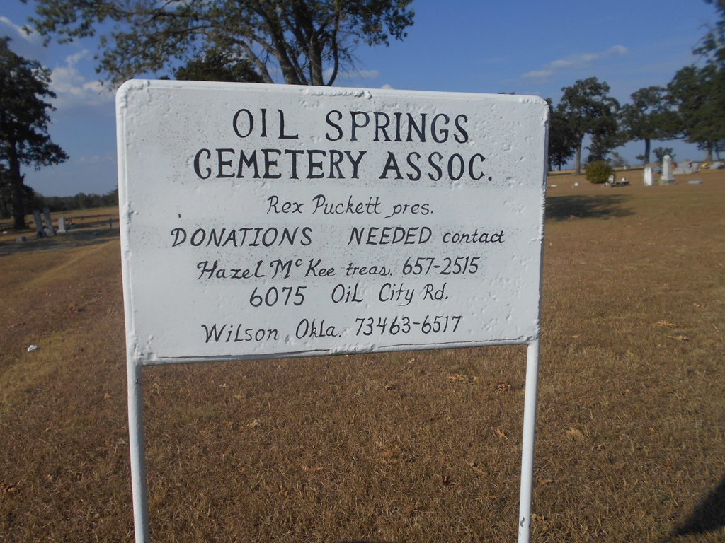
| Description | : | This cemetery is NOT to be confused with Oil Spring Cemetery in Tatums, Oklahoma. They are two separate and distinct burial grounds. |
frequently asked questions (FAQ):
-
Where is Oil Springs Cemetery?
Oil Springs Cemetery is located at Healdton, Carter County ,Oklahoma ,USA.
-
Oil Springs Cemetery cemetery's updated grave count on graveviews.com?
0 memorials
-
Where are the coordinates of the Oil Springs Cemetery?
Latitude: 34.3077340
Longitude: -97.4450430
Nearby Cemetories:
1. Graham Cemetery
Graham, Carter County, USA
Coordinate: 34.3399230, -97.4289170
2. Mount Olive Cemetery
Healdton, Carter County, USA
Coordinate: 34.2256012, -97.4841995
3. Keller Cemetery
Carter County, USA
Coordinate: 34.2360992, -97.3739014
4. Milo Cemetery
Milo, Carter County, USA
Coordinate: 34.3330994, -97.3257980
5. Jehovah Cemetery
Milo, Carter County, USA
Coordinate: 34.3213890, -97.3190740
6. Bailey Cemetery
Carter County, USA
Coordinate: 34.1913550, -97.4907720
7. Pooleville Cemetery
Pooleville, Carter County, USA
Coordinate: 34.4258003, -97.3996964
8. Hickory Cemetery
Woodford, Carter County, USA
Coordinate: 34.3074989, -97.2891998
9. Woodford Cemetery
Woodford, Carter County, USA
Coordinate: 34.3381690, -97.2896410
10. Center Point Cemetery
Ringling, Jefferson County, USA
Coordinate: 34.2900200, -97.6060900
11. Dixie Cemetery
Loco, Stephens County, USA
Coordinate: 34.2891998, -97.6061020
12. Hewitt Cemetery
Wilson, Carter County, USA
Coordinate: 34.1669006, -97.3930969
13. Newport Cemetery
Lone Grove, Carter County, USA
Coordinate: 34.2528650, -97.2765170
14. Bomar Point Cemetery
Wilson, Carter County, USA
Coordinate: 34.1543999, -97.4514008
15. Monk Cemetery
Ratliff City, Carter County, USA
Coordinate: 34.4580994, -97.4925003
16. Ratliff City Cemetery
Ratliff City, Carter County, USA
Coordinate: 34.4544870, -97.5130550
17. Tatums Cemetery
Tatums, Carter County, USA
Coordinate: 34.4674988, -97.4738998
18. Oil Spring Cemetery
Tatums, Carter County, USA
Coordinate: 34.4897003, -97.4124985
19. Mountain Grove Cemetery
Loco, Stephens County, USA
Coordinate: 34.3582993, -97.6607971
20. Loco Cemetery
Loco, Stephens County, USA
Coordinate: 34.3274994, -97.6682968
21. Alma Cemetery
Alma, Stephens County, USA
Coordinate: 34.4328003, -97.6130981
22. West Memorial Cemetery
Lone Grove, Carter County, USA
Coordinate: 34.1885180, -97.2696880
23. Lone Grove Cemetery
Lone Grove, Carter County, USA
Coordinate: 34.1893997, -97.2613983
24. Gaines Cemetery
Carter County, USA
Coordinate: 34.2788800, -97.2130500


