
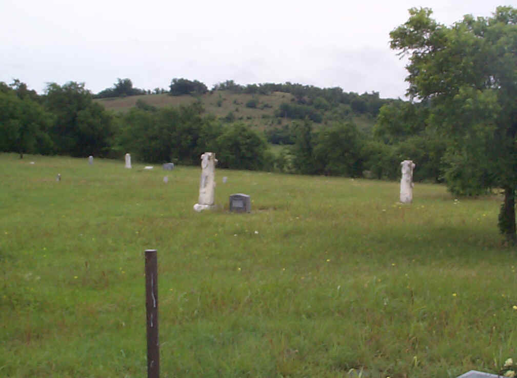
| Memorials | : | 2 |
| Location | : | Woodford, Carter County, USA |
| Coordinate | : | 34.3381690, -97.2896410 |
| Description | : | Take Woodruff Road north from Highway 53. Follow the road where it turns north and becomes Mountain Lake Road. Keep going straight when Mountain Lake Road turns north. Follow the curve in the road, drive past the road that starts on the left and the next one that starts on the right that go to oil leases, and just past that you’ll see a turn-out for the cemetery entrance. |
frequently asked questions (FAQ):
-
Where is Woodford Cemetery?
Woodford Cemetery is located at Woodford, Carter County ,Oklahoma ,USA.
-
Woodford Cemetery cemetery's updated grave count on graveviews.com?
2 memorials
-
Where are the coordinates of the Woodford Cemetery?
Latitude: 34.3381690
Longitude: -97.2896410
Nearby Cemetories:
1. Jehovah Cemetery
Milo, Carter County, USA
Coordinate: 34.3213890, -97.3190740
2. Milo Cemetery
Milo, Carter County, USA
Coordinate: 34.3330994, -97.3257980
3. Hickory Cemetery
Woodford, Carter County, USA
Coordinate: 34.3074989, -97.2891998
4. Rice Cemetery
Carter County, USA
Coordinate: 34.3067500, -97.1961600
5. Glenn Cemetery
Glenn, Carter County, USA
Coordinate: 34.3067500, -97.1961000
6. Newport Cemetery
Lone Grove, Carter County, USA
Coordinate: 34.2528650, -97.2765170
7. Gaines Cemetery
Carter County, USA
Coordinate: 34.2788800, -97.2130500
8. Cobb Cemetery
Springer, Carter County, USA
Coordinate: 34.3445560, -97.1648810
9. Graham Cemetery
Graham, Carter County, USA
Coordinate: 34.3399230, -97.4289170
10. Keller Cemetery
Carter County, USA
Coordinate: 34.2360992, -97.3739014
11. Pooleville Cemetery
Pooleville, Carter County, USA
Coordinate: 34.4258003, -97.3996964
12. Springer Cemetery
Springer, Carter County, USA
Coordinate: 34.3129700, -97.1367000
13. Oil Springs Cemetery
Healdton, Carter County, USA
Coordinate: 34.3077340, -97.4450430
14. West Memorial Cemetery
Lone Grove, Carter County, USA
Coordinate: 34.1885180, -97.2696880
15. Lone Grove Cemetery
Lone Grove, Carter County, USA
Coordinate: 34.1893997, -97.2613983
16. Hennepin Cemetery
Hennepin, Garvin County, USA
Coordinate: 34.4914017, -97.3443985
17. Old Five Mile Cemetery
Murray County, USA
Coordinate: 34.5005560, -97.3077780
18. Maxwell-Woods Cemetery
Ardmore, Carter County, USA
Coordinate: 34.2219500, -97.1360900
19. Oil Spring Cemetery
Tatums, Carter County, USA
Coordinate: 34.4897003, -97.4124985
20. Five Mile Cemetery
Hennepin, Garvin County, USA
Coordinate: 34.5213585, -97.3167267
21. Price Chapel Cemetery
Davis, Murray County, USA
Coordinate: 34.4322014, -97.0958023
22. Fort Arbuckle Cemetery
Washita, Murray County, USA
Coordinate: 34.5208330, -97.2472220
23. James Cemetery
Murray County, USA
Coordinate: 34.4601800, -97.1174670
24. Abramville Cemetery
Gene Autry, Carter County, USA
Coordinate: 34.2729000, -97.0752500