
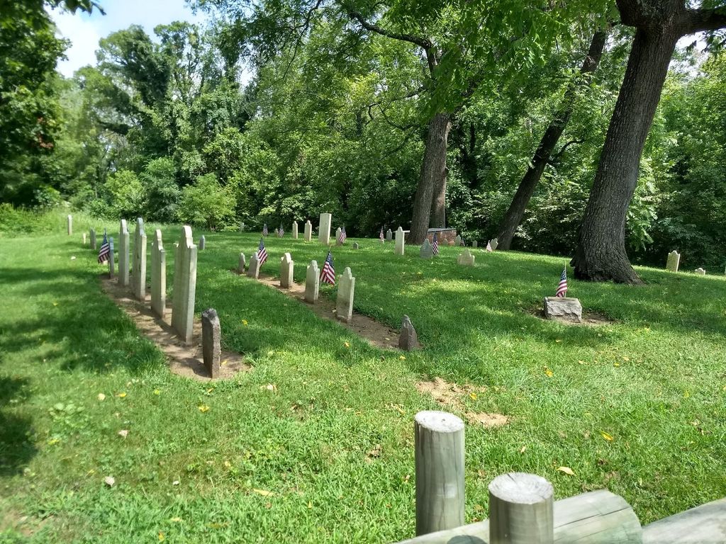
| Memorials | : | 43 |
| Location | : | Allentown, Monmouth County, USA |
| Coordinate | : | 40.1765300, -74.5844000 |
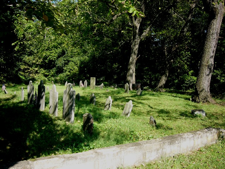
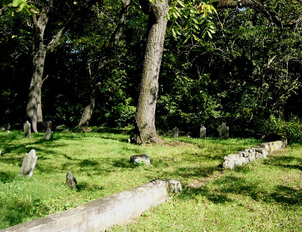
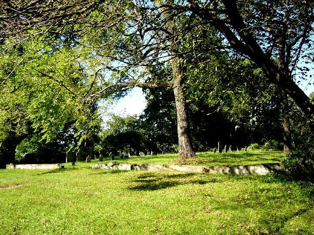
| Description | : | The earliest known stone is from 1738. |
frequently asked questions (FAQ):
-
Where is Old Christ Episcopal Burial Ground?
Old Christ Episcopal Burial Ground is located at Lakeview Road Allentown, Monmouth County ,New Jersey ,USA.
-
Old Christ Episcopal Burial Ground cemetery's updated grave count on graveviews.com?
43 memorials
-
Where are the coordinates of the Old Christ Episcopal Burial Ground?
Latitude: 40.1765300
Longitude: -74.5844000


Nearby Cemetories:
1. Allentown Presbyterian Church Cemetery
Allentown, Monmouth County, USA
Coordinate: 40.1737518, -74.5862503
2. Hamilton Street Cemetery
Allentown, Monmouth County, USA
Coordinate: 40.1801200, -74.5846800
3. Allentown Methodist Cemetery
Allentown, Monmouth County, USA
Coordinate: 40.1809578, -74.5833359
4. Saint Johns Cemetery
Allentown, Monmouth County, USA
Coordinate: 40.1742363, -74.5923615
5. Princeton Memorial Park and Mausoleum
Robbinsville, Mercer County, USA
Coordinate: 40.2107900, -74.5800700
6. Sharon Methodist Episcopal Cemetery
Robbinsville, Mercer County, USA
Coordinate: 40.2046180, -74.5526530
7. Old Ellisdale Cemetery
Ellisdale, Burlington County, USA
Coordinate: 40.1300125, -74.5839996
8. Crosswicks Community Cemetery
North Crosswicks, Mercer County, USA
Coordinate: 40.1627007, -74.6472015
9. Crosswicks Methodist Cemetery
Crosswicks, Burlington County, USA
Coordinate: 40.1506195, -74.6428375
10. Crosswicks Friends Meetinghouse Cemetery
Crosswicks, Burlington County, USA
Coordinate: 40.1518580, -74.6471970
11. Chesterfield Friends Burial Ground
Crosswicks, Burlington County, USA
Coordinate: 40.1519320, -74.6477880
12. Arneytown Cemetery
Wrightstown, Burlington County, USA
Coordinate: 40.1202000, -74.5769800
13. Cream Ridge Cemetery
Cream Ridge, Monmouth County, USA
Coordinate: 40.1349068, -74.5234375
14. Windsor United Methodist Church Cemetery
Windsor, Mercer County, USA
Coordinate: 40.2431297, -74.5825348
15. Groveville Cemetery
Groveville, Mercer County, USA
Coordinate: 40.1714900, -74.6717800
16. Hamilton Square Baptist Church Cemetery
Hamilton Square, Mercer County, USA
Coordinate: 40.2273600, -74.6531700
17. East Windsor Cemetery
Hightstown, Mercer County, USA
Coordinate: 40.2336121, -74.5236130
18. Upper Freehold Friends Burying Ground
Arneytown, Monmouth County, USA
Coordinate: 40.1014709, -74.5658340
19. First Presbyterian Churchyard
Hamilton Square, Mercer County, USA
Coordinate: 40.2297600, -74.6602700
20. Ye Olde Robbins Burial Place
Imlaystown, Monmouth County, USA
Coordinate: 40.1892300, -74.4810200
21. Hamilton Square Methodist Episcopal Churchyard
Hamilton Square, Mercer County, USA
Coordinate: 40.2312400, -74.6629600
22. Emleys Hill Methodist Episcopal Churchyard
Cream Ridge, Monmouth County, USA
Coordinate: 40.1433334, -74.4830551
23. Brigadier General William C. Doyle Memorial Cemetery
Arneytown, Burlington County, USA
Coordinate: 40.0940018, -74.5619583
24. East Branch Friends Burial Ground
Imlaystown, Monmouth County, USA
Coordinate: 40.1887500, -74.4742900