
| Memorials | : | 0 |
| Location | : | Blount County, USA |
| Coordinate | : | 33.7851400, -86.6444390 |
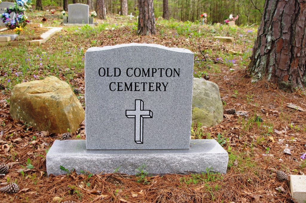
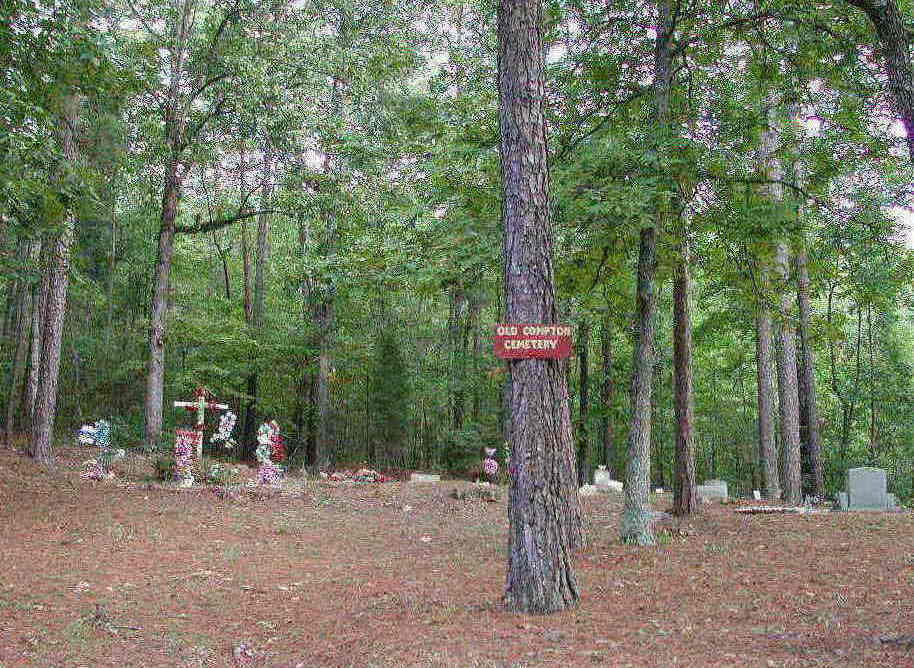
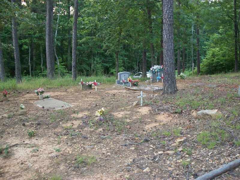
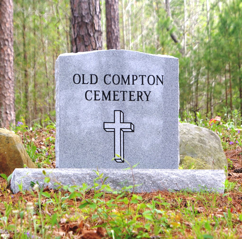
| Description | : | Township 14 South, Range 1 West, Section 28 Located a mile northeast of Village Springs, Alabama on Sand Valley Road. There are no less than a dozen graves marked only with stones that reach back into the wooded area. |
frequently asked questions (FAQ):
-
Where is Old Compton Cemetery?
Old Compton Cemetery is located at Blount County ,Alabama ,USA.
-
Old Compton Cemetery cemetery's updated grave count on graveviews.com?
0 memorials
-
Where are the coordinates of the Old Compton Cemetery?
Latitude: 33.7851400
Longitude: -86.6444390


Nearby Cemetories:
1. Hopewell United Methodist Church Cemetery
Remlap, Blount County, USA
Coordinate: 33.7719000, -86.6339000
2. Masseyline Church of God Cemetery
Pinson, Jefferson County, USA
Coordinate: 33.7915764, -86.6854782
3. Hopewell Baptist Cemetery
Pinson, Jefferson County, USA
Coordinate: 33.7676010, -86.6817017
4. Remlap Methodist Church Cemetery
Remlap, Blount County, USA
Coordinate: 33.8182983, -86.5991974
5. Love Family Cemetery
Locust Fork, Blount County, USA
Coordinate: 33.8326020, -86.6691210
6. Cedar Mount Baptist Church Cemetery
Pinson, Jefferson County, USA
Coordinate: 33.7475014, -86.6007996
7. Love Chapel Cemetery
Blount County, USA
Coordinate: 33.8210650, -86.7016180
8. Bethlehem United Methodist Church Cemetery
Locust Fork, Blount County, USA
Coordinate: 33.8428993, -86.6635971
9. McCombs-Donegan Cemetery
Bradford, Jefferson County, USA
Coordinate: 33.7520422, -86.7075942
10. Vandiver Cemetery
County Line, Blount County, USA
Coordinate: 33.8224983, -86.7099991
11. Pine Mountain Baptist Church Cemetery
Rainbow City, Etowah County, USA
Coordinate: 33.8096860, -86.5700600
12. Pleasant Mount Cemetery
St. Clair County, USA
Coordinate: 33.8007090, -86.5648610
13. Sargent Cemetery
Blount County, USA
Coordinate: 33.8409920, -86.6918380
14. Lees Chapel Cemetery
Pine Mountain, Blount County, USA
Coordinate: 33.8037682, -86.5629196
15. County Line Baptist Church Cemetery
County Line, Blount County, USA
Coordinate: 33.8208008, -86.7197037
16. Pleasant Grove Methodist Church Cemetery
Dallas, Blount County, USA
Coordinate: 33.8447990, -86.6994019
17. Holston Chapel United Methodist Church Cemetery
County Line, Blount County, USA
Coordinate: 33.8247100, -86.7231900
18. Youngblood Family Cemetery
Dallas, Blount County, USA
Coordinate: 33.8614940, -86.6508190
19. Hughes Cemetery
Jefferson County, USA
Coordinate: 33.7528000, -86.7313995
20. Mount Calvary Cemetery
Clay, Jefferson County, USA
Coordinate: 33.7352982, -86.5658035
21. Dewey Heights Baptist Church Cemetery
Pinson, Jefferson County, USA
Coordinate: 33.7012000, -86.6337570
22. Red Hill Cemetery
Pinson, Jefferson County, USA
Coordinate: 33.7023239, -86.6714859
23. Philadelphia Cemetery Old
Locust Fork, Blount County, USA
Coordinate: 33.8682251, -86.6792221
24. Clay United Methodist Church Cemetery
Pinson, Jefferson County, USA
Coordinate: 33.7029991, -86.6018982