
| Memorials | : | 0 |
| Location | : | County Line, Blount County, USA |
| Coordinate | : | 33.8247100, -86.7231900 |
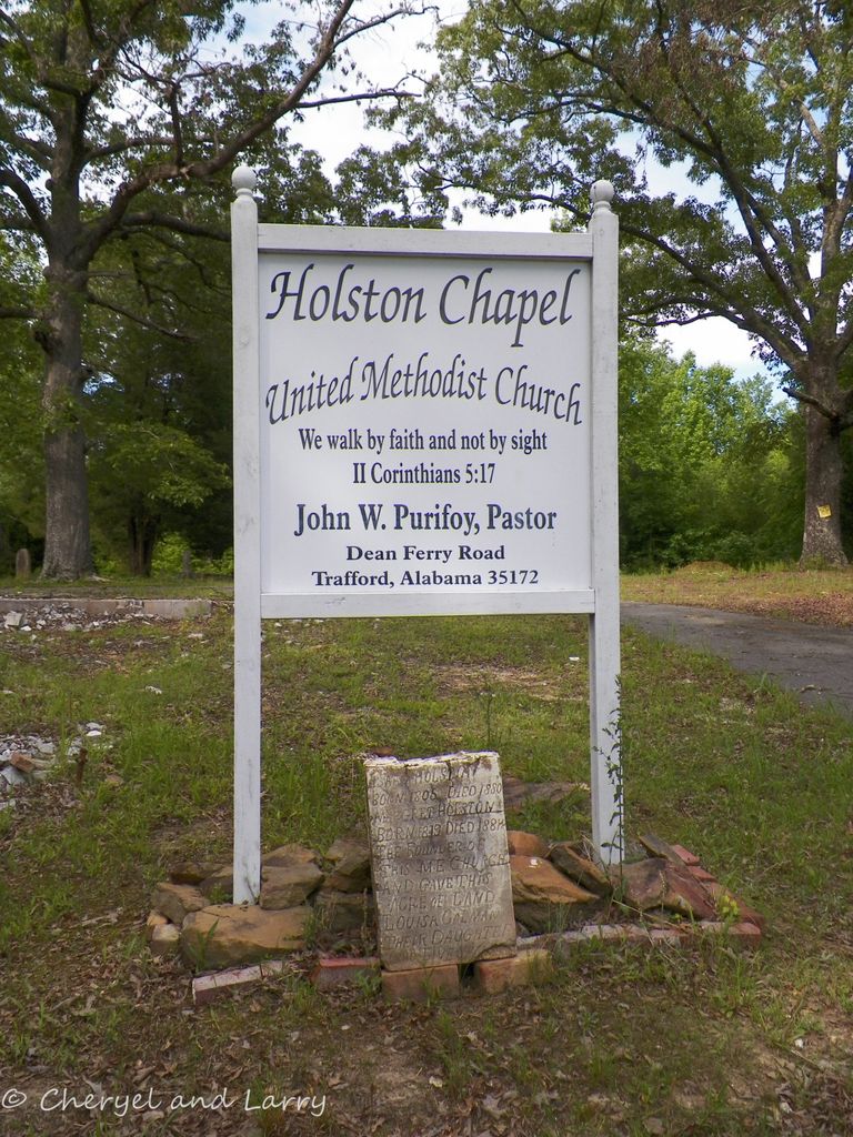
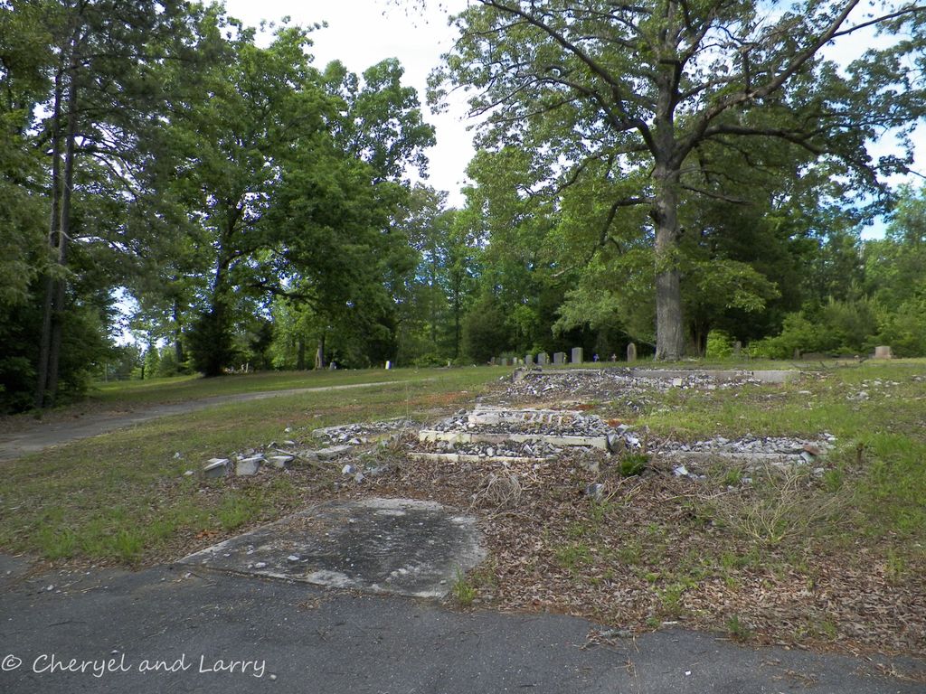
| Description | : | Isaac Holston was the founder of this Methodist Episcopal Church and provided the land for the church and cemetery. In 2012 the church was destroyed by arson. |
frequently asked questions (FAQ):
-
Where is Holston Chapel United Methodist Church Cemetery?
Holston Chapel United Methodist Church Cemetery is located at Deans Ferry Road County Line, Blount County ,Alabama , 35172USA.
-
Holston Chapel United Methodist Church Cemetery cemetery's updated grave count on graveviews.com?
0 memorials
-
Where are the coordinates of the Holston Chapel United Methodist Church Cemetery?
Latitude: 33.8247100
Longitude: -86.7231900


Nearby Cemetories:
1. County Line Baptist Church Cemetery
County Line, Blount County, USA
Coordinate: 33.8208008, -86.7197037
2. Vandiver Cemetery
County Line, Blount County, USA
Coordinate: 33.8224983, -86.7099991
3. Love Chapel Cemetery
Blount County, USA
Coordinate: 33.8210650, -86.7016180
4. Pleasant Grove Methodist Church Cemetery
Dallas, Blount County, USA
Coordinate: 33.8447990, -86.6994019
5. Sargent Cemetery
Blount County, USA
Coordinate: 33.8409920, -86.6918380
6. Elvester Cemetery
Blount County, USA
Coordinate: 33.8446999, -86.7696991
7. Love Family Cemetery
Locust Fork, Blount County, USA
Coordinate: 33.8326020, -86.6691210
8. Masseyline Church of God Cemetery
Pinson, Jefferson County, USA
Coordinate: 33.7915764, -86.6854782
9. Bethlehem United Methodist Church Cemetery
Locust Fork, Blount County, USA
Coordinate: 33.8428993, -86.6635971
10. Philadelphia Cemetery New
Locust Fork, Blount County, USA
Coordinate: 33.8690440, -86.6869570
11. Philadelphia Cemetery Old
Locust Fork, Blount County, USA
Coordinate: 33.8682251, -86.6792221
12. Hays Cemetery
Hayden, Blount County, USA
Coordinate: 33.8821983, -86.7416992
13. Liberty-Minter Cemetery
Morris, Jefferson County, USA
Coordinate: 33.7680016, -86.7645035
14. Hopewell Baptist Cemetery
Pinson, Jefferson County, USA
Coordinate: 33.7676010, -86.6817017
15. Creel Family Cemetery
Jefferson County, USA
Coordinate: 33.7596817, -86.7521439
16. Providence Cemetery
Hayden, Blount County, USA
Coordinate: 33.8858170, -86.7642880
17. Youngblood Family Cemetery
Dallas, Blount County, USA
Coordinate: 33.8614940, -86.6508190
18. Hayden Cemetery
Hayden, Blount County, USA
Coordinate: 33.8889008, -86.7584991
19. Hughes Cemetery
Jefferson County, USA
Coordinate: 33.7528000, -86.7313995
20. Gethsemane Baptist Church Cemetery
Hayden, Blount County, USA
Coordinate: 33.8968010, -86.7396011
21. McCombs-Donegan Cemetery
Bradford, Jefferson County, USA
Coordinate: 33.7520422, -86.7075942
22. Stewarts Chapel Methodist Cemetery
Hayden, Blount County, USA
Coordinate: 33.8549995, -86.8061981
23. Center Hill Independent Presbyterian Cemetery
Blount County, USA
Coordinate: 33.8775650, -86.6581700
24. Old Compton Cemetery
Blount County, USA
Coordinate: 33.7851400, -86.6444390