| Memorials | : | 0 |
| Location | : | Chapel Hill, Lafayette County, USA |
| Coordinate | : | 38.9520656, -94.0683365 |
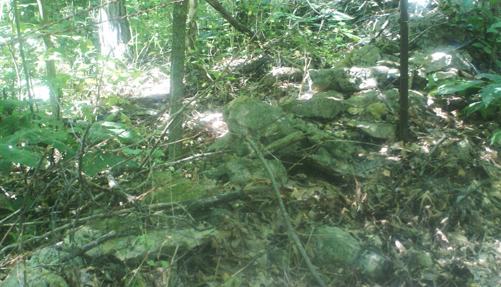
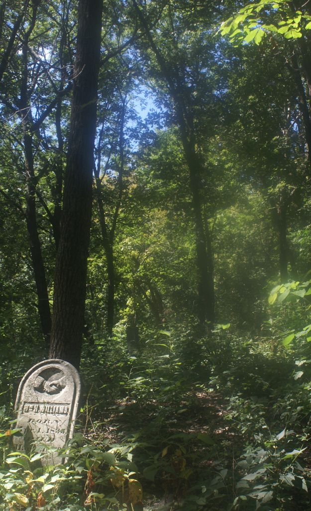
| Description | : | This cemetery is located in the North end of the Northeast Quarter of the Southwest Quarter of Section 24, Township 48, Range 29, approximately 3 miles north and one-half mile west of Chapel Hill in the southwest portion of Sni-A-Bar Township. This appears to be the gate that once lead into the cemetery. to get to it I took Highway Z until I saw the sign for Concord Baptist church (about 3.9 miles north of Chapel hills city limits) I then turned West at that intersection. going East will quickly lead you to the newer Concord Baptist cemetery est. in... Read More |
frequently asked questions (FAQ):
-
Where is Old Concord Baptist Cemetery?
Old Concord Baptist Cemetery is located at Chapel Hill, Lafayette County ,Missouri ,USA.
-
Old Concord Baptist Cemetery cemetery's updated grave count on graveviews.com?
0 memorials
-
Where are the coordinates of the Old Concord Baptist Cemetery?
Latitude: 38.9520656
Longitude: -94.0683365
Nearby Cemetories:
1. Concord Cemetery
Bates City, Lafayette County, USA
Coordinate: 38.9586182, -94.0532761
2. Ferguson Family Cemetery
Lafayette County, USA
Coordinate: 38.9720500, -94.0825800
3. Shore Cemetery
Lafayette County, USA
Coordinate: 38.9244003, -94.0817032
4. Webb Family Cemetery
Oak Grove, Jackson County, USA
Coordinate: 38.9827800, -94.1126300
5. Hill Cemetery
Johnson County, USA
Coordinate: 38.9035988, -94.0963974
6. Corn Cemetery
Oak Grove, Jackson County, USA
Coordinate: 38.9614100, -94.1357500
7. Bates City Cemetery
Bates City, Lafayette County, USA
Coordinate: 39.0060997, -94.0556030
8. Sni-Mills Holiness Cemetery
Lone Jack, Jackson County, USA
Coordinate: 38.9369400, -94.1374300
9. Cobb Cemetery
Johnson County, USA
Coordinate: 38.9117012, -94.0128021
10. Cobb Cemetery
Odessa, Lafayette County, USA
Coordinate: 38.9115500, -94.0126800
11. McKendree Cemetery
Chapel Hill, Lafayette County, USA
Coordinate: 38.9217110, -93.9972610
12. Cummins Cemetery
Oak Grove, Jackson County, USA
Coordinate: 38.9506700, -94.1516100
13. Oak Grove Cemetery
Oak Grove, Jackson County, USA
Coordinate: 38.9872010, -94.1386700
14. George Historic Cemetery
Oak Grove, Jackson County, USA
Coordinate: 38.9844017, -94.1481018
15. Thomas H. Brown Cemetery
Oak Grove, Jackson County, USA
Coordinate: 38.9900017, -94.1613998
16. Corn Cemetery
Lee's Summit, Jackson County, USA
Coordinate: 38.9352989, -94.1744003
17. Koger Cemetery
Oak Grove, Jackson County, USA
Coordinate: 38.9494019, -94.1913986
18. Elm Spring Baptist Church Cemetery
Kingsville, Johnson County, USA
Coordinate: 38.8559952, -94.0429993
19. Underwood Cemetery
Lone Jack, Jackson County, USA
Coordinate: 38.8630981, -94.1222000
20. Gosney Cemetery
Lone Jack, Jackson County, USA
Coordinate: 38.9333000, -94.1928024
21. Gosney Cemetery
Clay County, USA
Coordinate: 38.9332900, -94.1931600
22. Woods Chapel Cemetery
Odessa, Lafayette County, USA
Coordinate: 38.8883530, -93.9694710
23. Wood's Chapel Cemetery
Johnson County, USA
Coordinate: 38.8884100, -93.9684700
24. Yankee Cemetery
Lone Jack, Jackson County, USA
Coordinate: 38.8645200, -94.1406400


