| Memorials | : | 21 |
| Location | : | Elliston, Powell County, USA |
| Coordinate | : | 46.5610000, -112.3983000 |
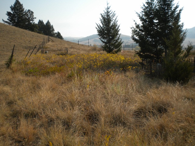
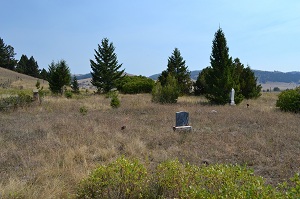
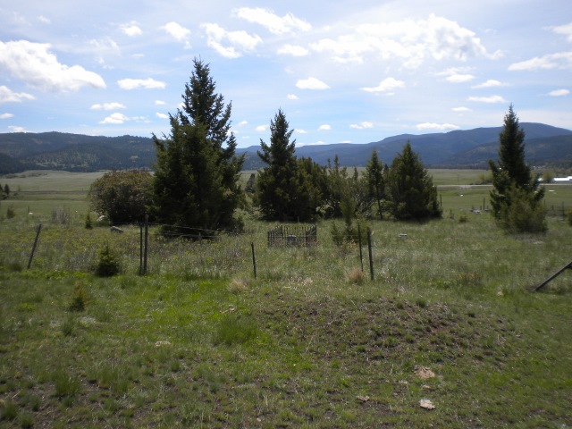
| Description | : | The Old Elliston Cemetery was created in August 1868 when the woman who owned the ranch land was found murdered in her cabin. The woman, nicknamed “The Old French Woman” ran the toll road crossing over the continental divide created in 1855 by Capt. Mullan. The cemetery was then used from 1868 until 1924 when 2 additional burials were permitted with the last burial in 1949. Directions; When entering Elliston from the East on Highway 12 take the 1st turn to your right going over the railroad tracks where you come to a "T" in the road,... Read More |
frequently asked questions (FAQ):
-
Where is Old Elliston Cemetery?
Old Elliston Cemetery is located at Elliston, Powell County ,Montana ,USA.
-
Old Elliston Cemetery cemetery's updated grave count on graveviews.com?
21 memorials
-
Where are the coordinates of the Old Elliston Cemetery?
Latitude: 46.5610000
Longitude: -112.3983000
Nearby Cemetories:
1. Elliston Cemetery
Elliston, Powell County, USA
Coordinate: 46.5693090, -112.4406270
2. Avon Cemetery
Avon, Powell County, USA
Coordinate: 46.6111580, -112.6049040
3. Blackfoot City Cemetery
Avon, Powell County, USA
Coordinate: 46.6800000, -112.5520000
4. Fort William Henry Harrison Cemetery
Helena, Lewis and Clark County, USA
Coordinate: 46.6227000, -112.1103000
5. Marysville Cemetery
Lewis and Clark County, USA
Coordinate: 46.7566986, -112.2902985
6. Montana State Veterans Cemetery
Helena, Lewis and Clark County, USA
Coordinate: 46.6151886, -112.0993042
7. Montana Medal of Honor Grove
Helena, Lewis and Clark County, USA
Coordinate: 46.6227300, -112.0956300
8. John Montgomery Gravesite
Unionville, Lewis and Clark County, USA
Coordinate: 46.5170000, -112.0845000
9. Calvary Cemetery
Lewis and Clark County, USA
Coordinate: 46.5997009, -112.0714035
10. Silver City Cemetery
Silver City, Lewis and Clark County, USA
Coordinate: 46.7360992, -112.1800003
11. Home of Peace Cemetery
Helena, Lewis and Clark County, USA
Coordinate: 46.6152992, -112.0500031
12. Saint Peters Episcopal Cathedral Columbarium
Helena, Lewis and Clark County, USA
Coordinate: 46.5925598, -112.0400925
13. Benton Avenue Cemetery
Helena, Lewis and Clark County, USA
Coordinate: 46.6045265, -112.0415497
14. City Cemetery (Defunct)
Helena, Lewis and Clark County, USA
Coordinate: 46.5896660, -112.0360010
15. Silver Creek Road Cemetery
Lewis and Clark County, USA
Coordinate: 46.6994500, -112.0916000
16. Cathedral of the Sacred Hearts of Jesus and Mary
Helena, Lewis and Clark County, USA
Coordinate: 46.5902550, -112.0339480
17. Lewis and Clark County Poor Farm Cemetery
Helena, Lewis and Clark County, USA
Coordinate: 46.6235460, -112.0383316
18. Old Catholic Cemetery
Helena, Lewis and Clark County, USA
Coordinate: 46.5779120, -112.0183220
19. Forestvale Cemetery
Helena, Lewis and Clark County, USA
Coordinate: 46.6563988, -112.0361023
20. Plymouth Congregational Church Columbarium
Helena, Lewis and Clark County, USA
Coordinate: 46.5804000, -112.0109000
21. IOOF Cemetery
Helena, Lewis and Clark County, USA
Coordinate: 46.6535873, -112.0311966
22. Old Saint Marys Catholic Cemetery
Helena, Lewis and Clark County, USA
Coordinate: 46.5958150, -112.0105560
23. Lewis and Clark County Cemetery
Helena, Lewis and Clark County, USA
Coordinate: 46.6558870, -112.0319440
24. Resurrection Cemetery
Helena, Lewis and Clark County, USA
Coordinate: 46.6293983, -112.0171967


